


Circumnavigation of the Iberian Peninsula: A Cycling Tour from the Mediterranean to the Atlantic and Back Again
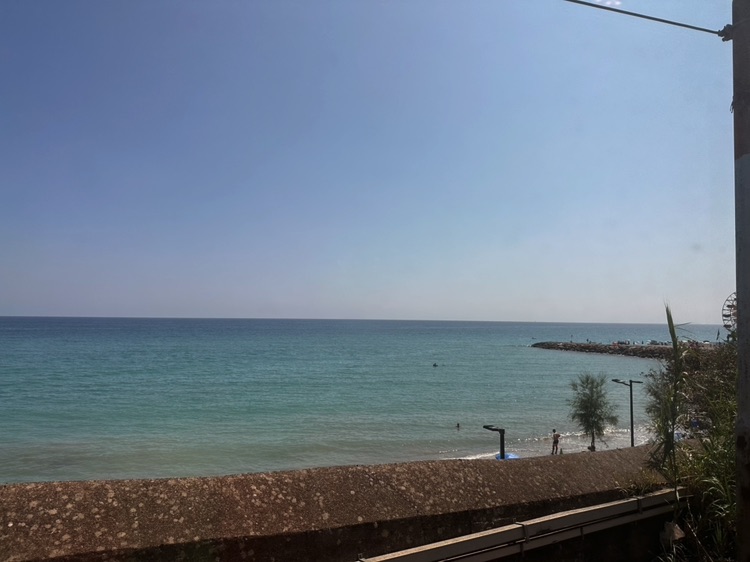
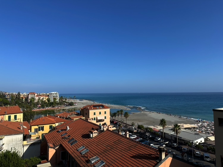
With the first light of day, the Mediterranean lay calm beneath Ventimiglia, the last Italian outpost of the Riviera di Ponente. Behind me, the Alps closed the horizon, while ahead, the coast stretched toward France, where the French Prealps rose in the distance, promising backroads, silent valleys, and hidden viewpoints to explore.
The bicycle was ready, packed with everything I needed; the air was fresh, and the border just a few kilometers away. It was there, where mountain bends toward the sea, that my adventure began.
A solo and fully independent journey along the natural boundaries of the Iberian Peninsula, from the Mediterranean to the Atlantic and back.
A cycling circumnavigation through Italy, France, Spain, and Portugal, following coasts, ancient paths, and secondary roads, letting landscape, light, and the rhythm of the body guide every pedal stroke.
From the Mediterranean to France
Leaving Ventimiglia immediately revealed the essence of the journey. Steep mountains and the deep blue of the Mediterranean coexisted in the same gaze, announcing a constant oscillation between land and water, effort and contemplation.
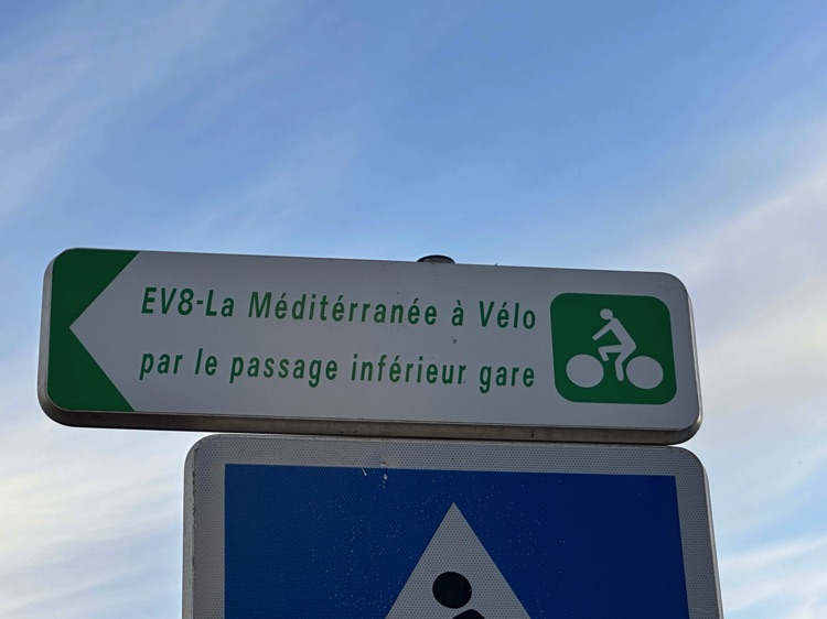
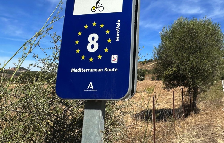
The first days unfolded along coastal panoramas and luminous towns, following sections of the EuroVelo 8 – Mediterranean Cycle Route, along the Côte d’Azur, all the way to the lagoon of Étang de Salses-Leucate.
Towards the Atlantic
Moving away from the coast, the landscape changed. The coastal plains gave way to the French Prealps and then the long line of the Atlantic Ocean. Crossing the Bidasoa River, I entered Spain at Irun, along the Camino del Norte.
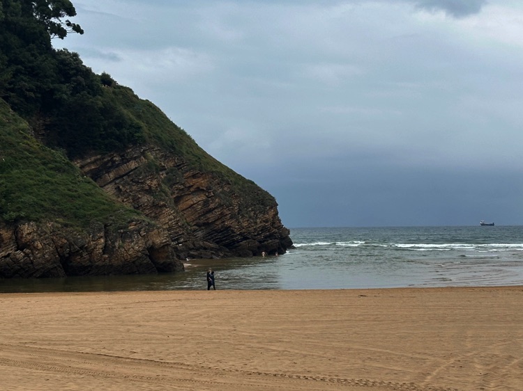
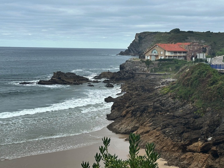
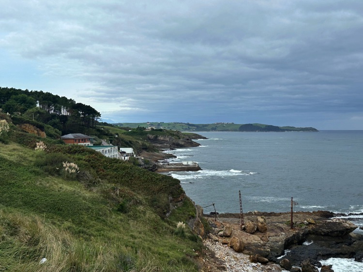
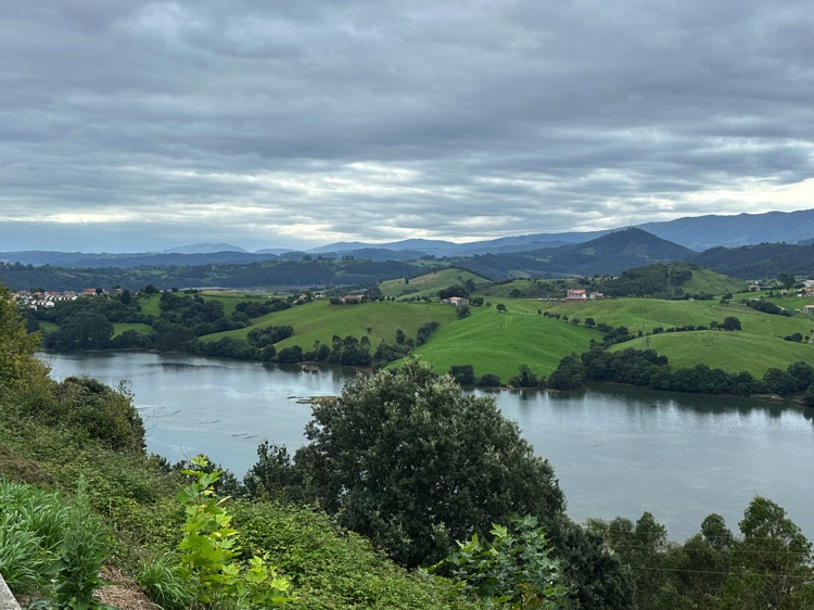
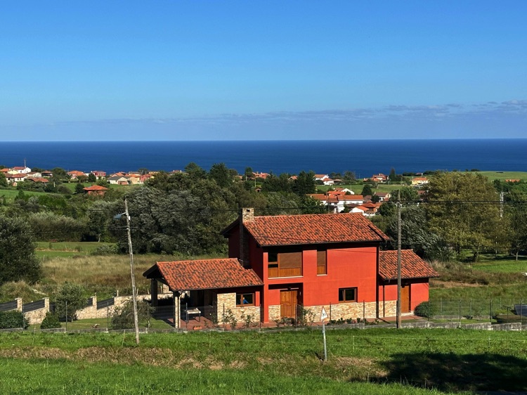
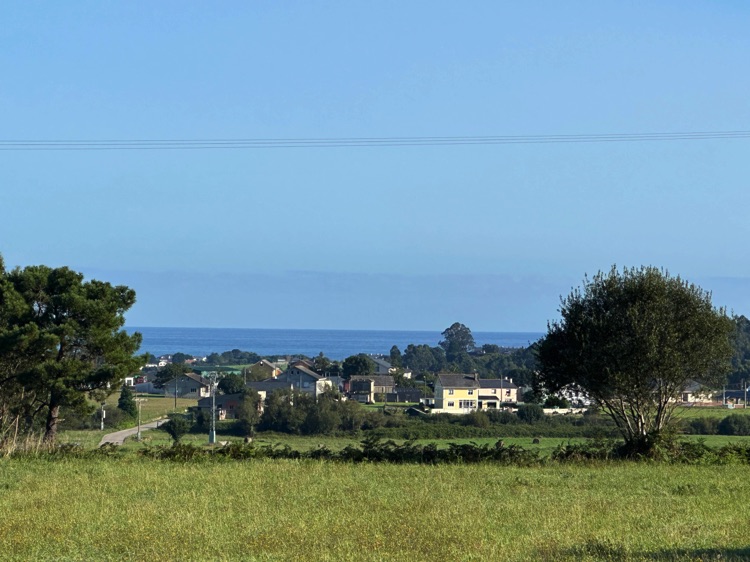
The Basque Country, Cantabria, and Asturias followed in a continuous dialogue with the ocean: cliffs, green pastures, and wind-swept fishing villages.
Paths and Borders
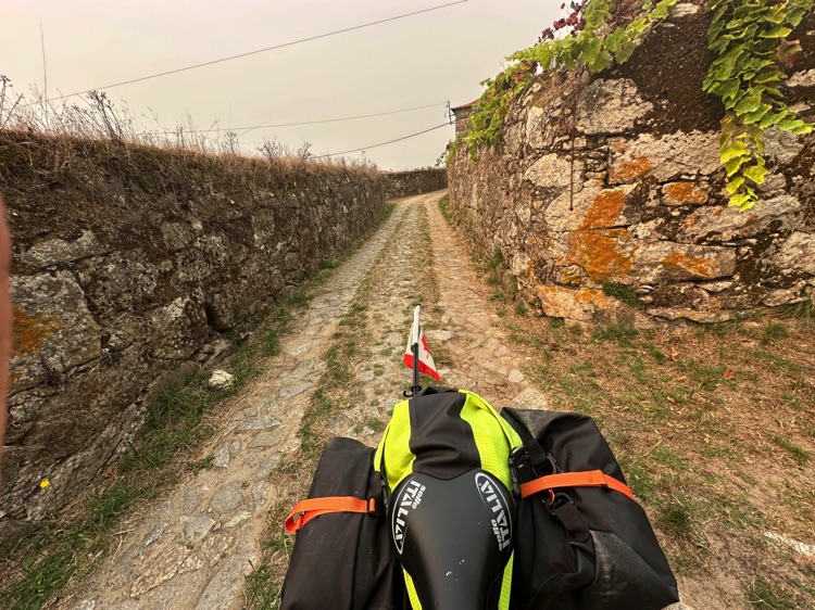
In Galicia, the route turned inland toward Santiago de Compostela, a crossroads of roads and spirituality. Beyond the Miño River, I followed the Camino Português into Portugal, alternating coast and countryside until reaching the luminous landscapes of the Algarve, shaped by wind and light.
The South and the Turning Point
From the border at Vila Real de Santo António, I crossed the Guadiana River into Andalusia. Seville appeared as an island of water and stone, before reaching Punta de Tarifa, the extreme edge of Europe, where the Atlantic and Mediterranean meet, and on clear days, Africa rises on the horizon.
Returning along the Mediterranean
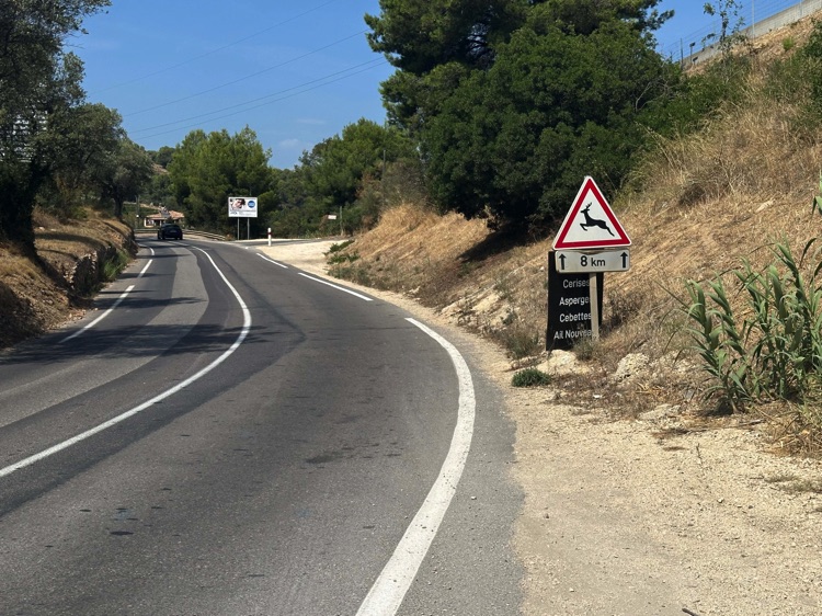
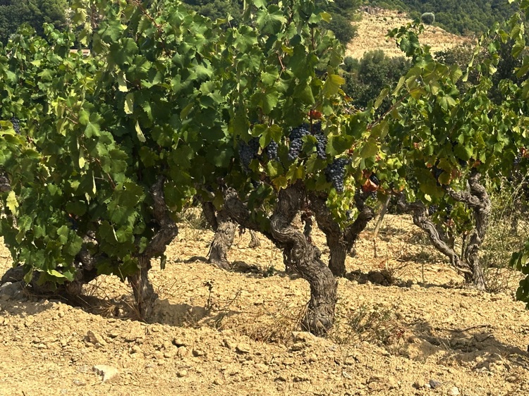
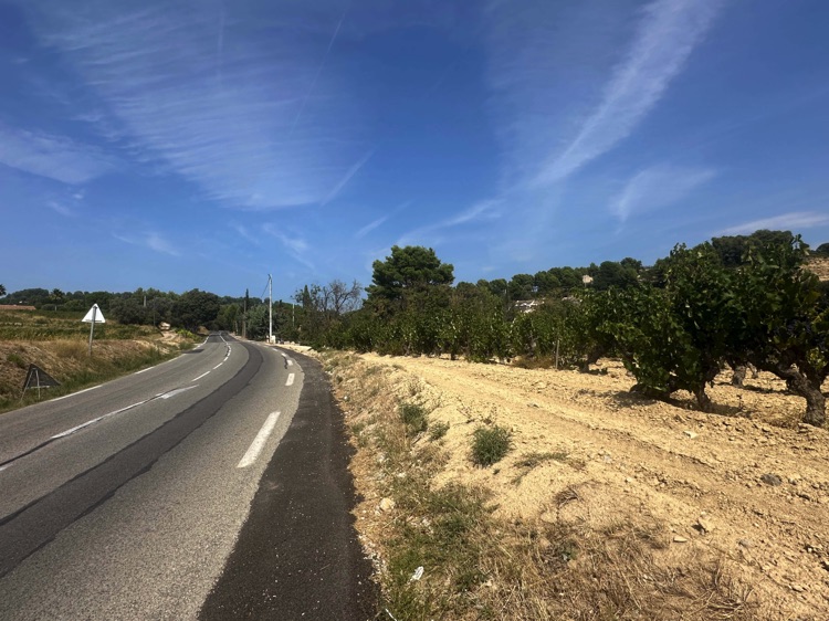
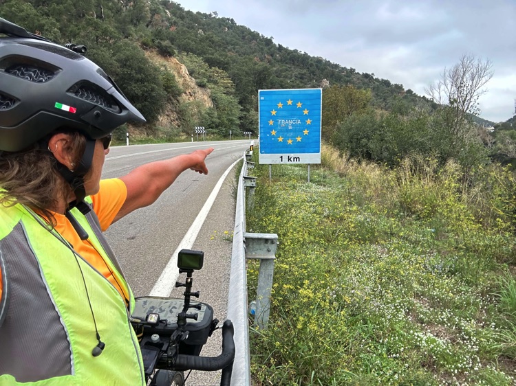
From Tarifa, I began the ride eastward: Costa del Sol, Costa Blanca, Costa Brava. Re-entering France at La Jonquera, I avoided the outbound route, passing through Arles and a surprisingly green inland Provence, among vineyards, countryside, and cork forests in the Forêt communale de Fréjus.
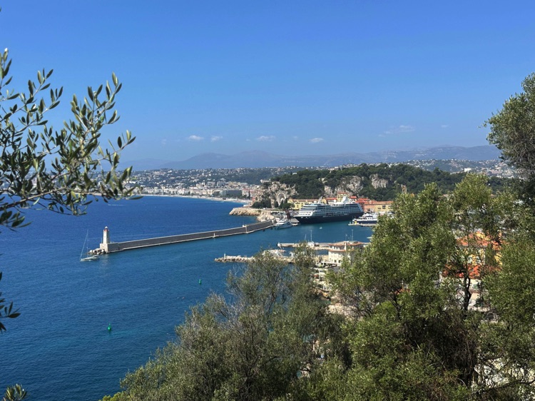
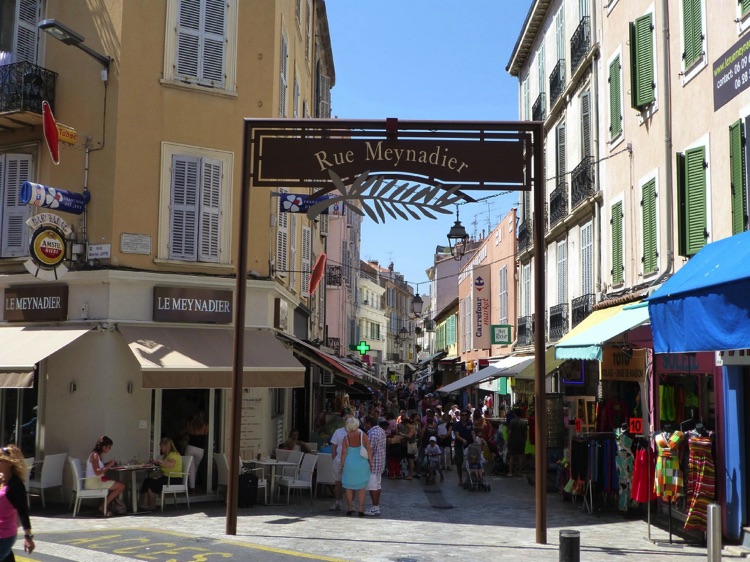
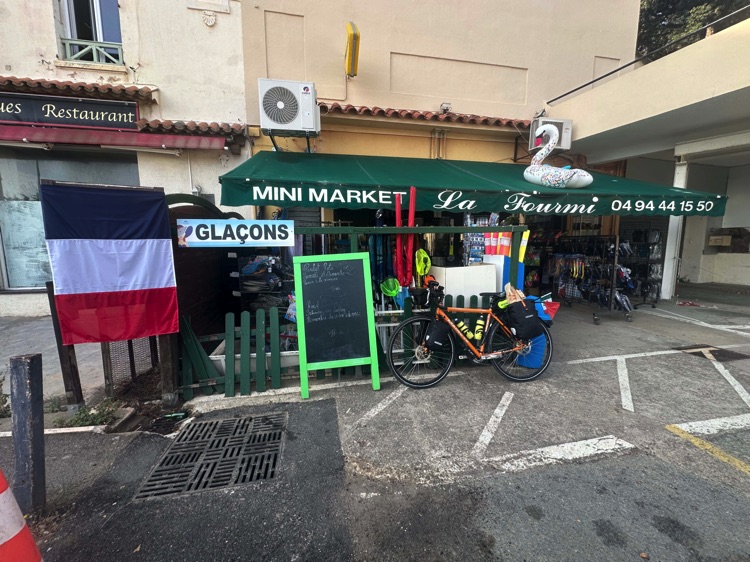
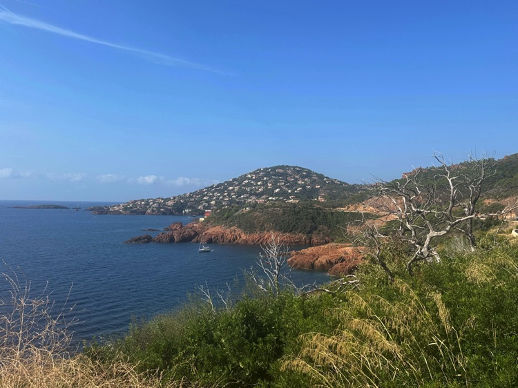
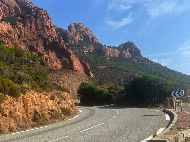
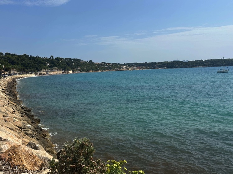
The climb to the Col du Testanier (311 m) was the last true threshold. From above, the Mediterranean appeared suddenly on the horizon. The descent slowly returned me to the sea: from Cannes to Nice, the coastline unfolded among sunlit bays and rocky headlands.
Riding the Grande Corniche, the views became monumental: the sparkling sea below, Monaco suspended between sky and water.
Passing La Trinité, I reached La Turbie, hanging above the Principality, where fatigue gave way to wonder. The final descent crossed Roquebrune and Menton, through citrus groves and Mediterranean light, until returning to Ventimiglia, framed between sea and mountains.
Closing the Circle
The circumnavigation of the Iberian Peninsula was complete, from the Mediterranean to the Atlantic and back, crossing Italy, France, Spain, and Portugal.
It was not just a geographical journey, but a crossing of landscapes, cultures, and inner borders: a map of emotions etched forever into the geography of the hea

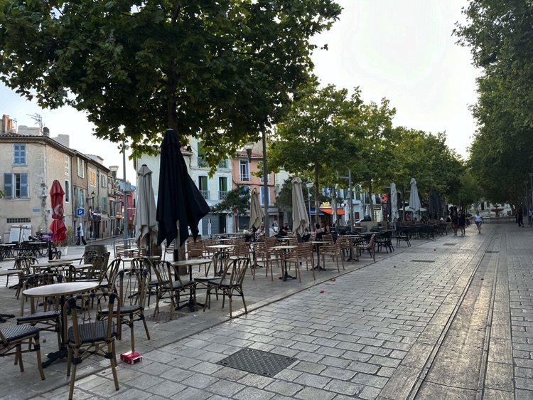
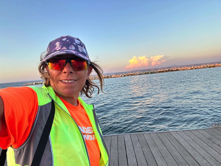
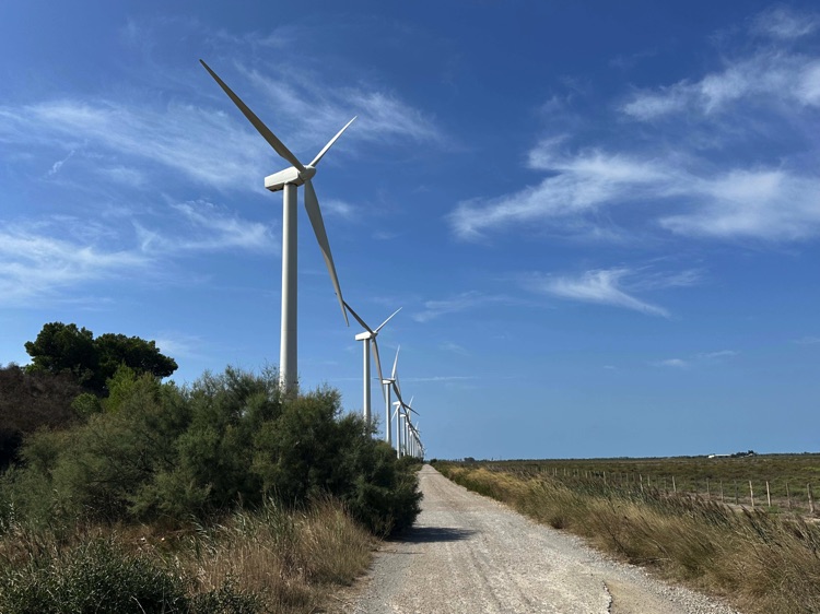
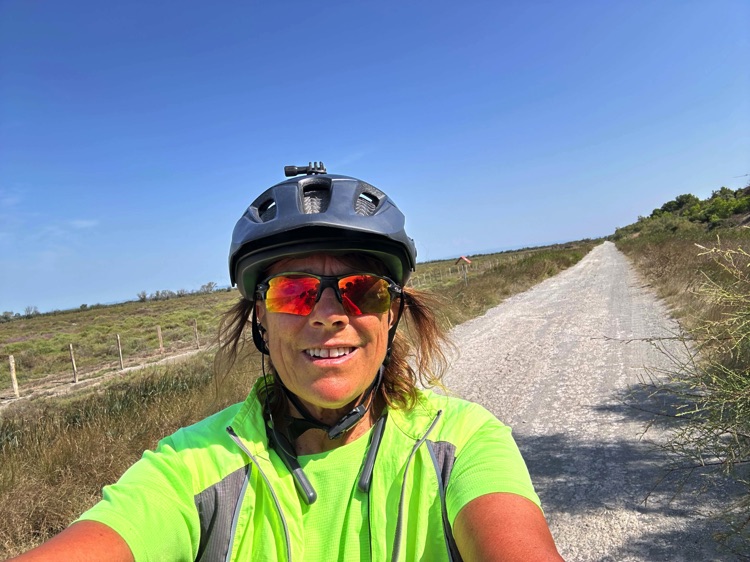
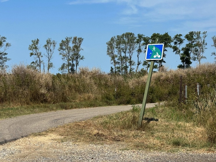
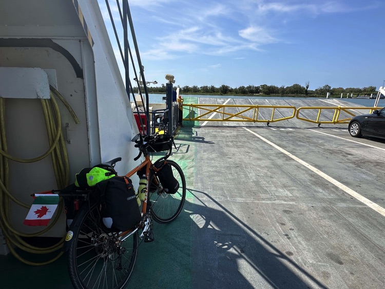
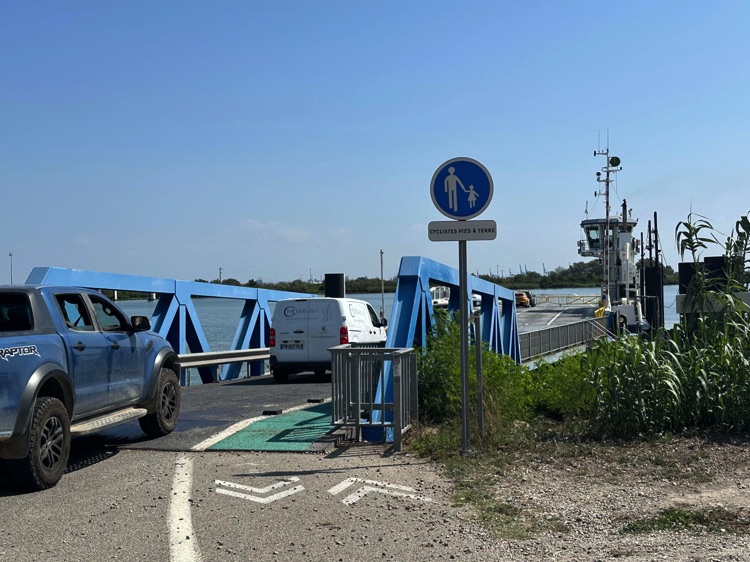
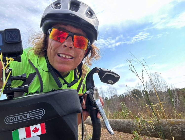
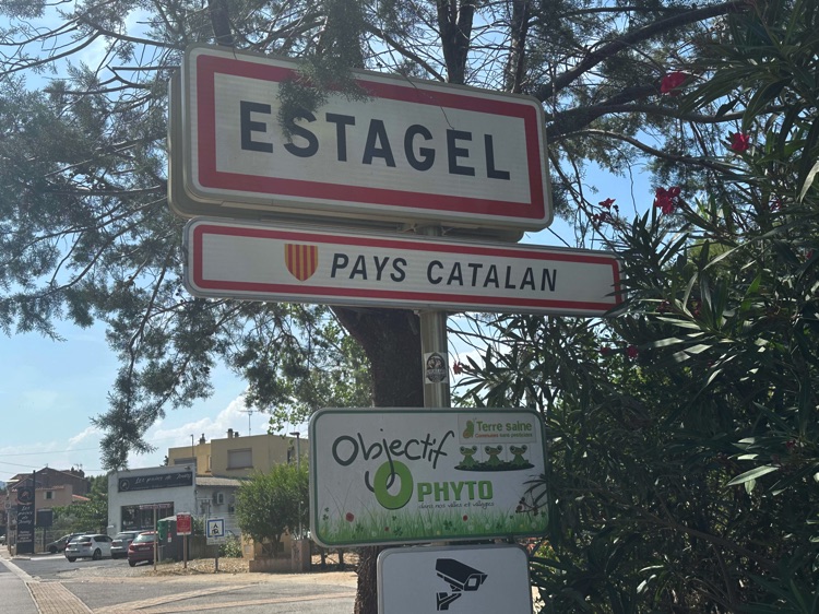
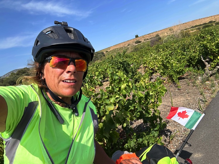
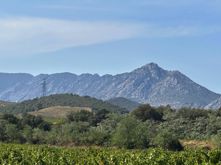
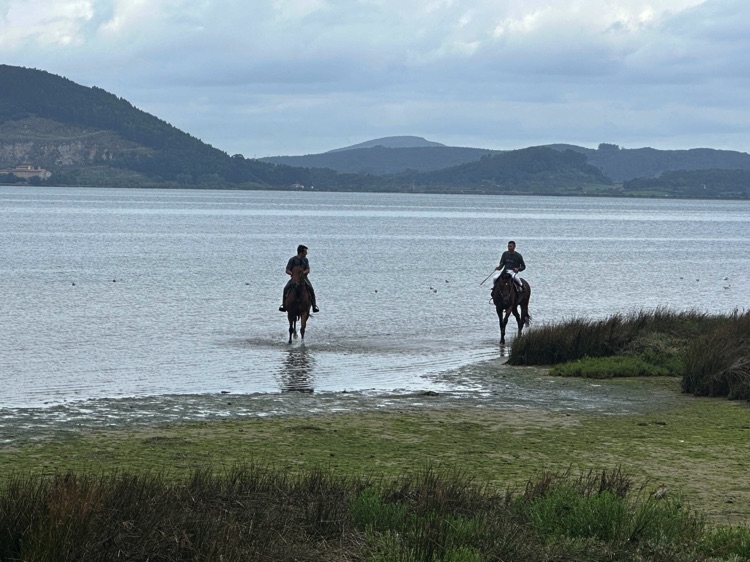
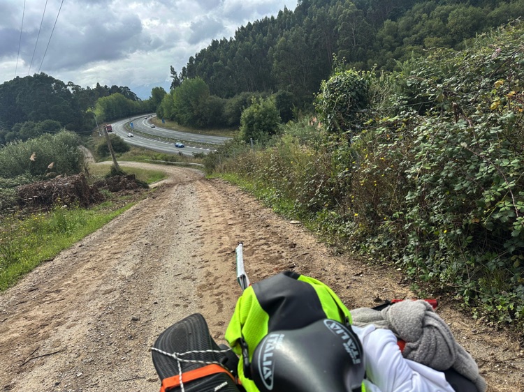
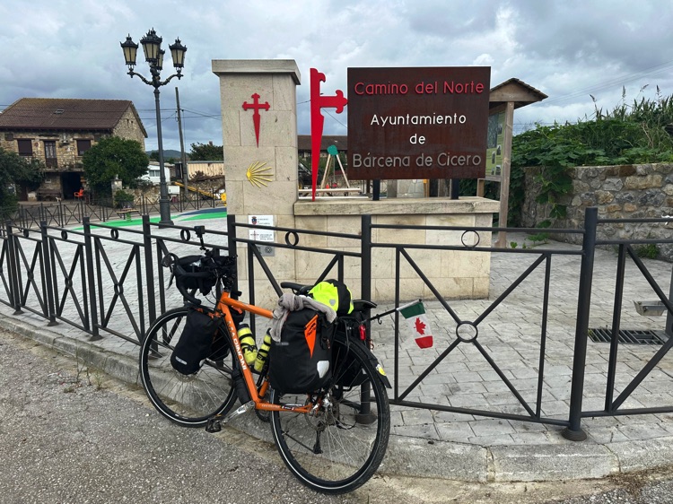
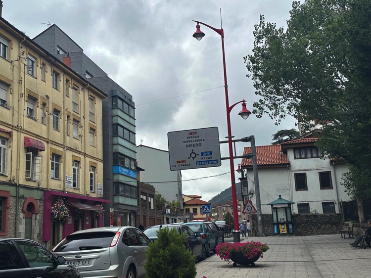
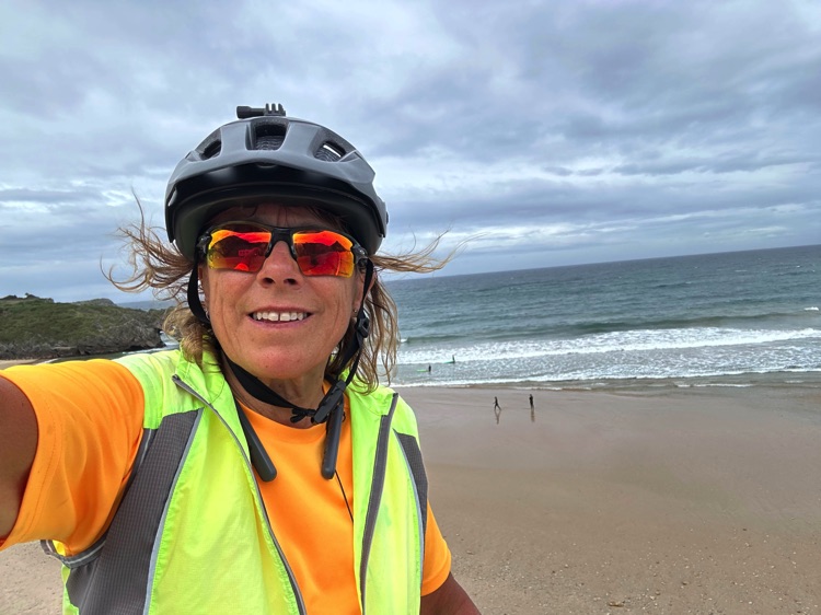
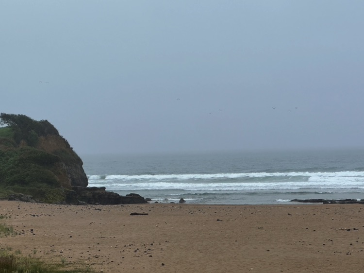
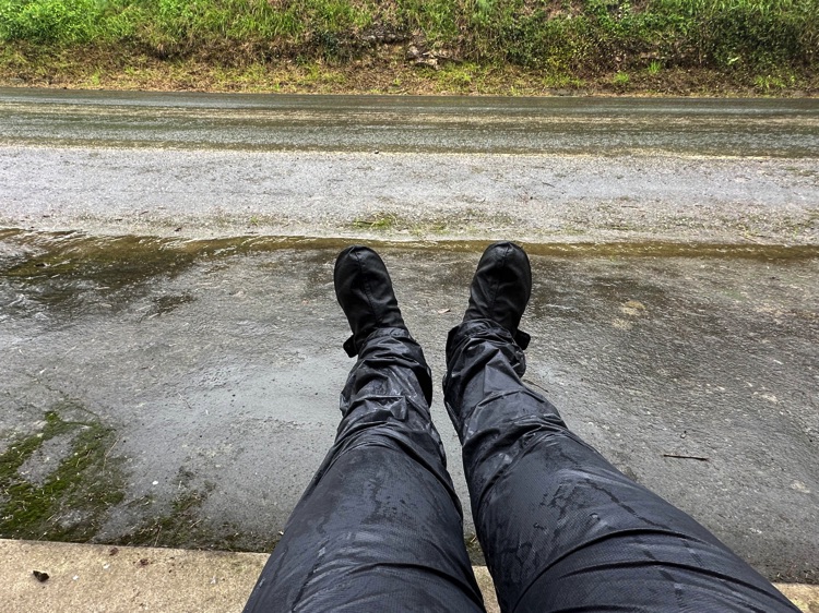
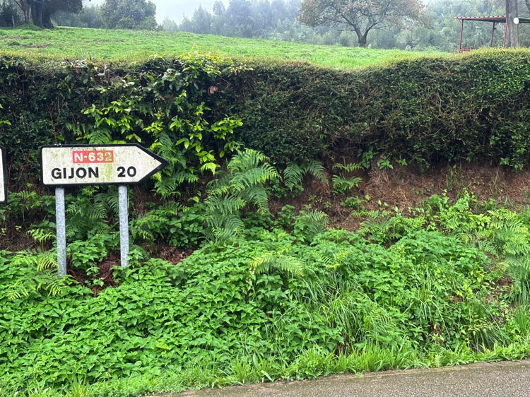
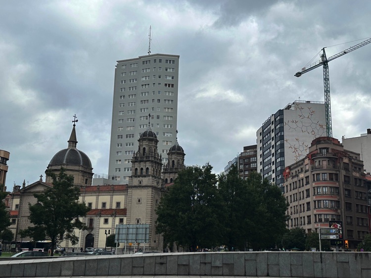
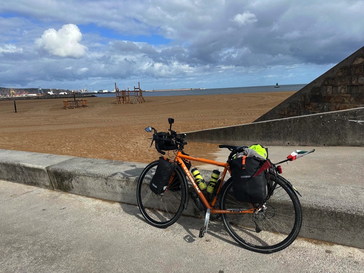
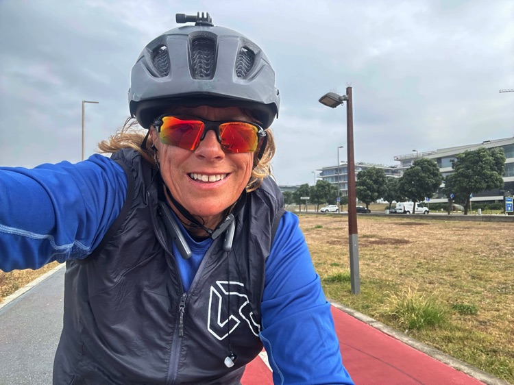
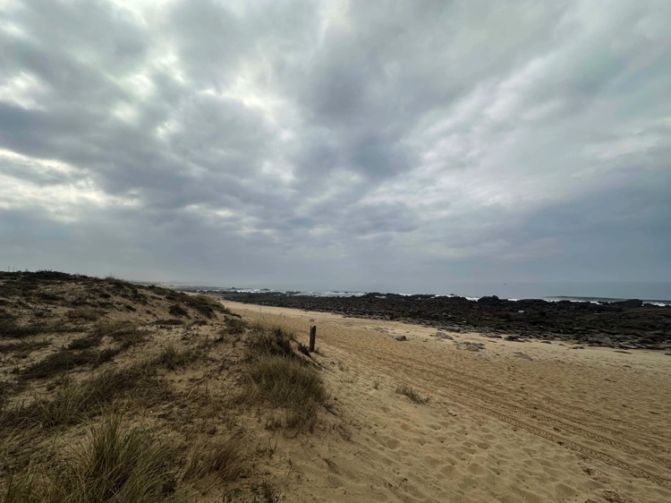
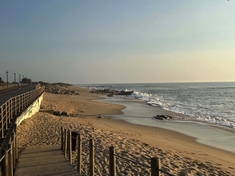
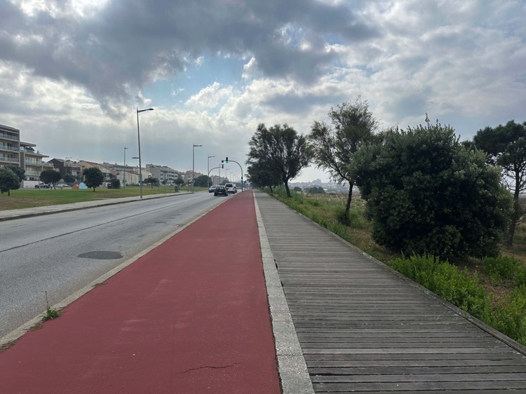
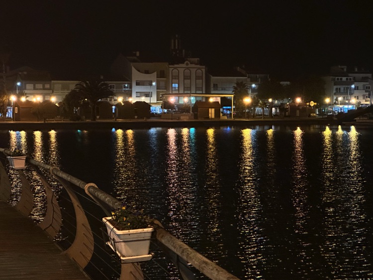
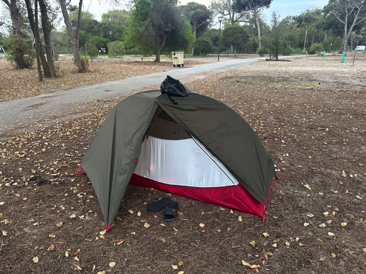
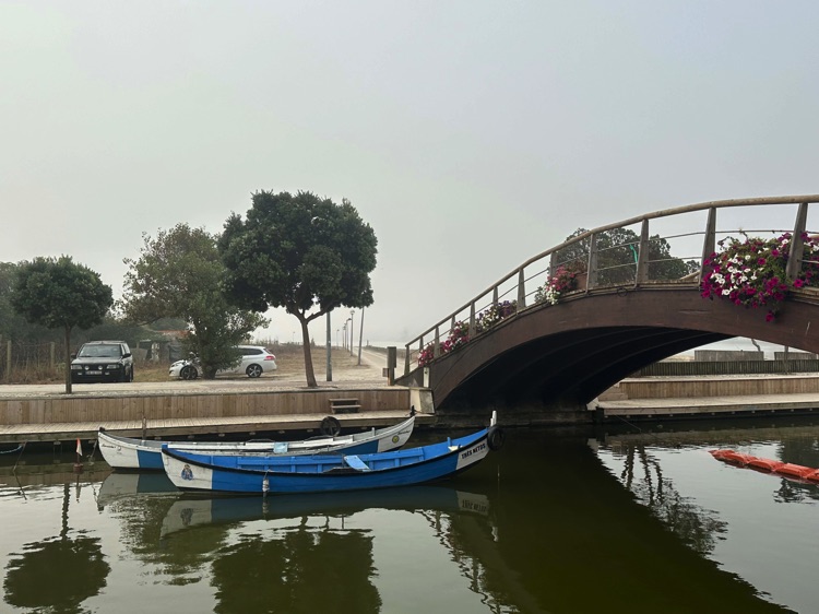
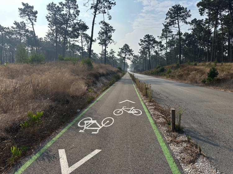
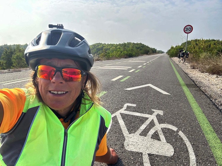
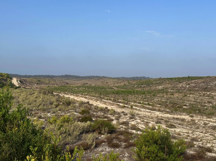
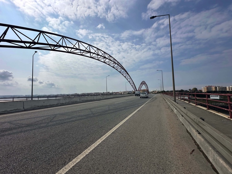
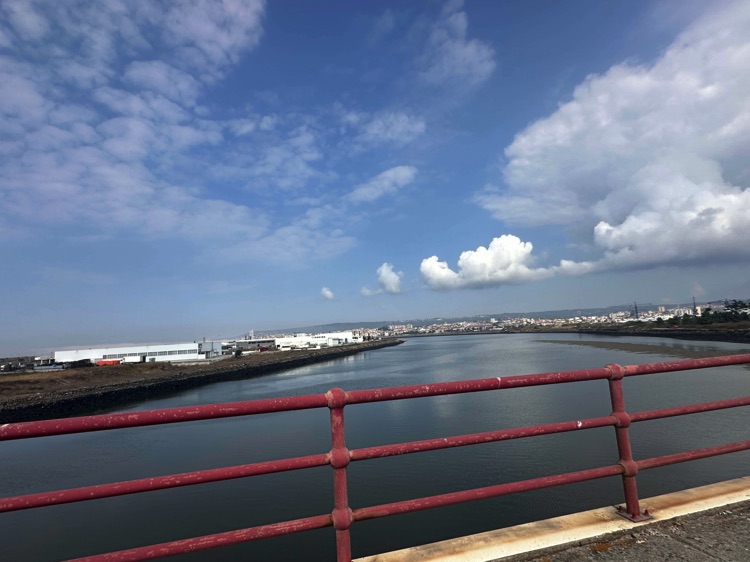
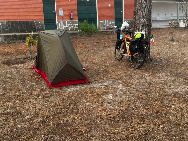
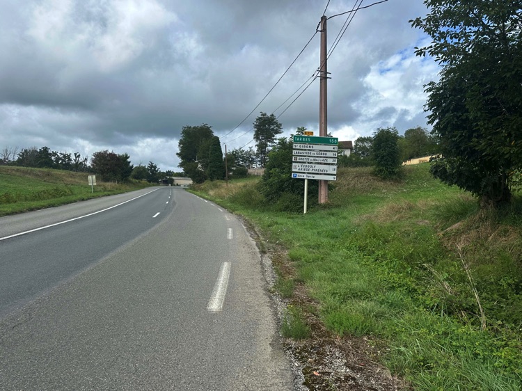
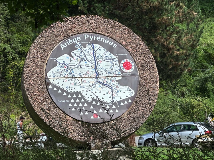
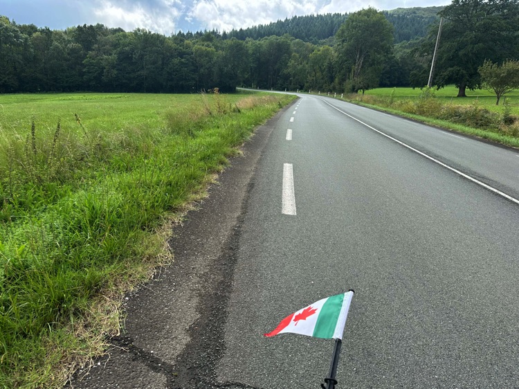
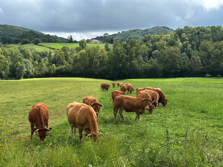
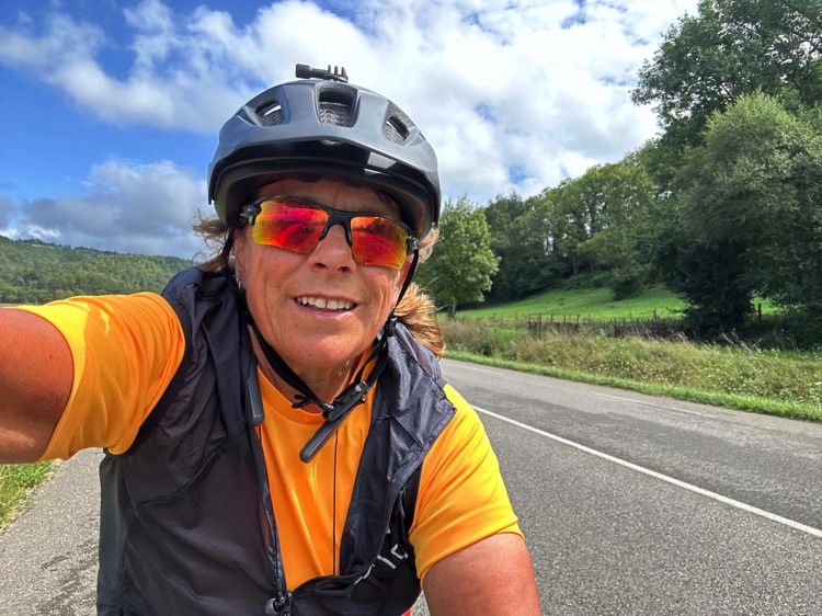
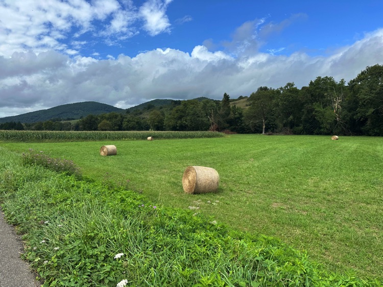
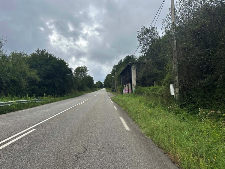
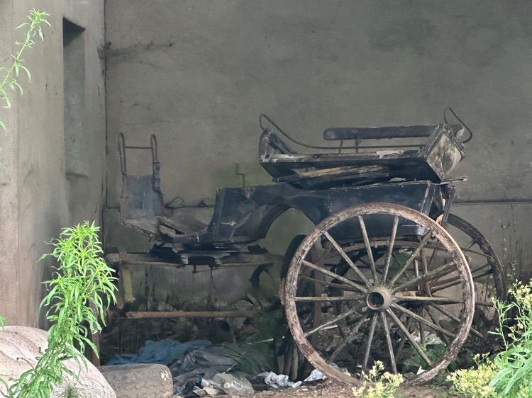
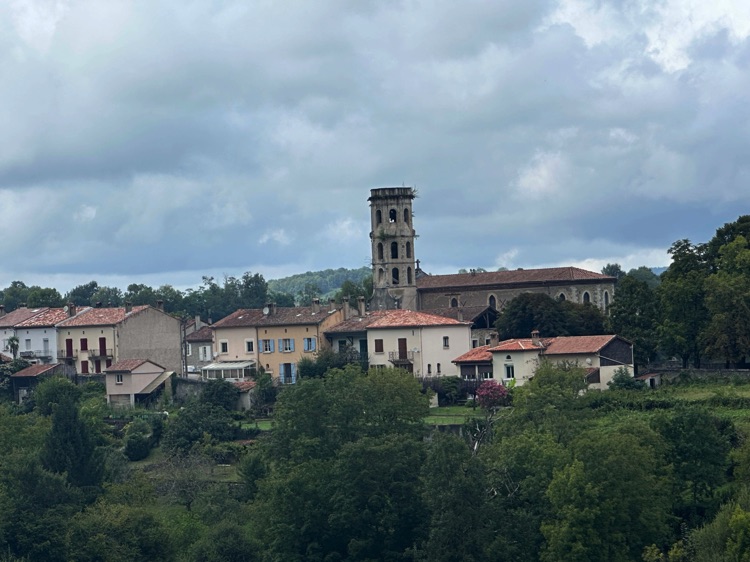
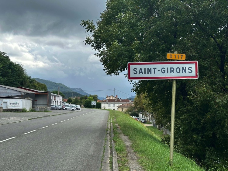
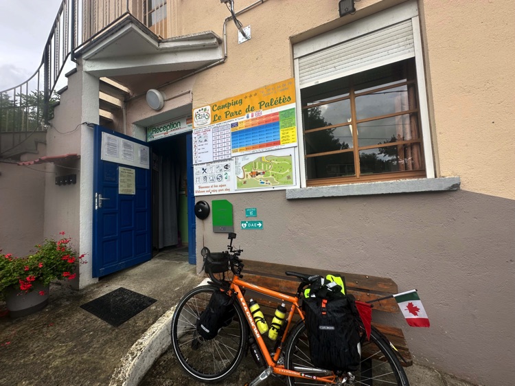
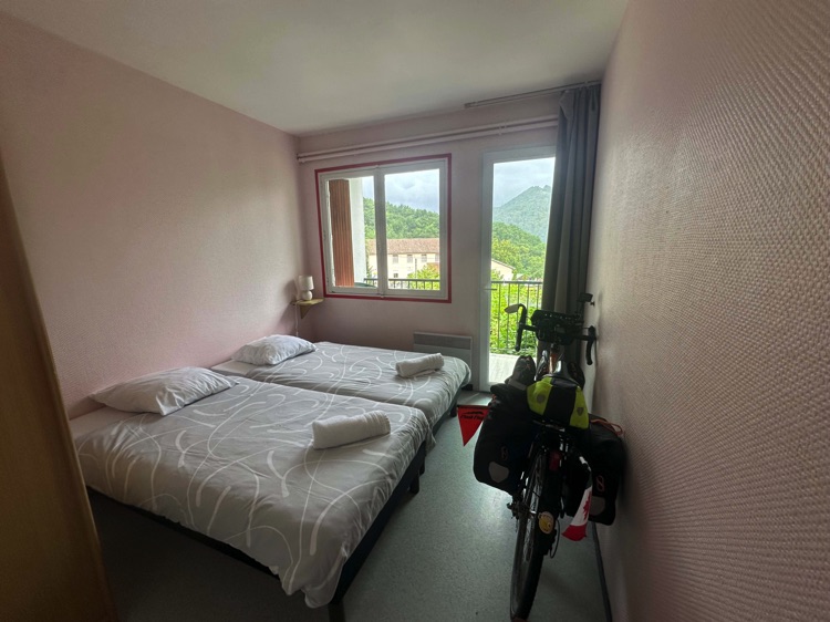
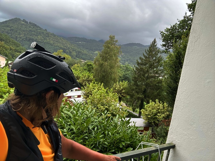
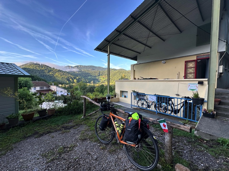
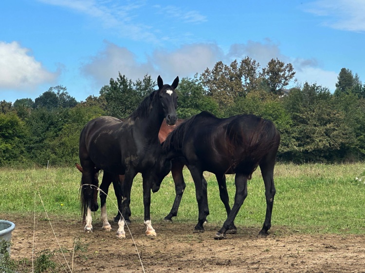
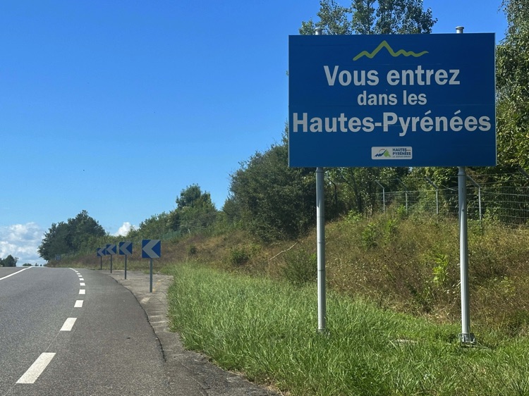
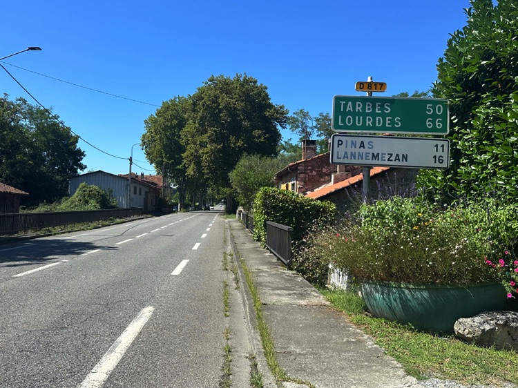
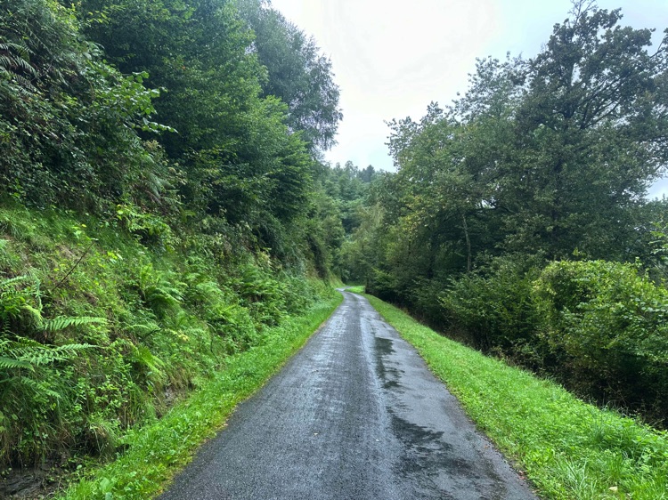
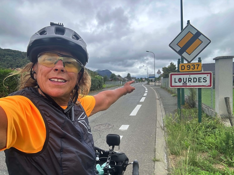
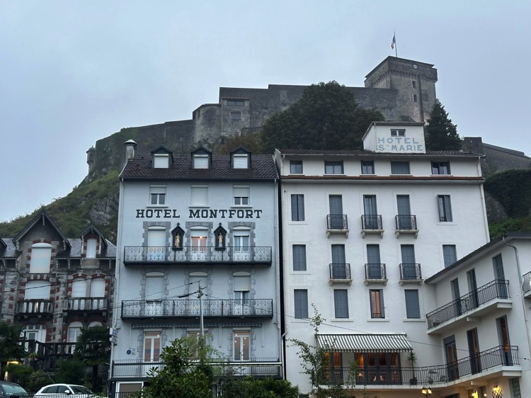
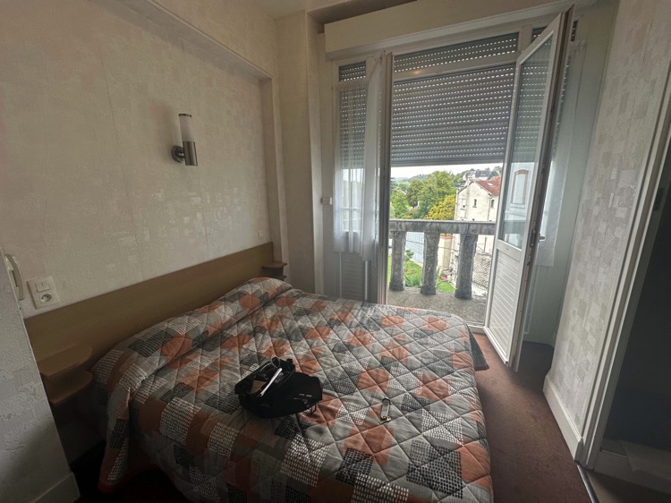
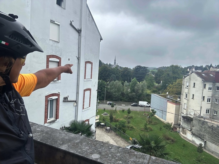
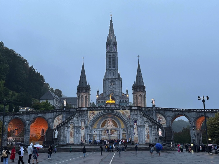
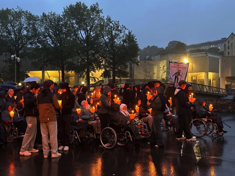
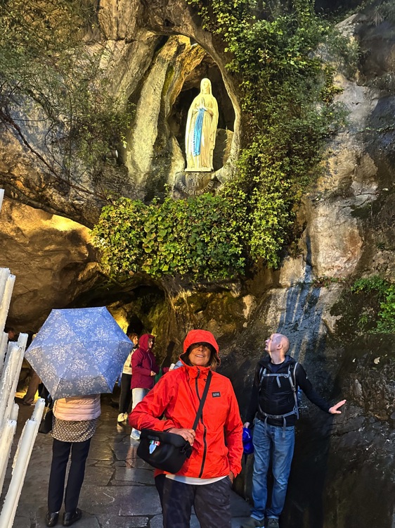
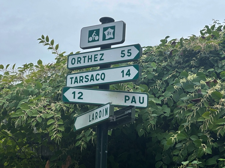
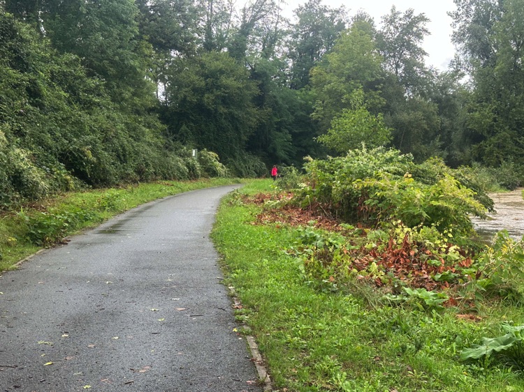
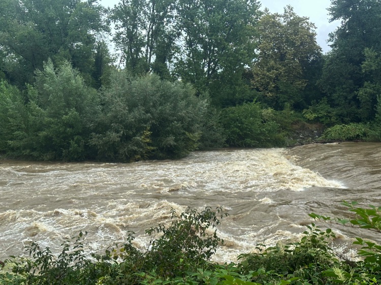
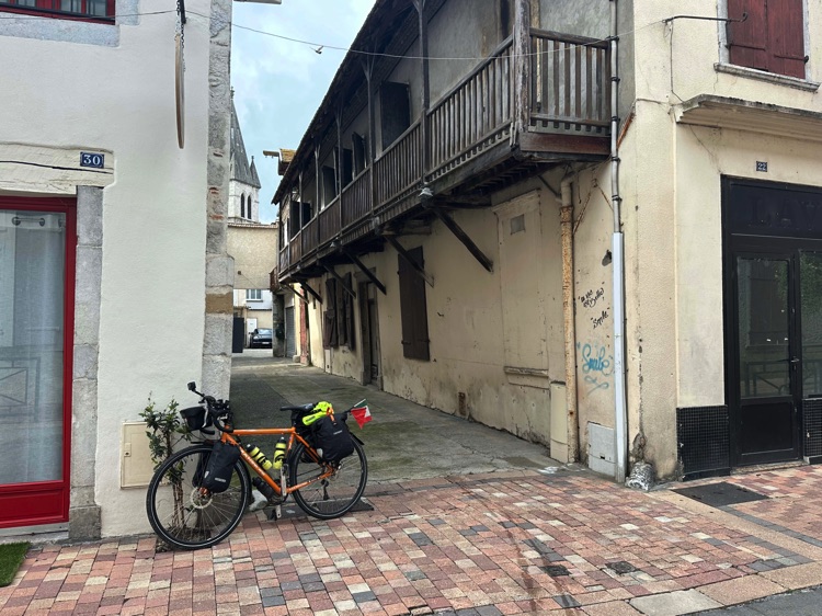
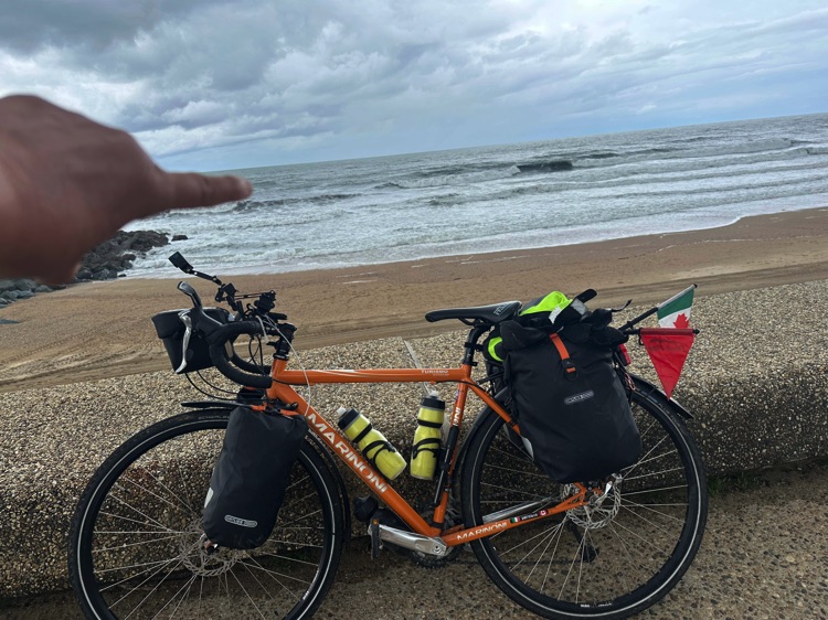
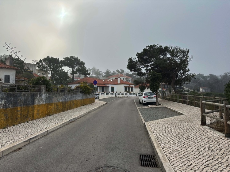
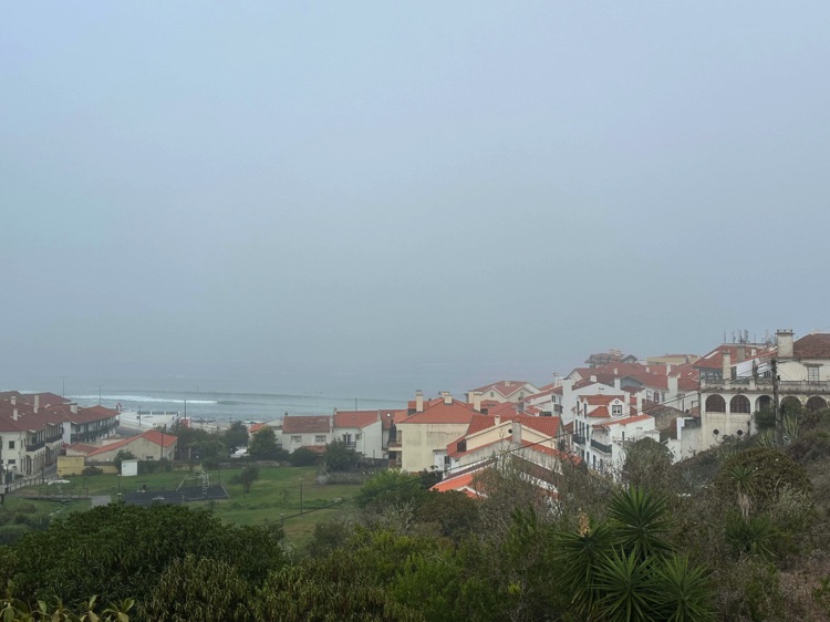
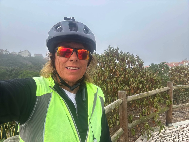
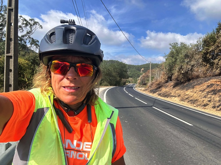
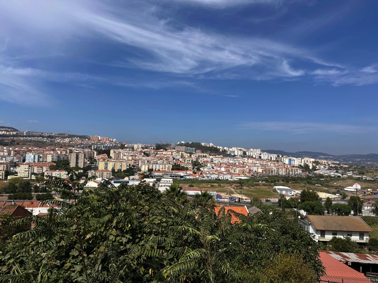
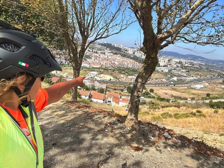
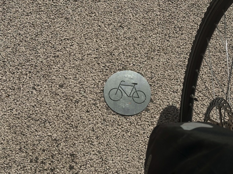
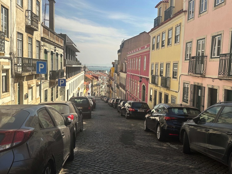
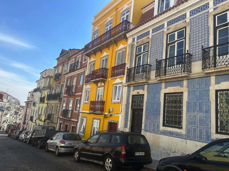
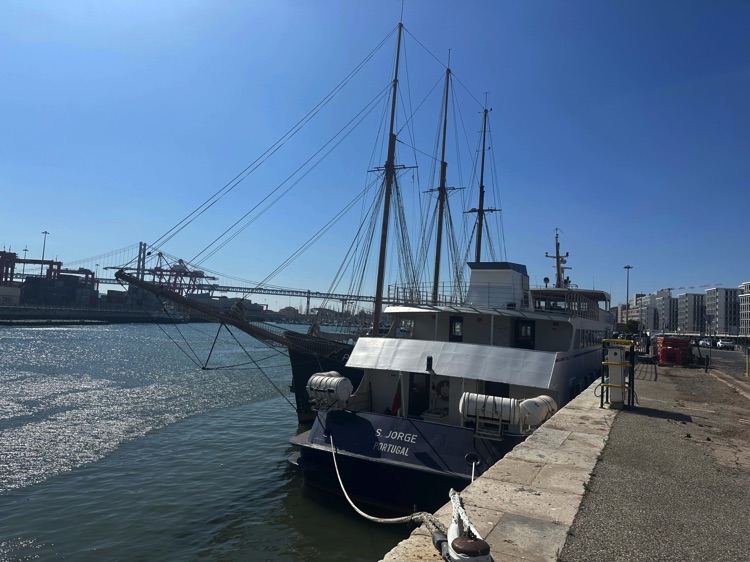
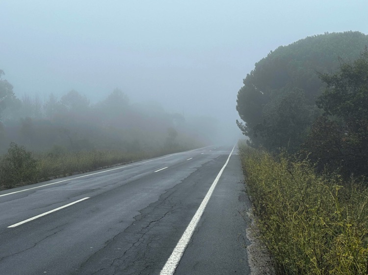
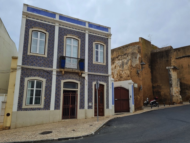
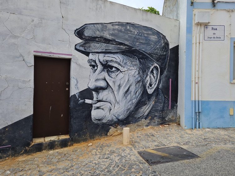
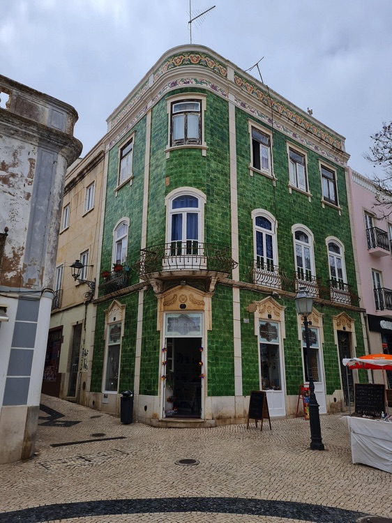
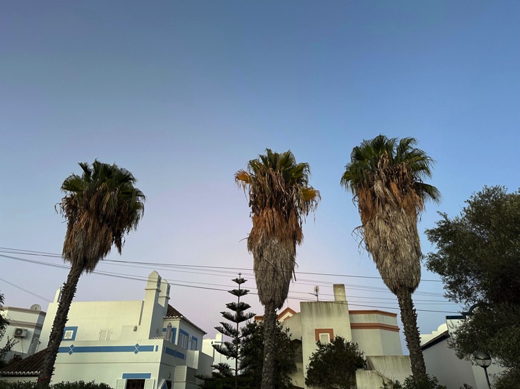
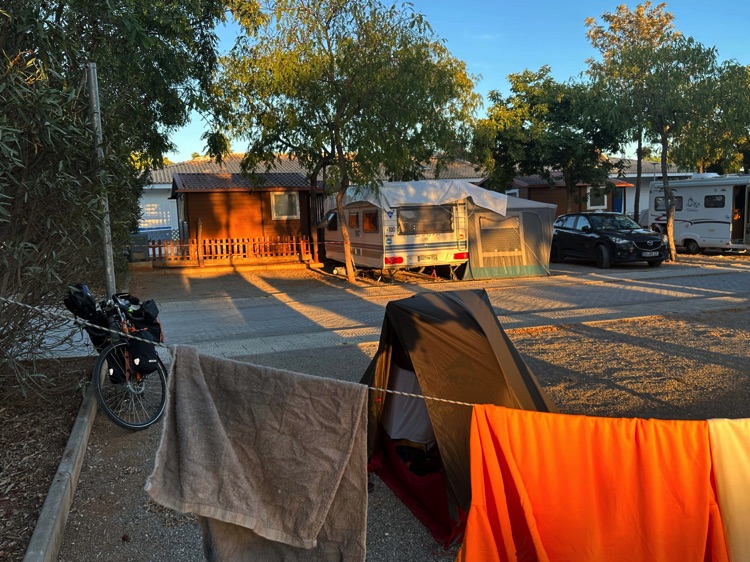
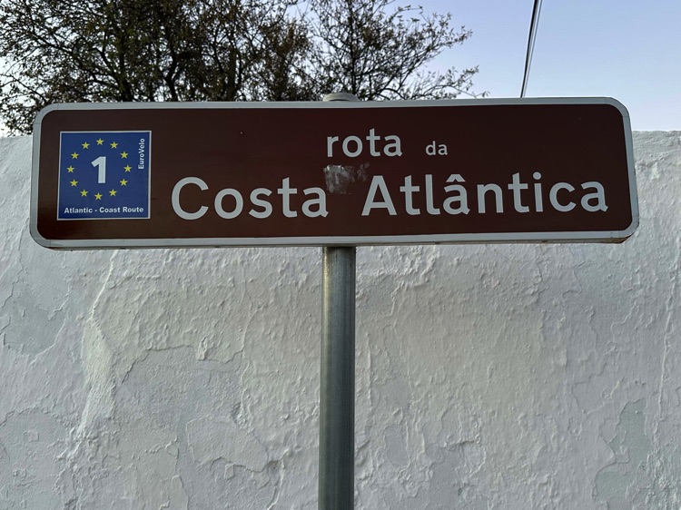
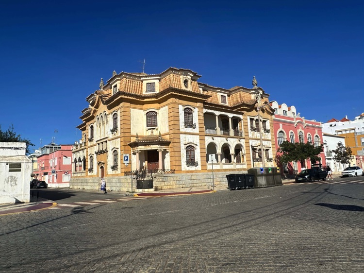
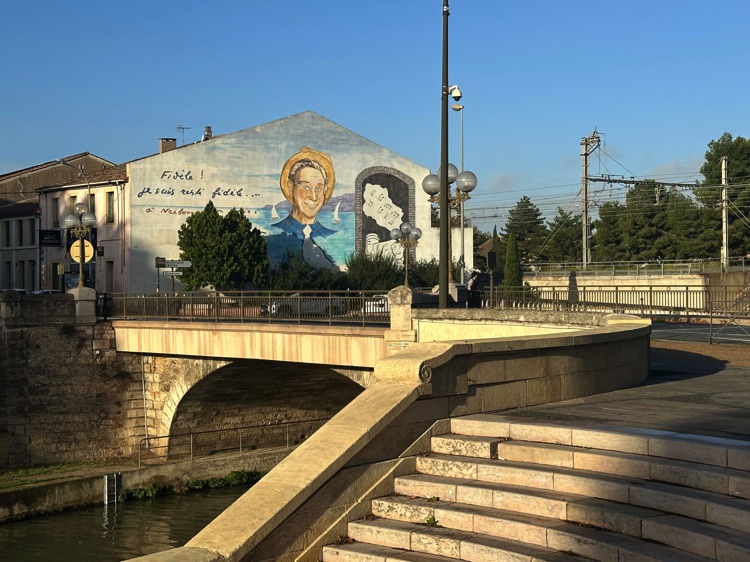
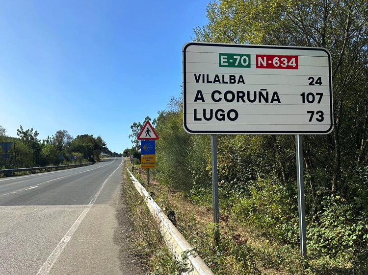
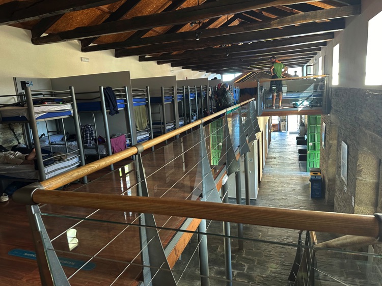
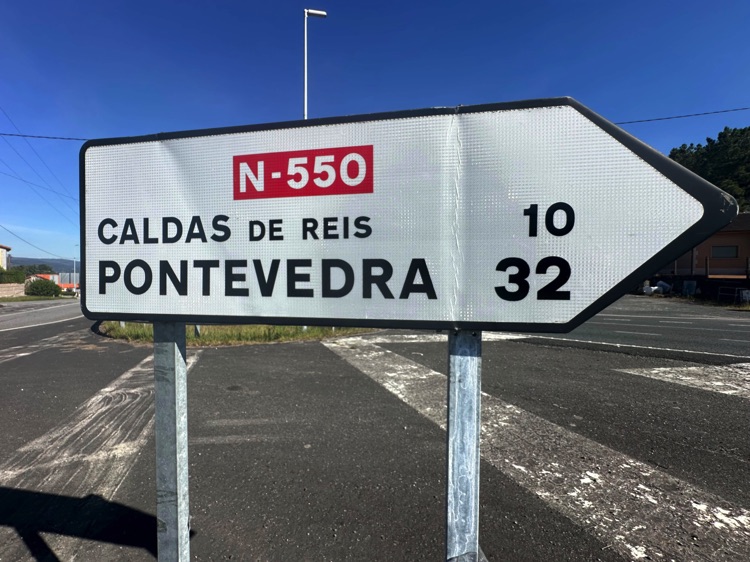
🇫🇷 Stage 3.2: Foix → Saint-Girons
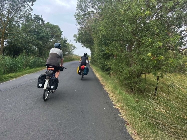
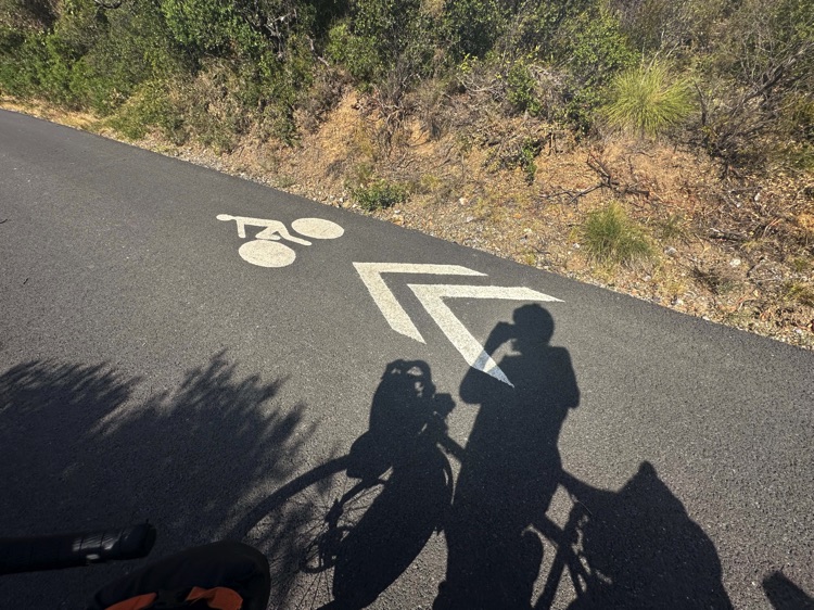
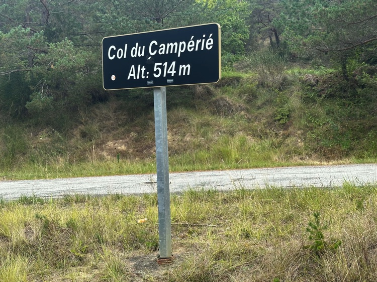
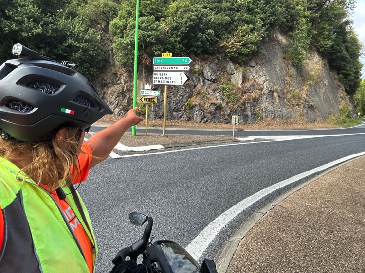
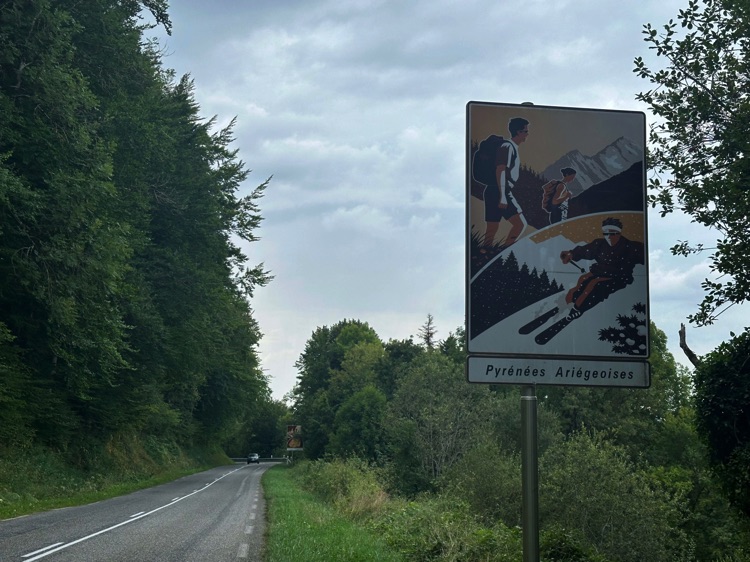
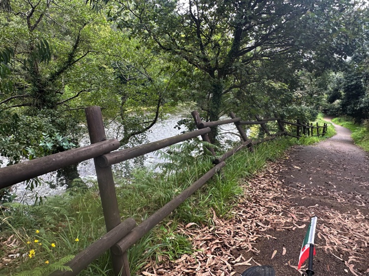
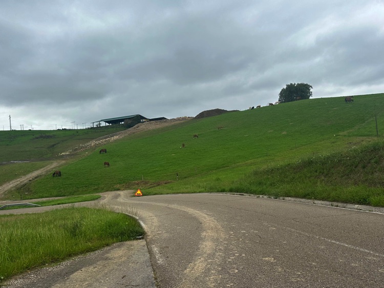
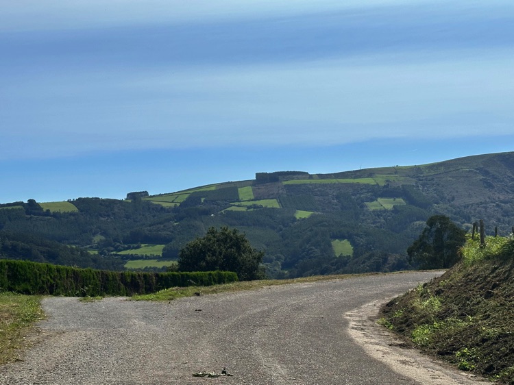
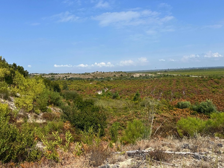
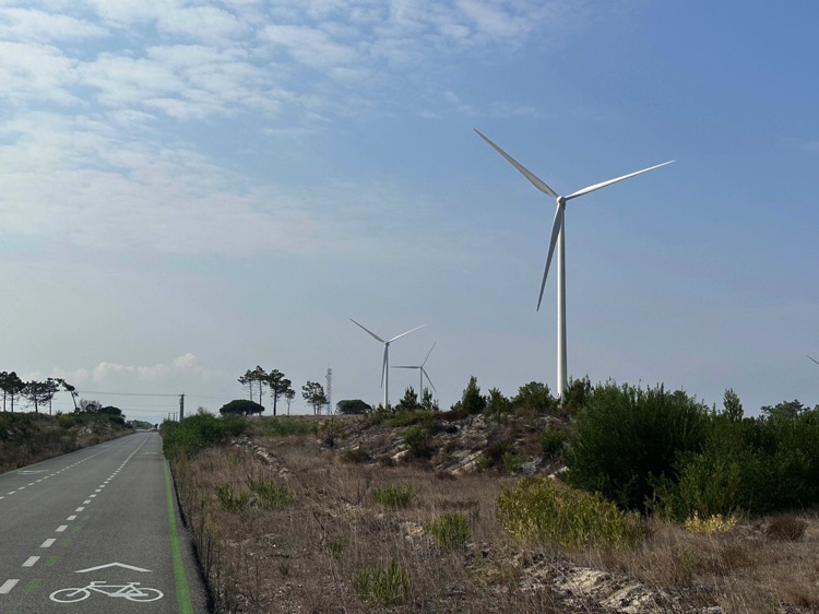
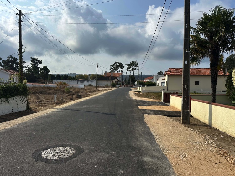
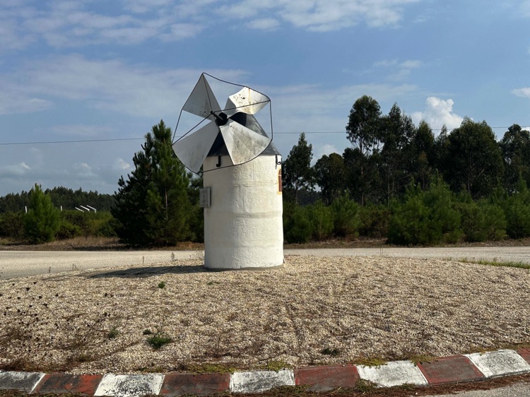
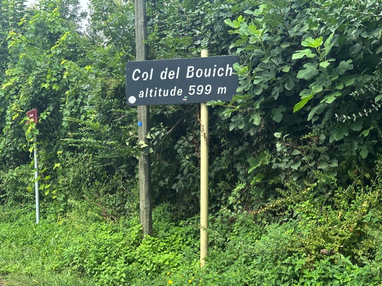
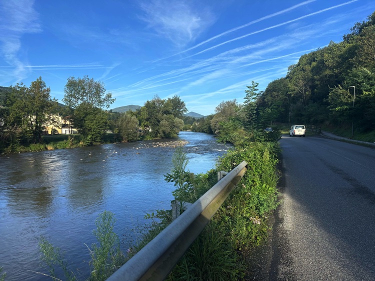
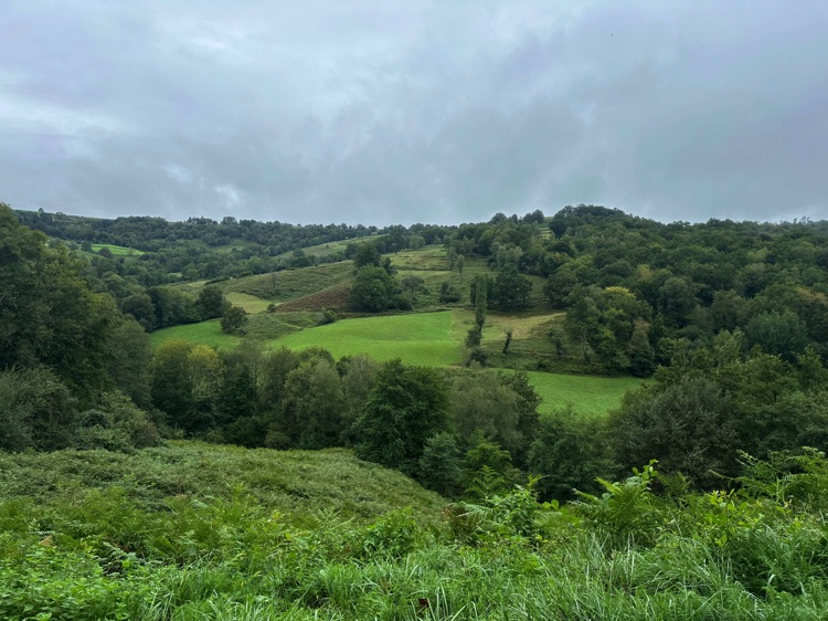
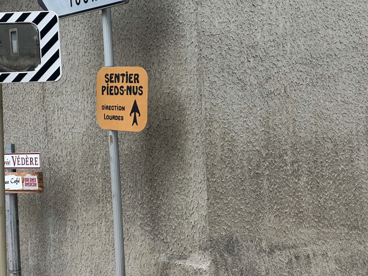
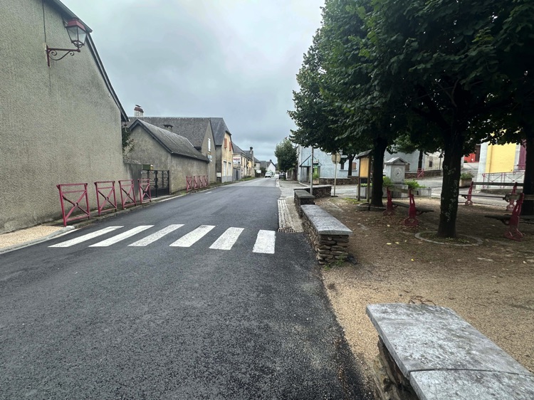
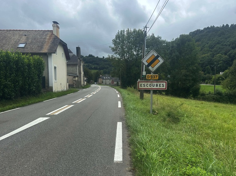
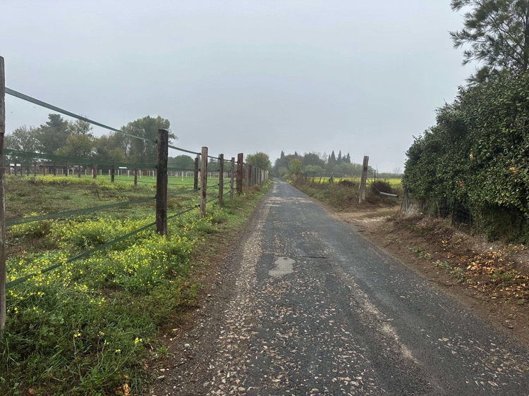
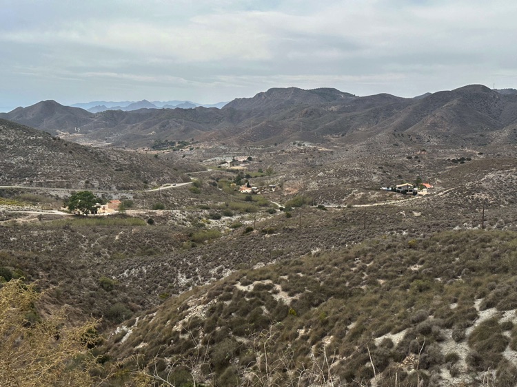
Leaving Foix behind, I started a gentle climb to Col del Bouich (599 m), through quiet forests and peaceful countryside. A modest but symbolic pass, marking entry into the heart of Ariège.
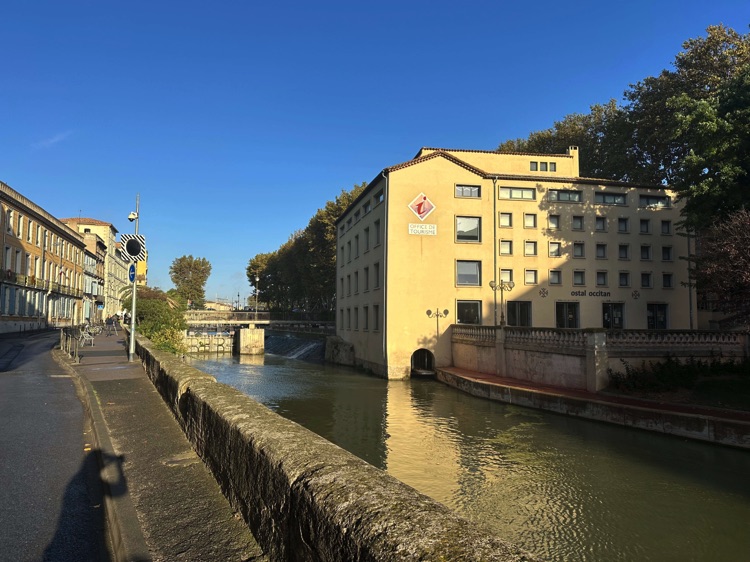
From the summit, the descent opened onto sunlit meadows, isolated farms, and wide slopes that naturally led to Saint-Girons, where the Salat, Lez, and Baup valleys meet. The town felt like a calm, welcoming oasis: stone bridges, quiet streets, and a slow-flowing river—a restorative pause after many kilometers of hills, gorges, and castles.
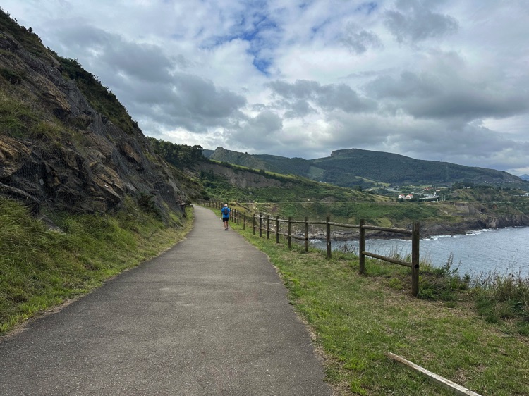
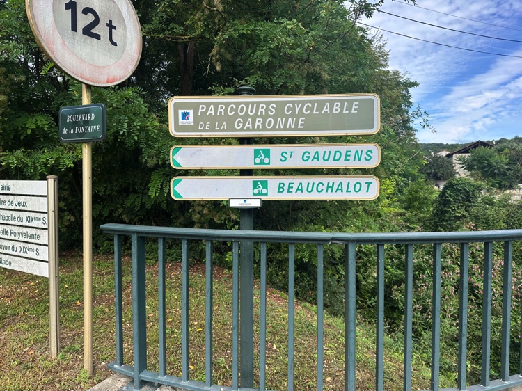
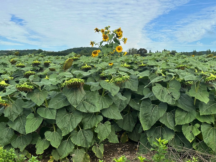
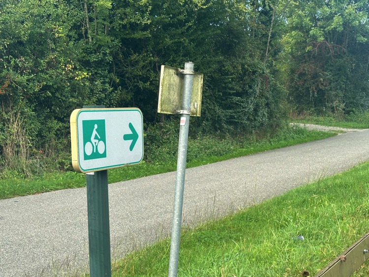
From Saint-Girons, the route followed French cycling paths Parcours Cyclable / Voie Verte des Gaves, weaving through small towns and quiet secondary roads. Here, cycling meant immersing in serene landscapes: green valleys, villages, and gently flowing rivers, each stretch offering a calm, steady rhythm to soak in the authentic atmosphere of the central Pyrenees.
The Adventure Begins 🚴♂️🌍
Pedaling through mountains, seas, and endless horizons.
Don’t feel like reading the blog or watching the GoPro footage?
Click on the images to relive the most beautiful moments of the journey! 📸
🇮🇹 ➡️ 🇫🇷Stage 2 – From Ventimiglia, Italian Riviera, to the French Mediterranean Coast: Ventimiglia → Le Barcarès, Pyrénées-Orientales (Occitanie, France)
Overview
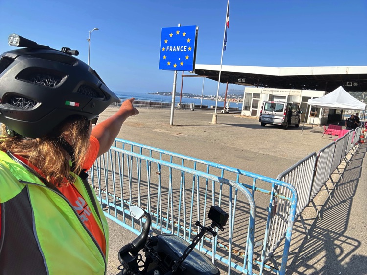
I leave Ventimiglia and, almost without noticing, I cross into France. The border passes quietly, while ahead opens the intense light of the Côte d’Azur.
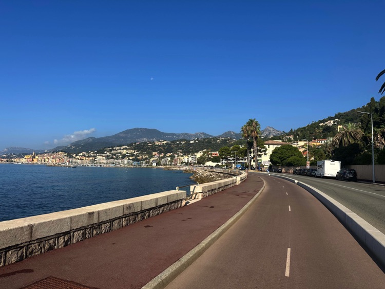
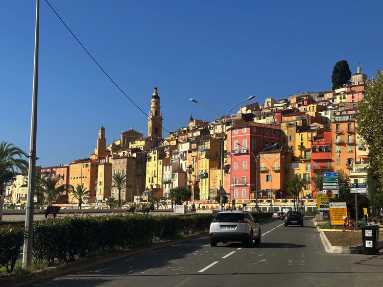
In Menton, the “Pearl of France,” colors ignite: pastel facades, turquoise sea, and the scent of the Mediterranean. The road climbs and then descends, suspended between cliffs and sparkling waters, with the Alpes-Maritimes as a dramatic backdrop.
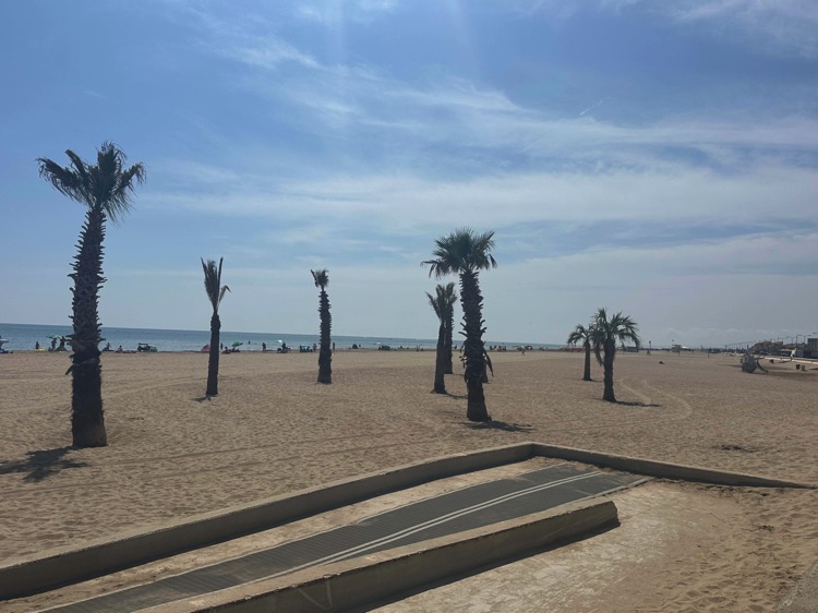
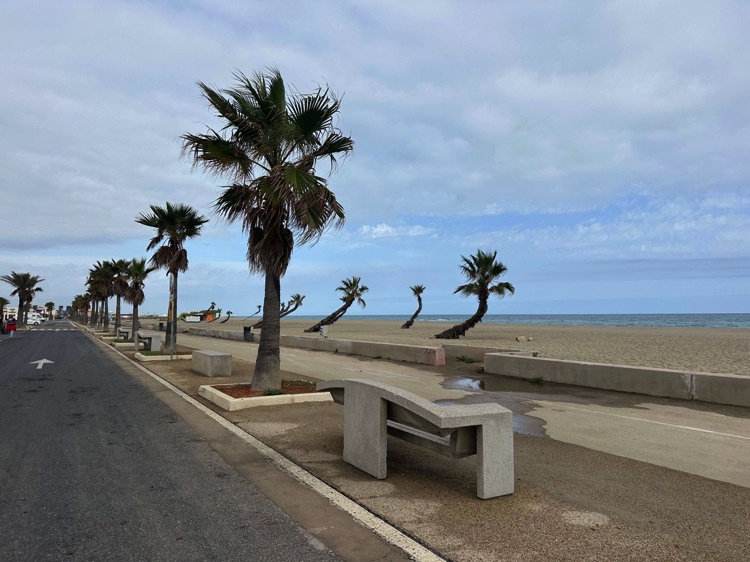
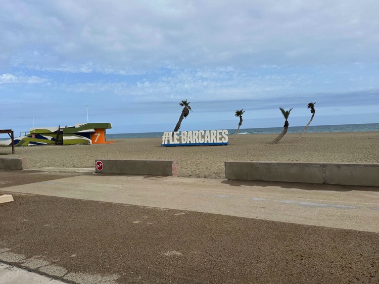
I pedal past elegant villages and wild stretches, following the southern coast of France: lagoon shores, salt flats, and wide sea horizons. From the sea at Sète to Le Barcarès, a Mediterranean village in the Pyrénées-Orientales, Occitanie, every kilometer offers breathtaking views and intense light.
📌 Discover the full stage: route details and GoPro footage on the blog.
🇮🇹 ➡️ 🇫🇷 Sub-stage 2.1: Ventimiglia → Cannes
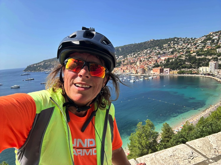
Crossing the Italy–France border at Ventimiglia, the legendary Côte d’Azur unfolds, with turquoise waters, sunlit cliffs, and charming villages framed by the Alpes-Maritimes.
The first stop is Menton, the “Pearl of France,” then along the Basse Corniche towards Nice, between sparkling sea, vineyards, and valleys.
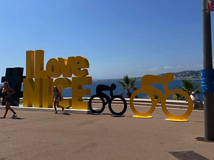
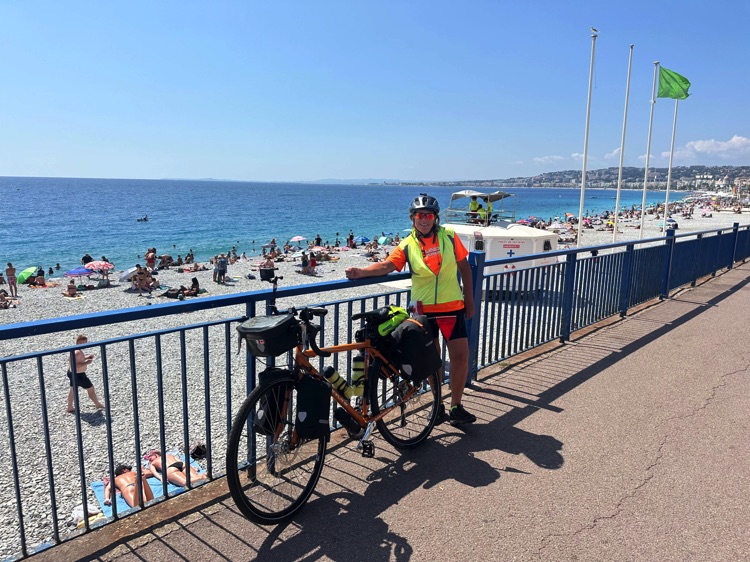
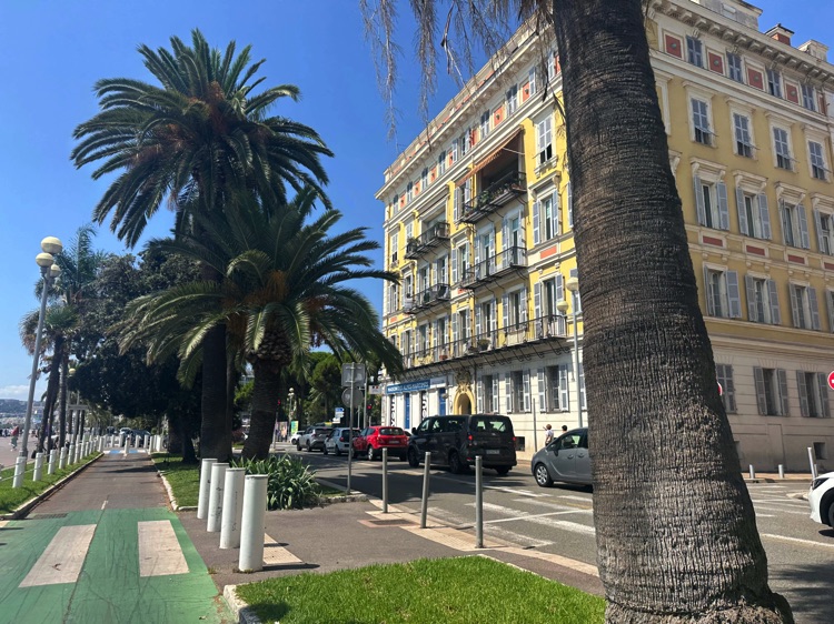
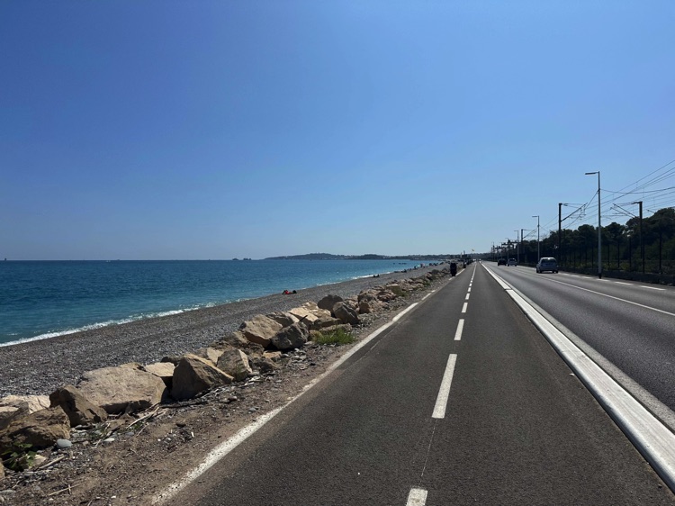
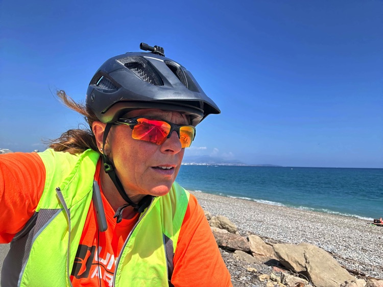
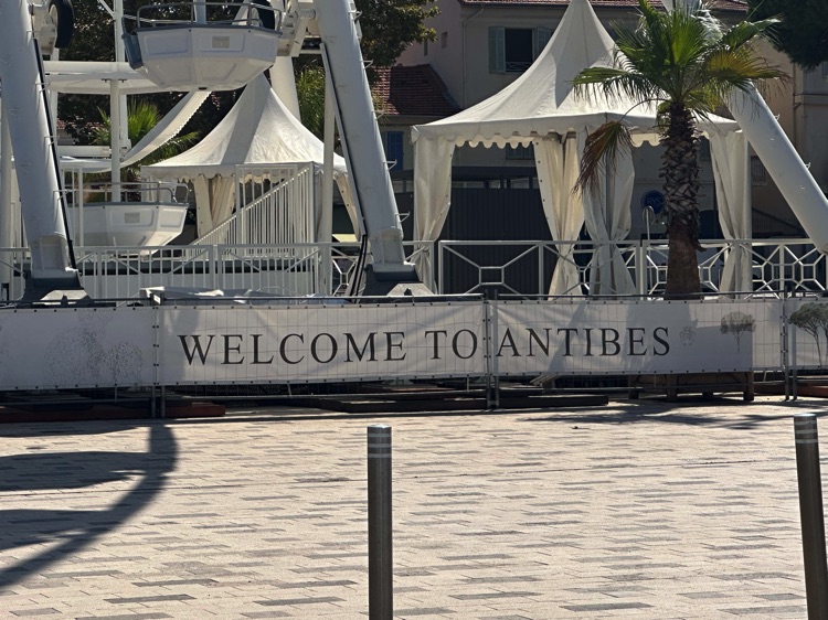
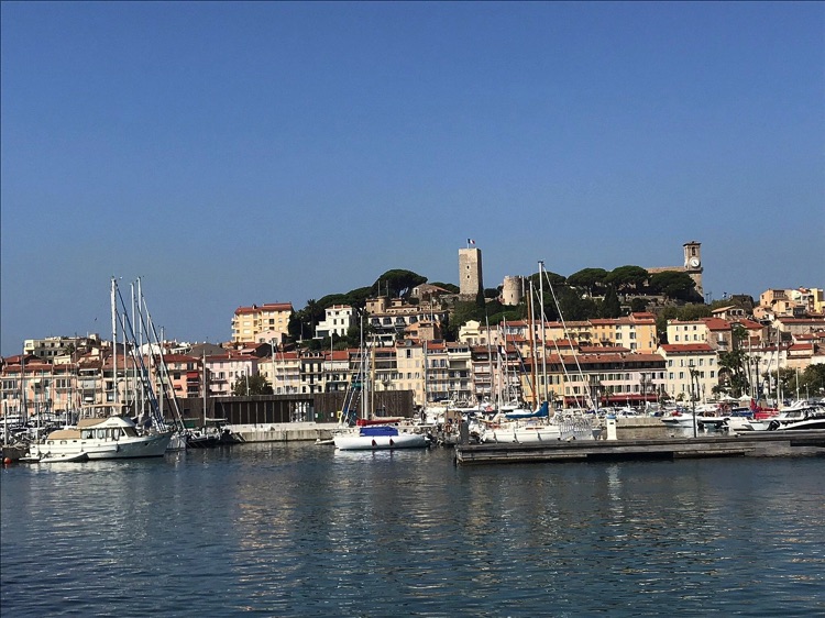
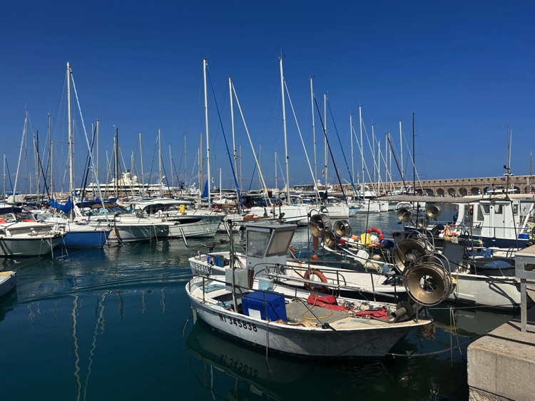
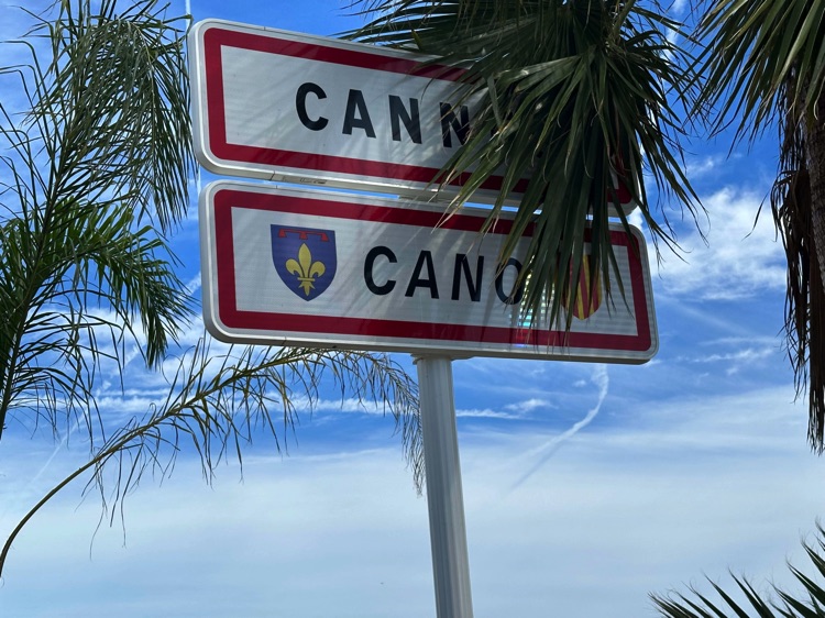
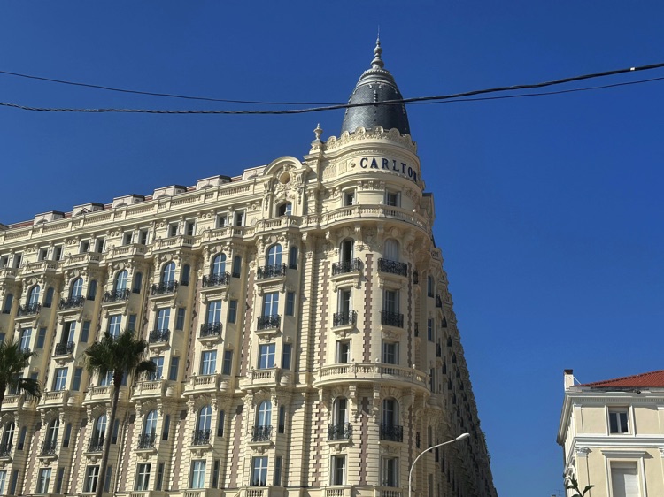
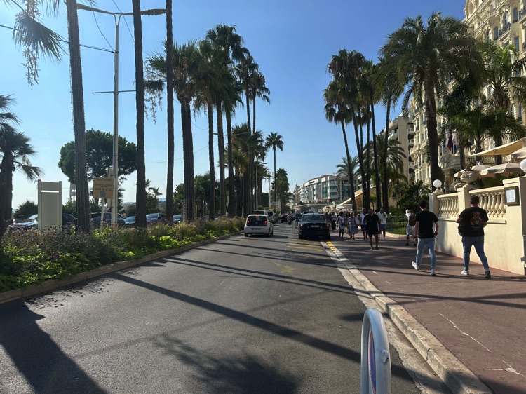
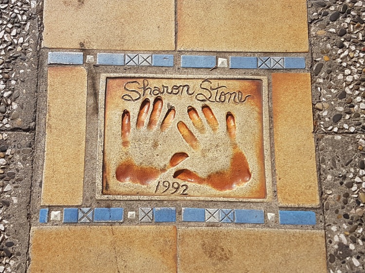
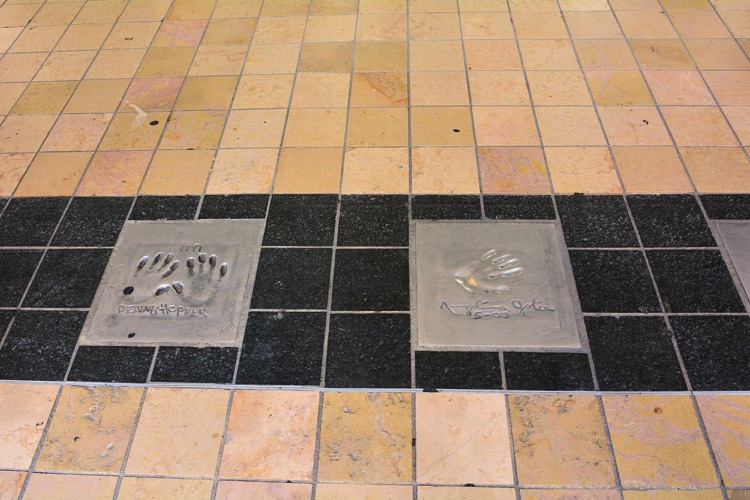
The route continues through Monte Carlo, the Promenade des Anglais in Nice, and coastal towns like Antibes, Juan-les-Pins, and Golfe-Juan, arriving at Cannes, with its elegant Croisette and the Palais des Festivals (home of the famous Cannes Film Festival), a symbol of Mediterranean cinema.
🇮🇹 ➡️ 🇫🇷 Stage 2.2 – From Cannes to Toulon
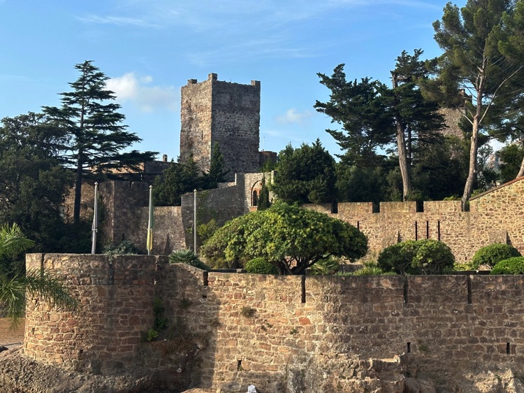
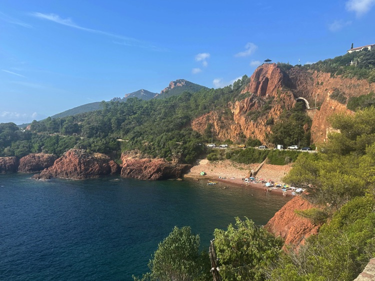
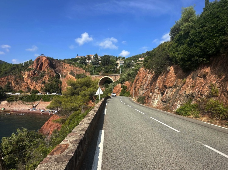
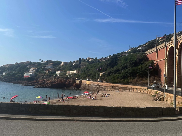
Just after Cannes, the coast opens up, with sparkling sea and panoramic views of the French Riviera. The road leads to Mandelieu-La Napoule, where the picturesque Château de la Napoule overlooks the Mediterranean, offering a first taste of the spectacular Corniche de l’Estérel, with crimson cliffs plunging into the deep blue sea.
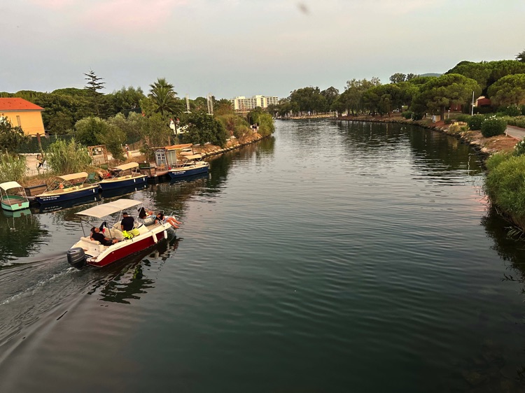
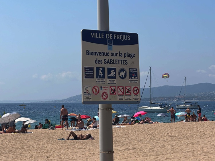
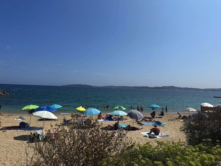
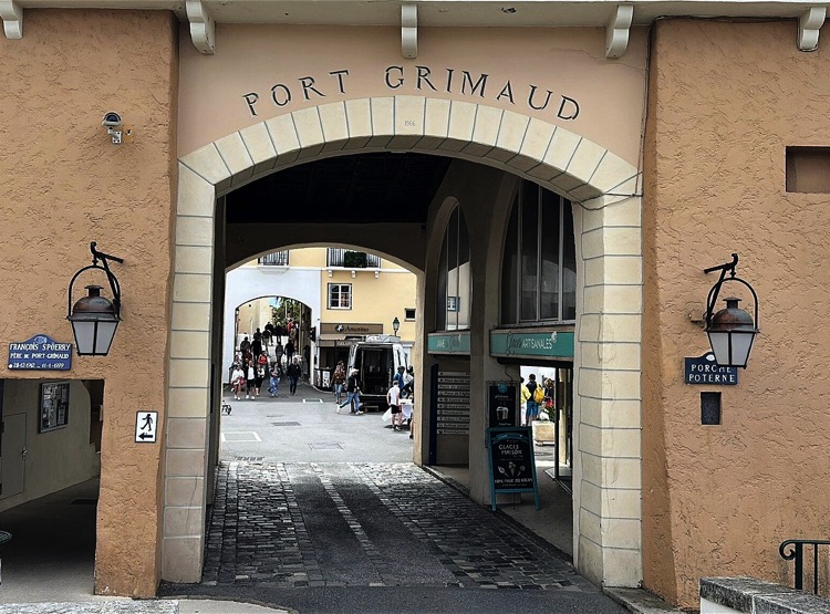
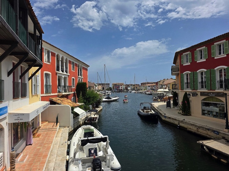
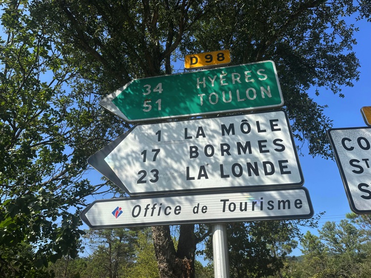
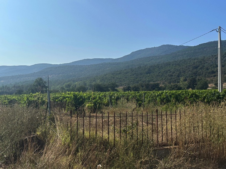
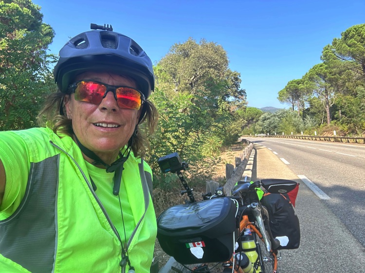
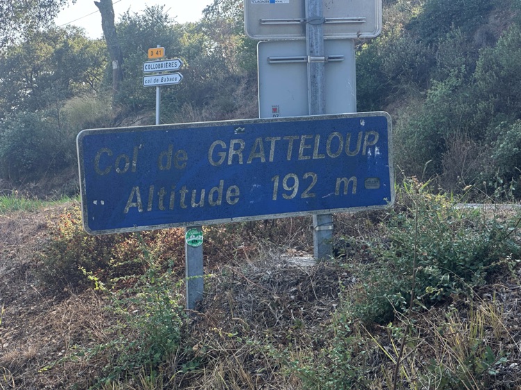
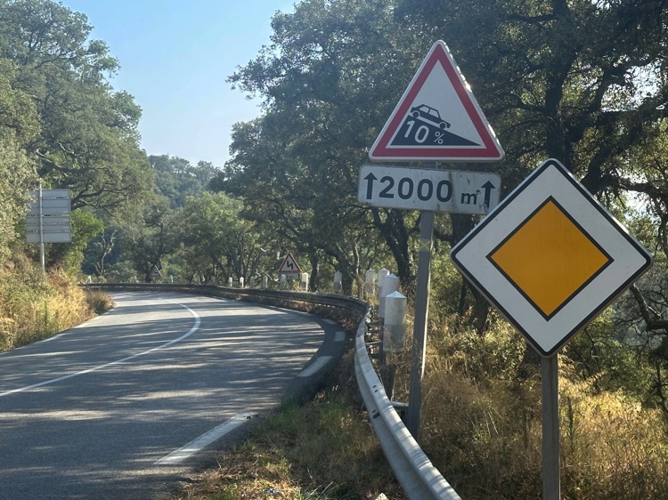
The route passes through charming towns like Fréjus, Sainte-Maxime, and Port Grimaud, the “Venice of the French Riviera,” with its canals and pastel-colored houses. To avoid the traffic of Saint-Tropez, the path ventures inland through rolling hills and vineyards, climbing the Col de Gratteloup (192 m).
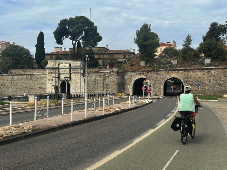
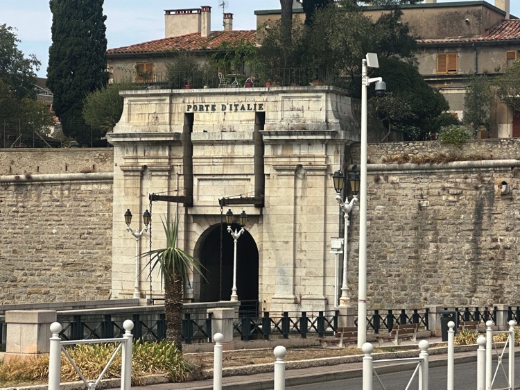
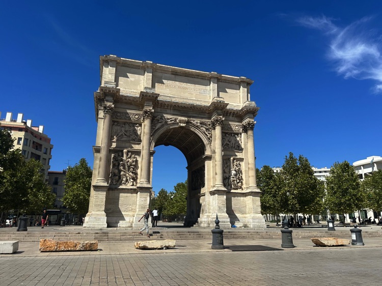
The panoramic descent finally brings you to Toulon, a bustling port city with a lively harbor and the historic Porte d’Italie, where the stage ends amid sea, history, and breathtaking Mediterranean landscapes.
🇫🇷 Stage 2.3 – From Toulon to Marseille, ending in Martigues
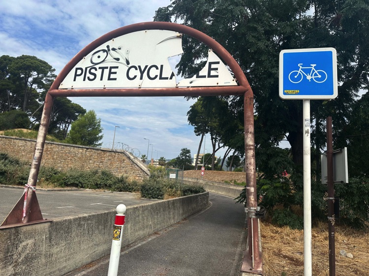
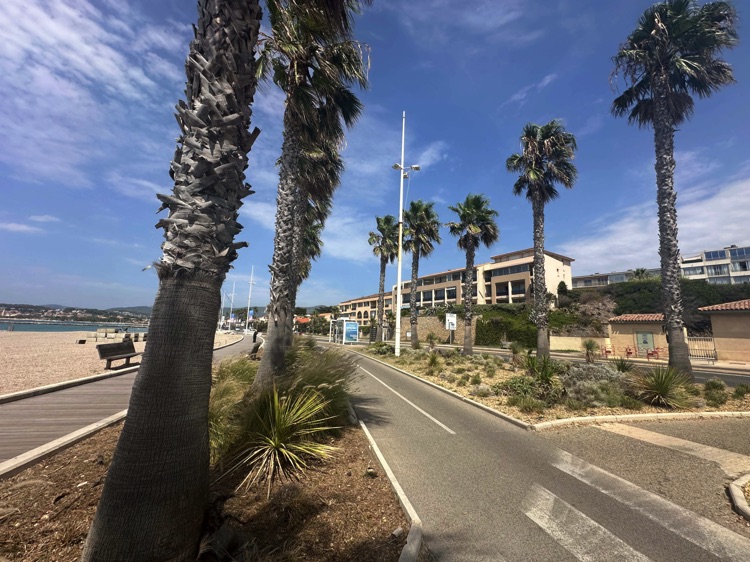
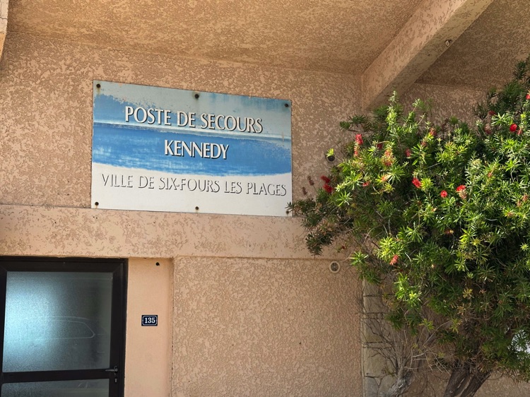
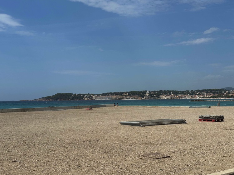
Leaving Toulon, I followed the bike path along the beaches of Six-Fours-les-Plages, with the sea breeze and wide views of the Mediterranean making the ride relaxed and enjoyable.
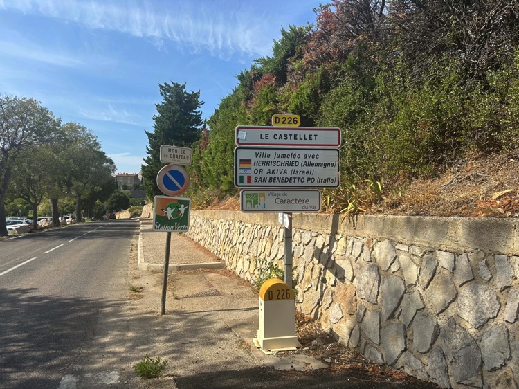
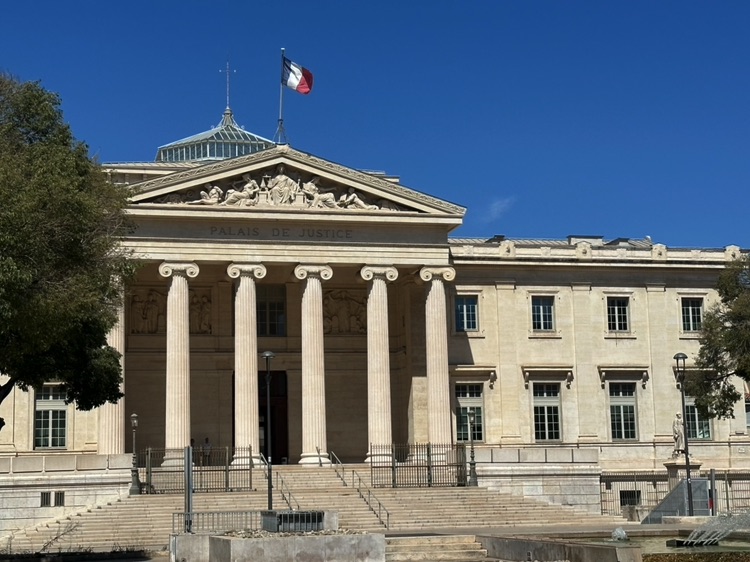
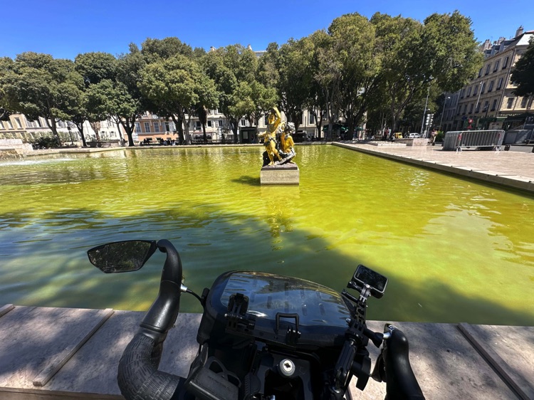
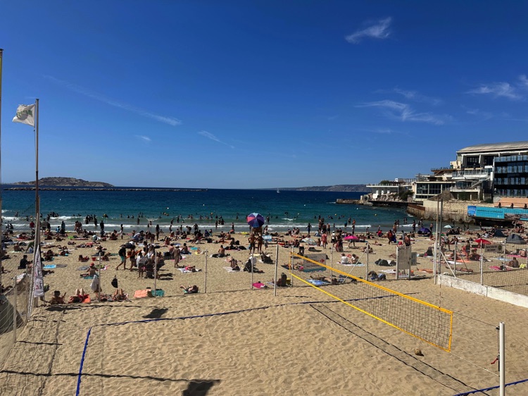
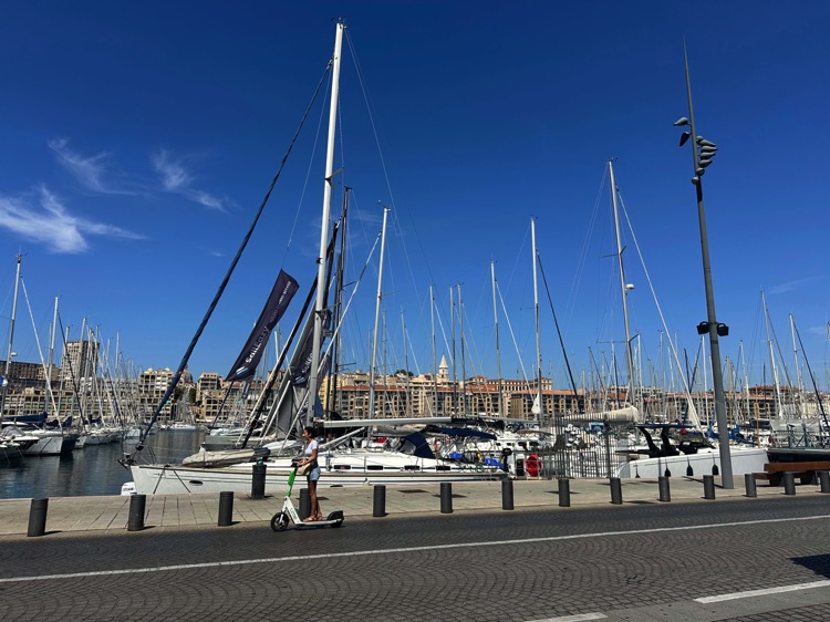
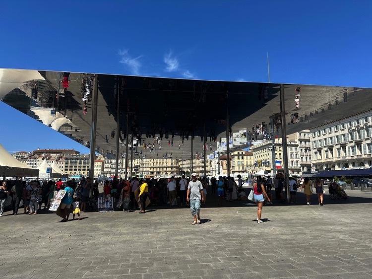
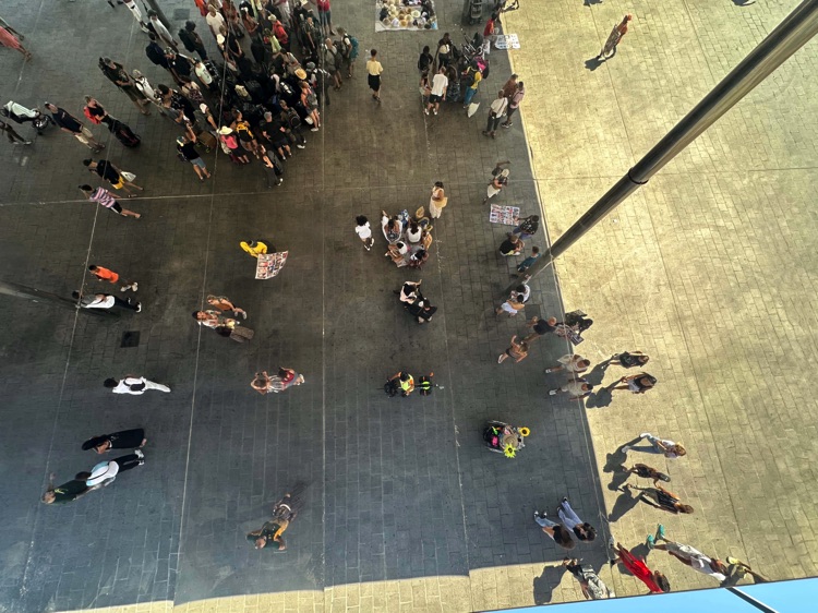
The road gently climbed into the inland hills, passing through vineyards, fields, and small rural villages, towards a quieter side of Provence. Towns like Bandol and Le Castellet accompanied the journey until Marseille, the oldest city in France. In the Vieux-Port, Norman Foster’s reflective canopy, L’Ombrière, mirrored the sky, boats, and people, creating a striking play of light.
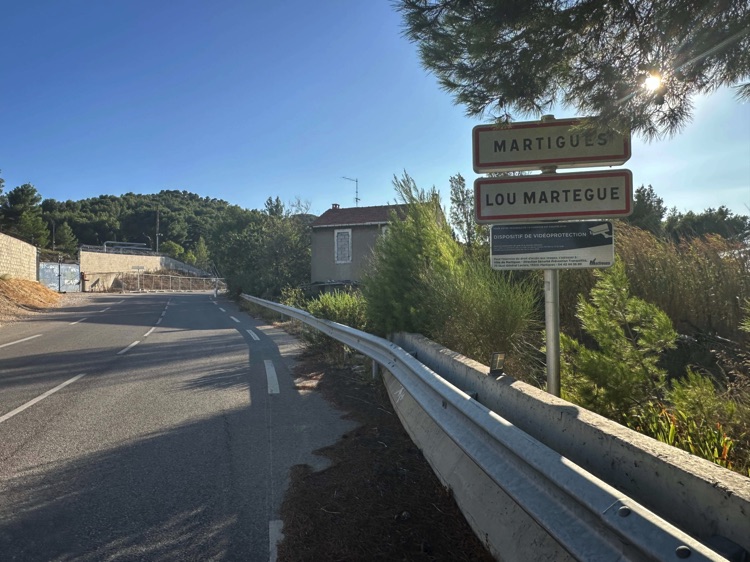
Continuing west, I reached Martigues, often called the “Venice of Provence.” Canals, bridges, colorful houses, and boats moored along the water offered a peaceful and intimate atmosphere, the perfect way to end the stage.
🇫🇷 Stage 2.4 – Martigues → Camargue → Sète
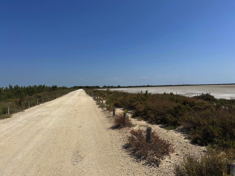
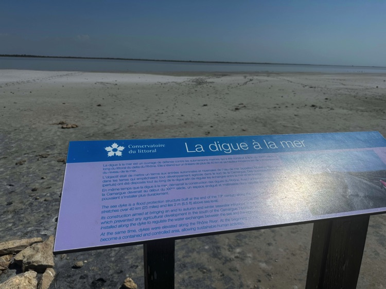
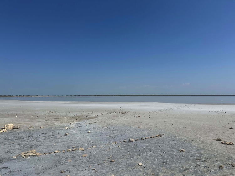
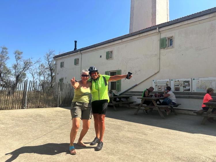
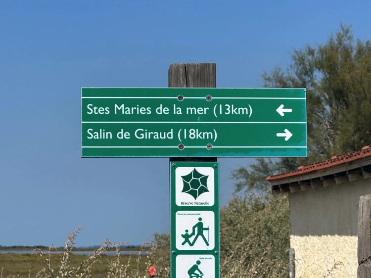
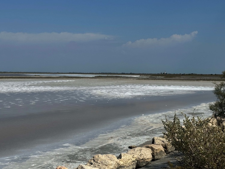
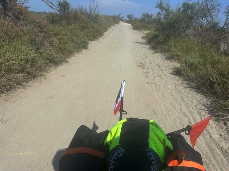
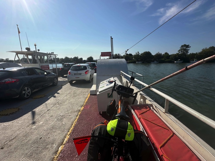
From Martigues, I crossed the Grand Rhône by a small ferry, entering the heart of the Camargue, a wild land of marshes and salt flats. I pedaled through open, quiet landscapes, passing Les Saintes-Maries-de-la-Mer and along the Digue à la Mer, where wind and water dominate the horizon.
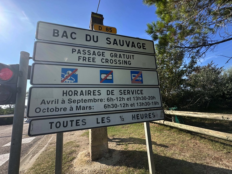
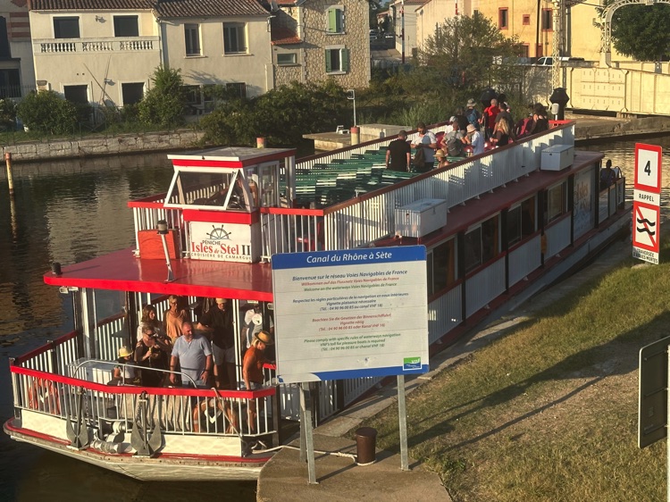
After crossing the Petit Rhône via the Bac du Sauvage, I finally reached Sète, a town between sea and lagoon, famous for its canals and maritime atmosphere.
🇫🇷 Stage 2.5 – From Sète to Le Barcarès
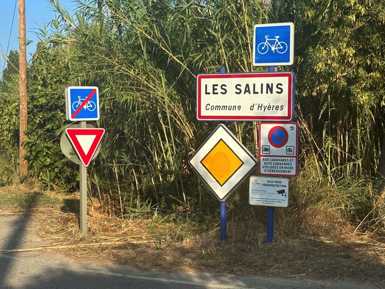
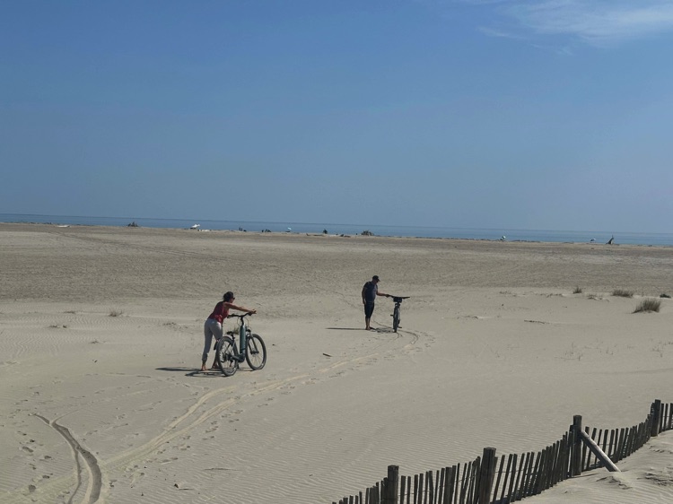
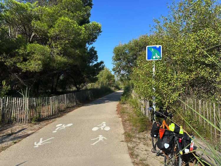
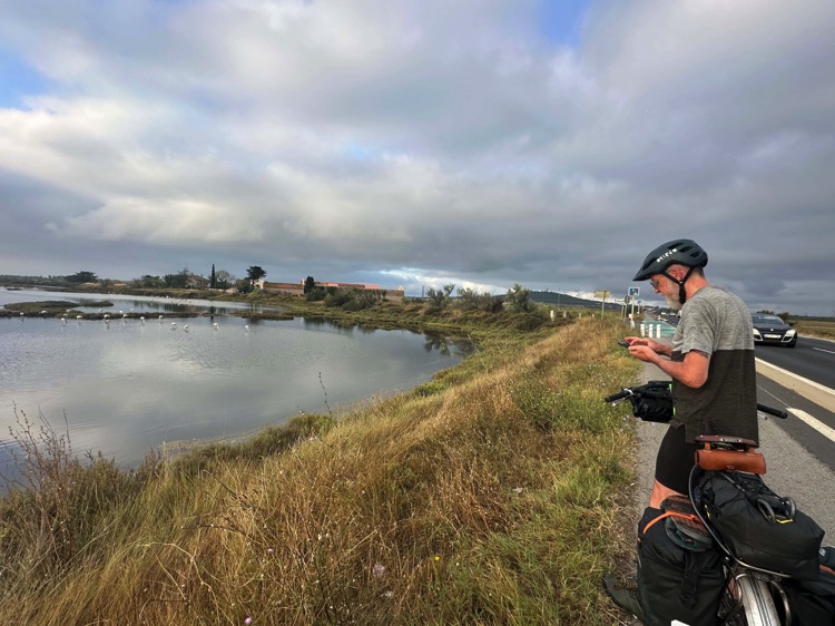
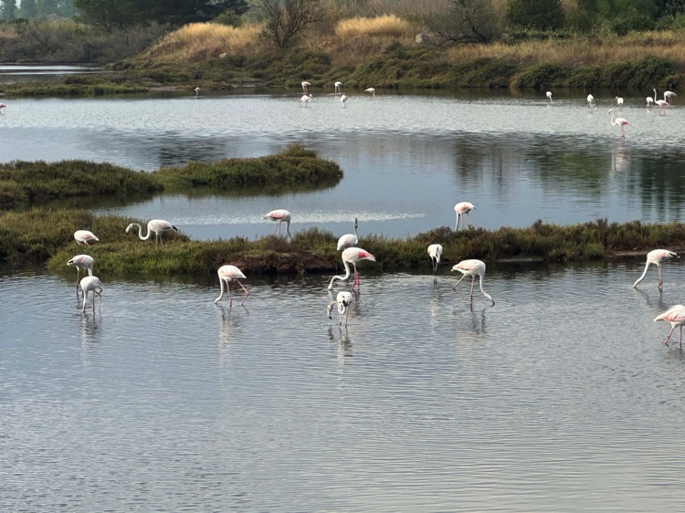
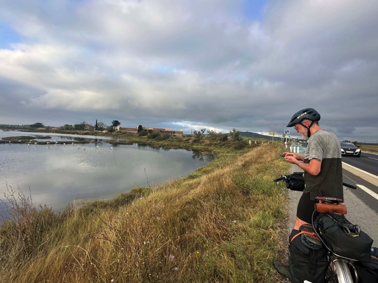
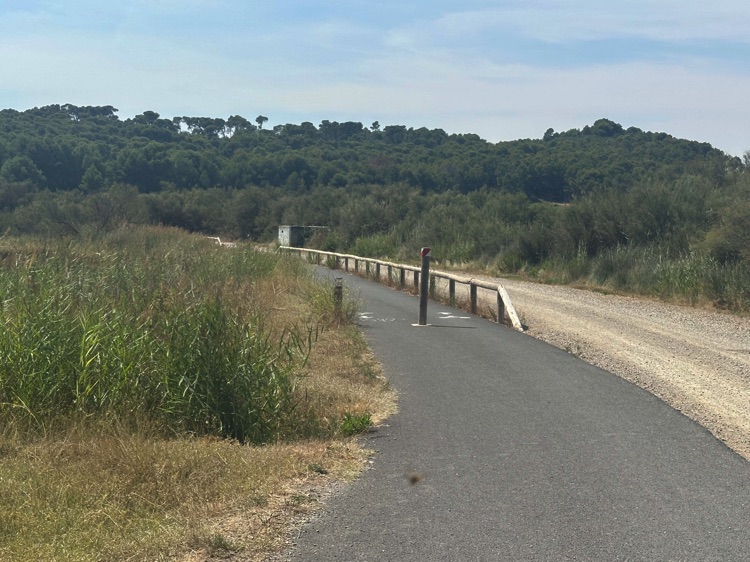
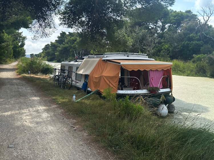
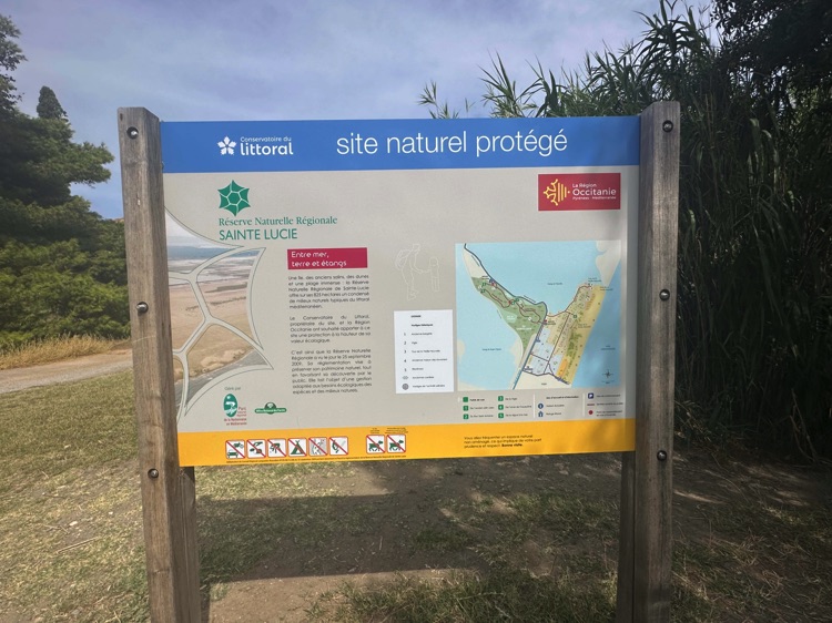
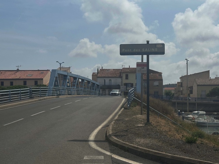
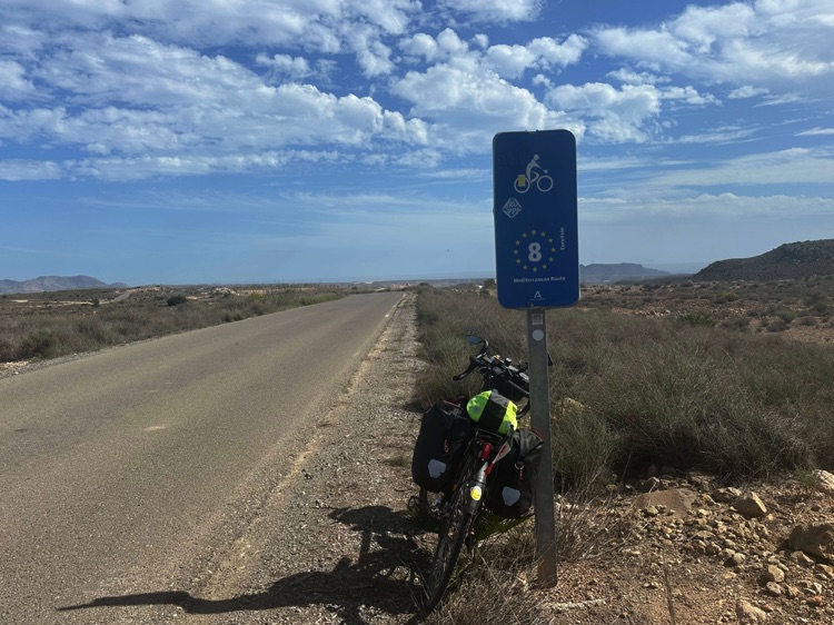
From Sète, following the EuroVelo 8 – Mediterranean Route, I pedaled along beaches and lagoons, passing through Sérignan, the Pont des Salins, and the Site Naturel Protégé de Sainte-Lucie, surrounded by sea, lagoons, and canals.
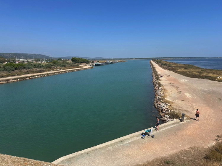
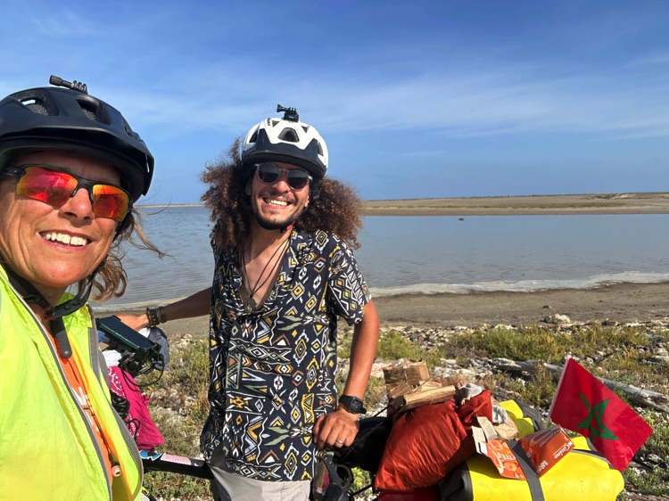
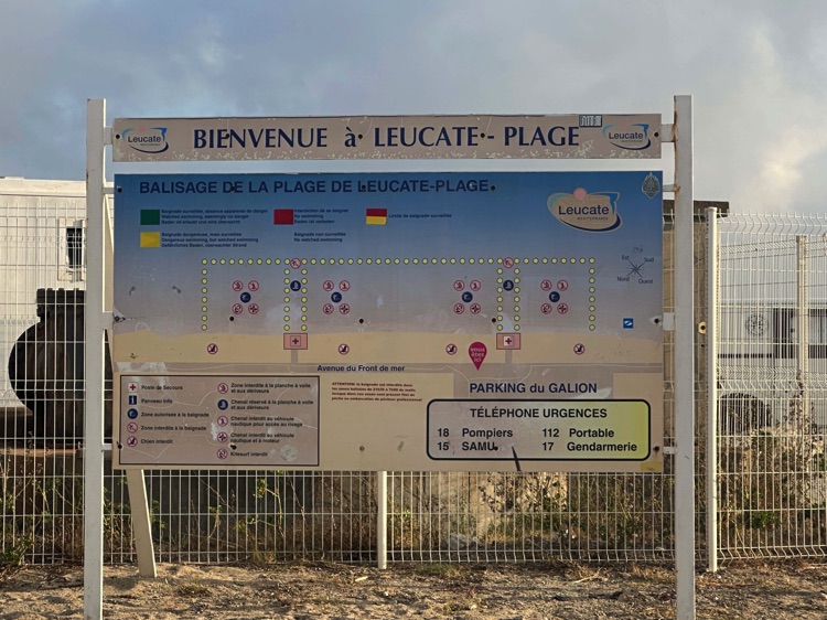
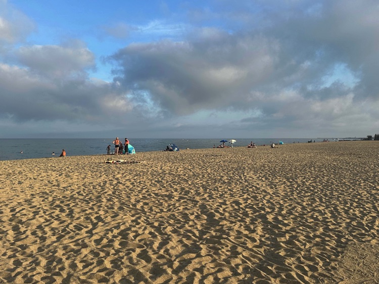
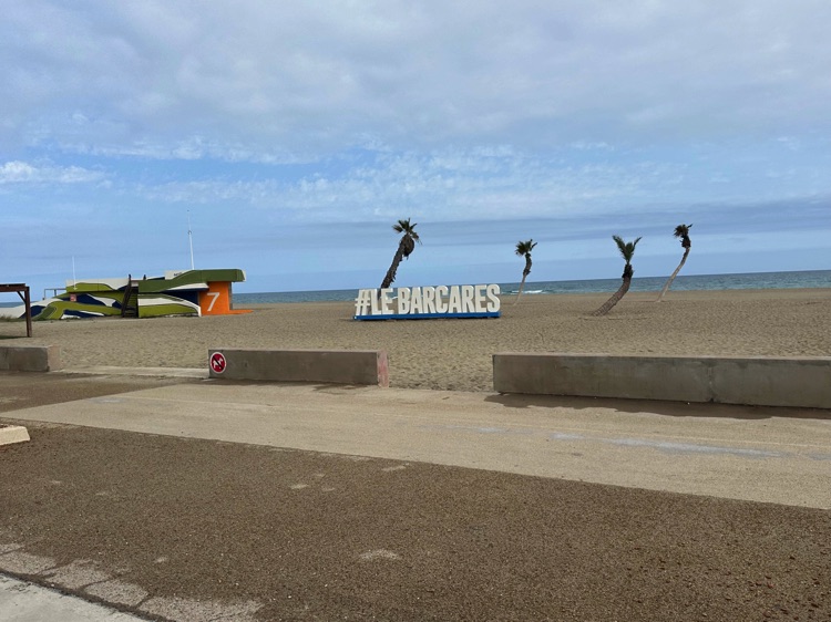
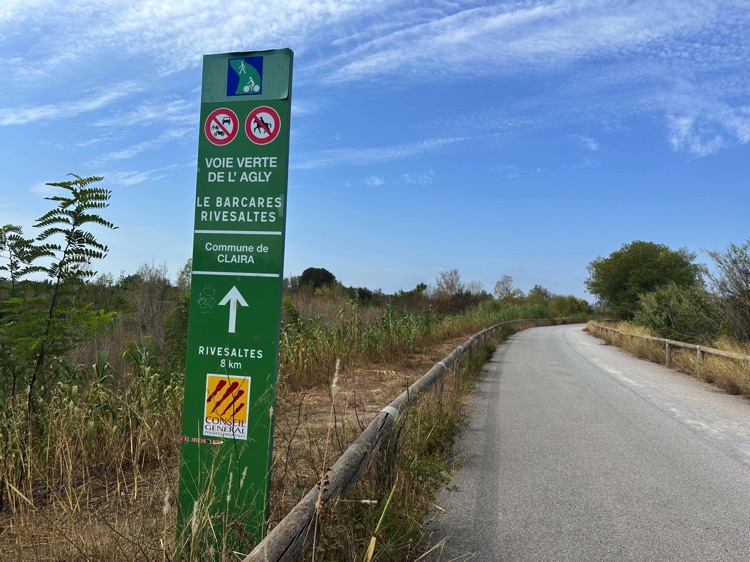
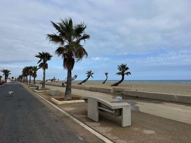
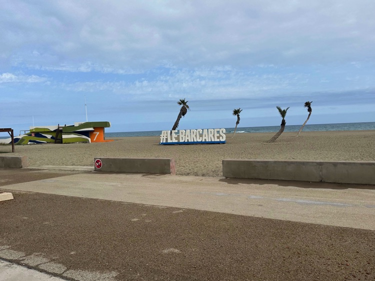
Continuing along the coast towards Leucate, the wind and Mediterranean light marked every pedal stroke. The stage ended at Le Barcarès, where the sea merges with the lagoon of Salses-Leucate, symbolically marking the end of the Mediterranean and the beginning of the journey inland towards the Atlantic.
🇫🇷 ➡️ 🇪🇸 Stage 3 – French Prealps and Pyrenees: From the Mediterranean Coast to the Atlantic (Le Barcarès → Hendaye, gateway to Spain / Irun)
Overview
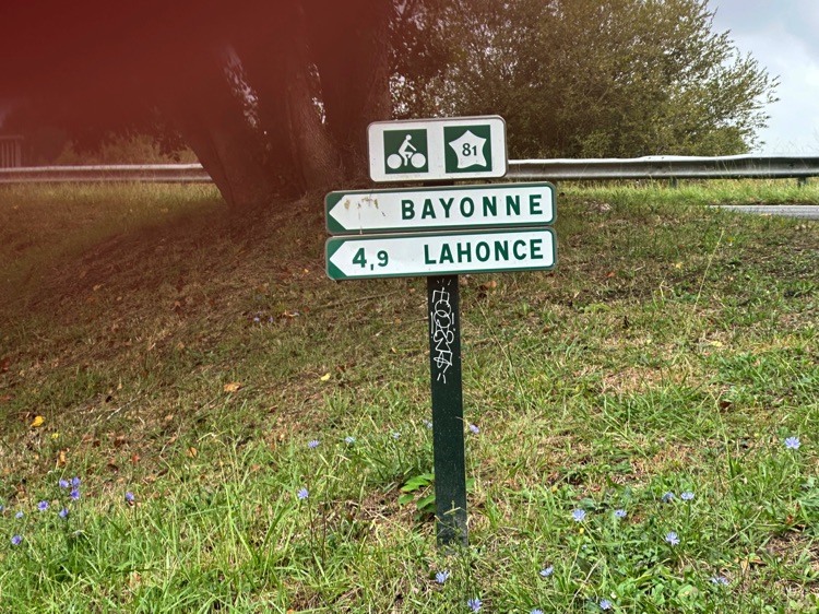
Crossing the gentle hills and valleys of the French Pyrenees, this stage follows the Vélosud (V81), a cycle route of about 650 km connecting the Mediterranean to the Atlantic. While avoiding the highest peaks, it alternates climbs and descents through picturesque villages and emblematic towns such as Foix, Lourdes, and Pau, offering breathtaking views and full immersion in the region’s natural and cultural heritage.
Heading west, the route passes through the departments of Pyrénées-Orientales, Aude, Ariège, Haute-Garonne, and Hautes-Pyrénées, finally reaching the Atlantic Pyrenees (Pyrénées-Atlantiques), with coastal towns like Bayonne and Biarritz.
The stage ends in Hendaye, a town on the Spanish border, where the bridge over the Bidasoa leads to Irun, the gateway to the Camino del Norte and entry into the Spanish Basque Country.
📌 Discover the full stage: route details and GoPro footage on the blog.
🇫🇷 Stage 3.1: French Prealps – From the Mediterranean to the Atlantic: Le Barcarès → Foix
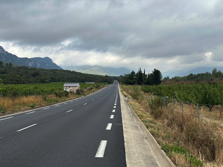
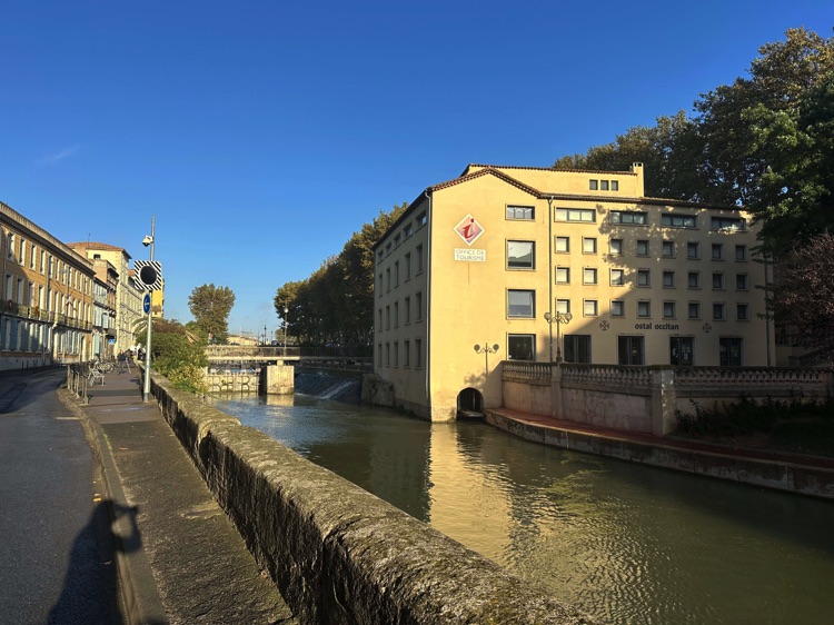
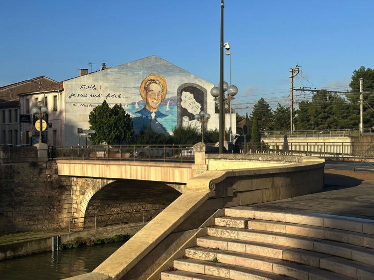
From Le Barcarès, I left the Mediterranean behind and ventured into the French Prealps, following the Véloroute V81 – Piémont Pyrénéen. Over 600 km of rolling hills, forests, and valleys, with gentle climbs and false flats, offered constantly changing panoramas accompanying every pedal stroke.
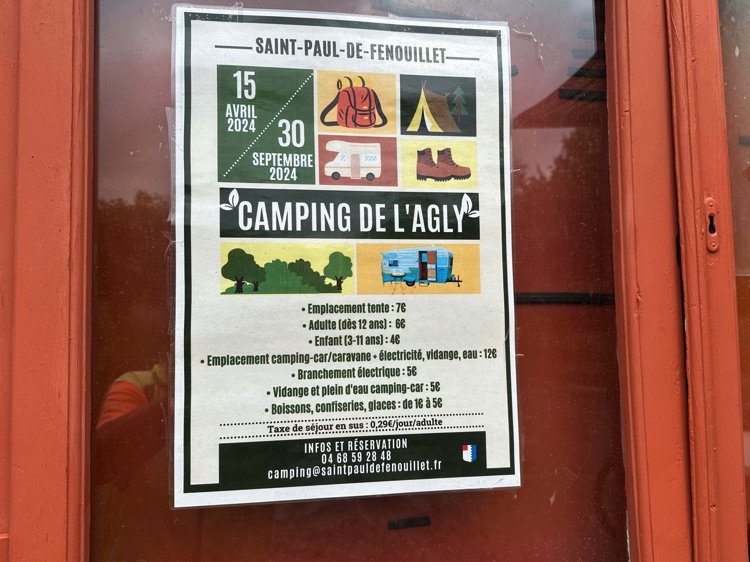
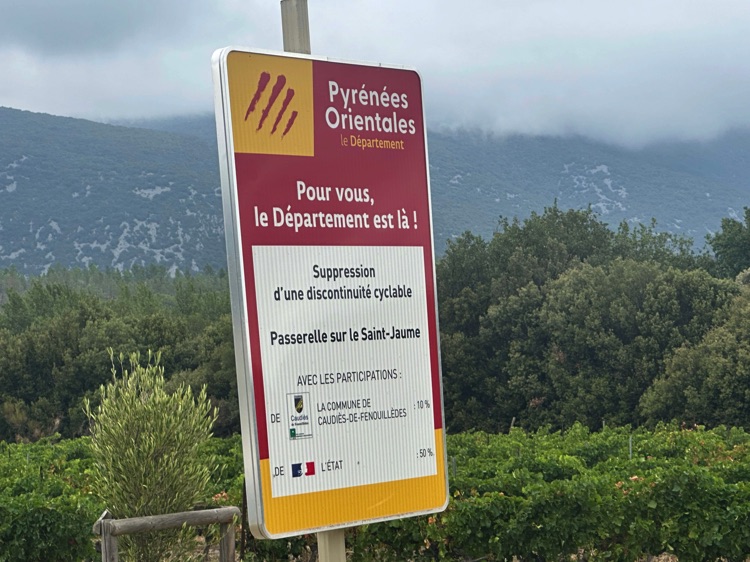
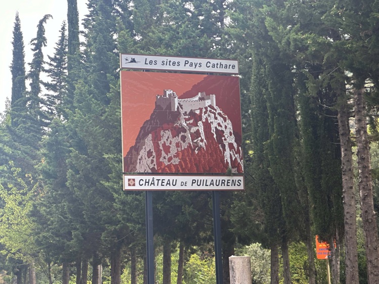
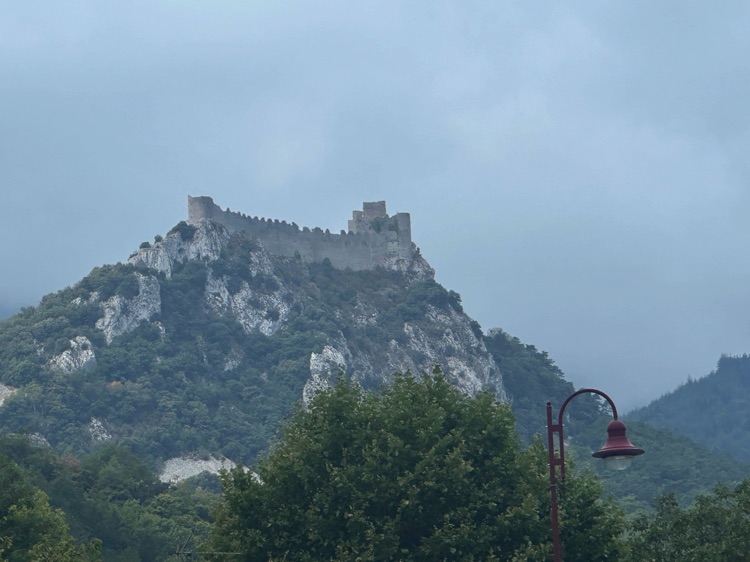
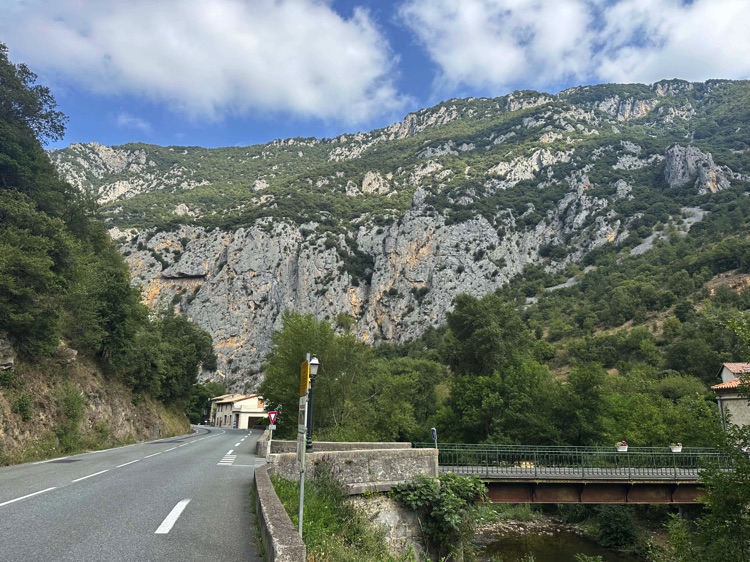
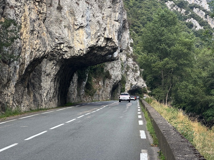
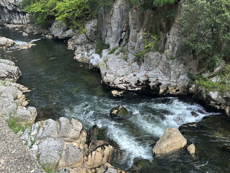
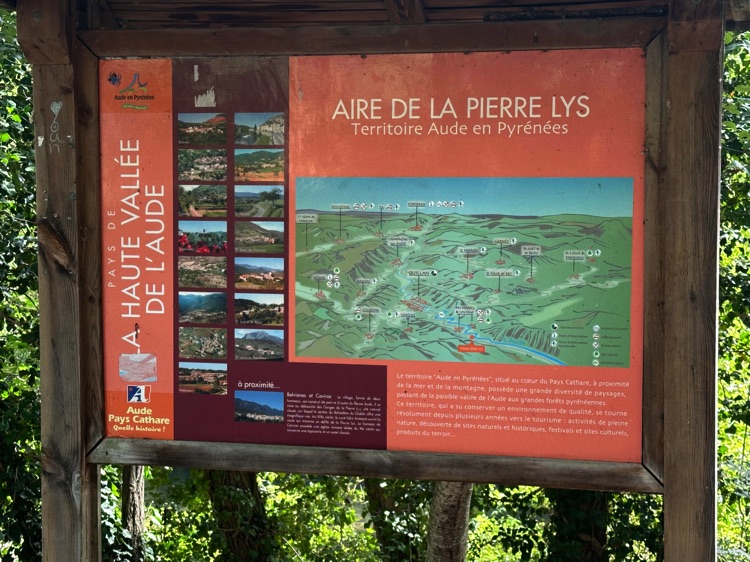
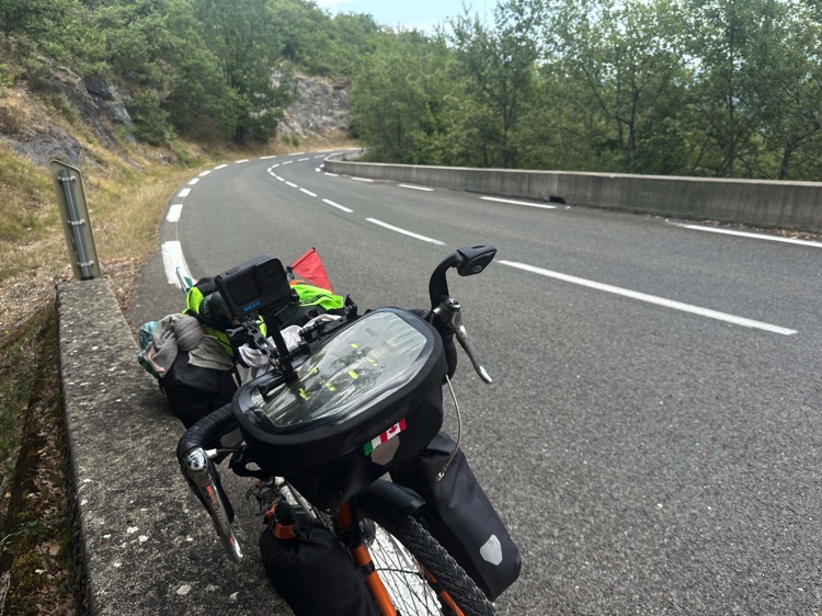
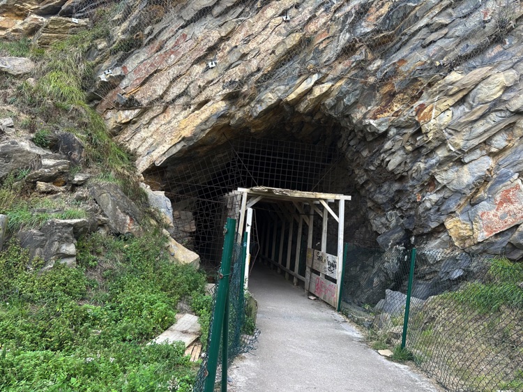
Among the vineyards and hills of the Fenouillèdes, I reached Saint-Paul-de-Fenouillet, the gateway to deep canyons and medieval fortresses. Along the Aude River, I crossed the spectacular Gorges de la Pierre-Lys, with tight curves and rocky tunnels just inches from the handlebars, the rushing river beside me.
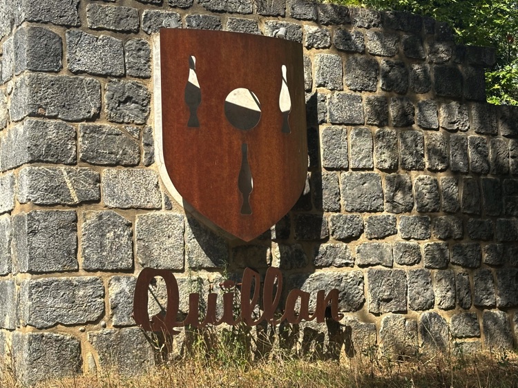
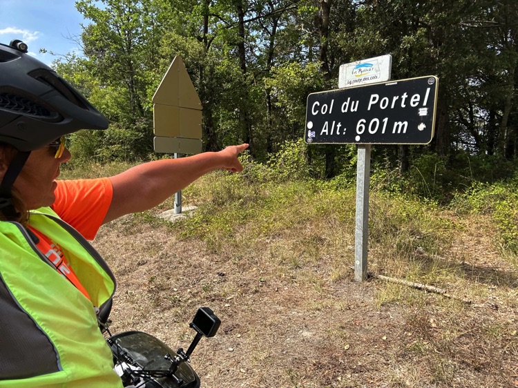
At Quillan, surrounded by forests, the steady climb to the Col du Portel (601 m) began, a gentle pass immersed in greenery, where fresh air and profound silence transformed the rhythm of the ride.
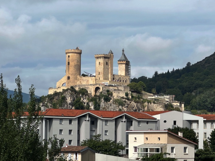
Continuing into Ariège, the landscape became increasingly rural until Foix, dominated by the majestic Château de Foix, perched on a rocky outcrop: a striking moment marking the end of this stage.
🇫🇷 Stage 3.3 – Lourdes → Hendaye
From Lourdes, immersed in its spiritual aura, I followed the course of the Gave de Pau, through green valleys and the hills of the Western Pyrenees. Quiet backroads and bike paths offered a steady rhythm among forests, ancient chapels, and isolated farms.
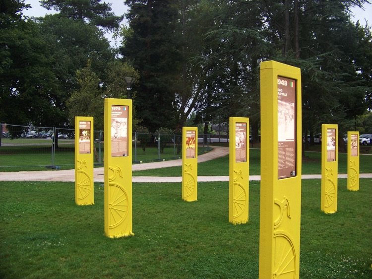
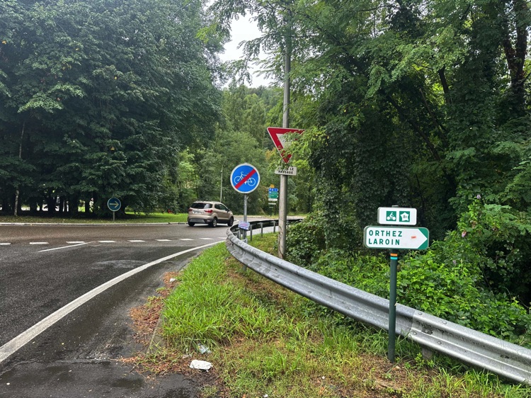
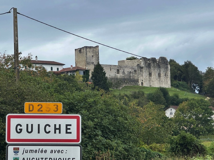
In Pau, I admired Le Tour des Géants, an open-air museum dedicated to the Tour de France winners, before continuing west through small villages like Orthuz and Guiche, along the Adour River.
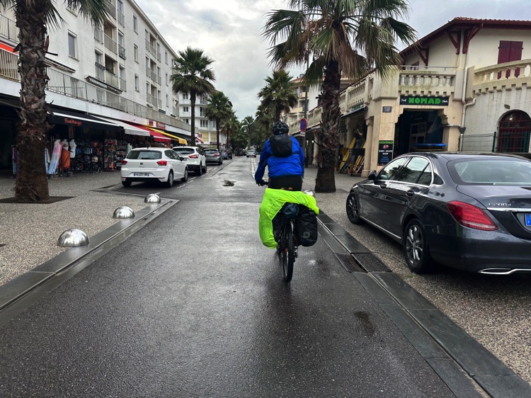
Reaching Bayonne, with its colorful half-timbered houses, the landscape opened up toward the Basque coast: sand dunes, maritime pines, and charming villages, leading to the wide beaches of Anglet, the waves of Biarritz, and the market of Saint-Jean-de-Luz.
Finally, in Hendaye, the bridge over the Bidasoa marked the entry into Spain at Irun, the gateway to the Camino del Norte and the starting point for new adventures.
🇪🇸 ➡️ 🇵🇹 Stage 4 – Along the North Coast of Spain: From the Basque Country to Portugal
Overview
Northern Spain revealed itself as an authentic and wild land, meant to be experienced slowly between ocean and mountains, along one of the most spectacular coasts in Europe. Jagged cliffs, pristine beaches, green meadows, and forests accompany a journey far from mass tourism.
The route begins in Irun, the gateway to the Camino del Norte, crossing four regions: the Basque Country, Cantabria, Asturias, and Galicia. A constant up-and-down ride between ocean and hills, sometimes sharing the road with pilgrims on foot. Along the coast, you encounter iconic cities like San Sebastián, Bilbao, and Gijón, while wind and climbs make the ride challenging but incredibly rewarding.
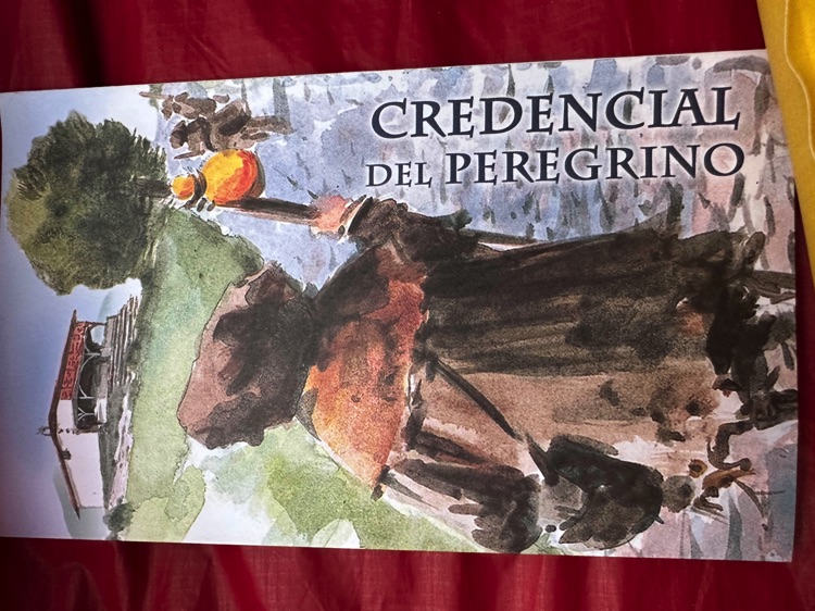
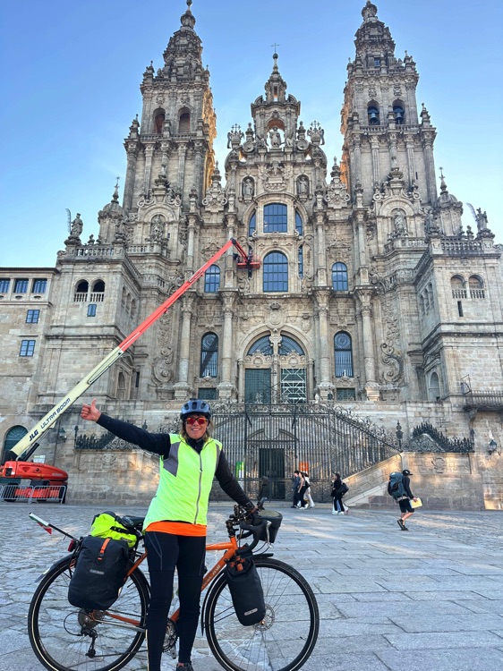
Entering Galicia at Ribadeo, I left the coast to follow the inland route to Santiago de Compostela, where the Cathedral marks the end of the Camino del Norte.
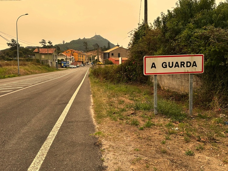
For many, this is the end of the journey. For me, it was a continuation: from here, I followed the Camino Portugués de la Costa in reverse, passing through Padrón, Pontevedra, Vigo, and Baiona, until reaching A Guarda.Finally, I crossed the Miño River by ferry, the natural border between Spain and Portugal, continuing my circumnavigation of the Iberian Peninsula.
📌 Discover the full stage: route details and GoPro footage on the blog.
🇪🇸 Stage 4.1 – Along the North Coast of Spain: Hendaye → Comillas
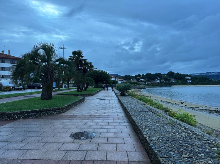
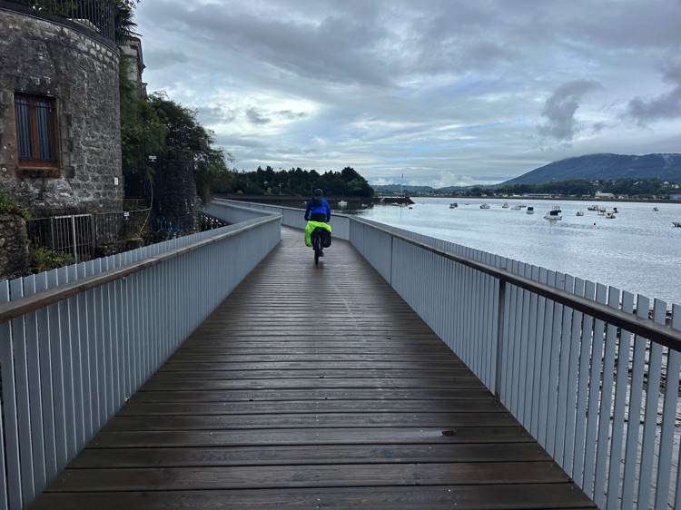
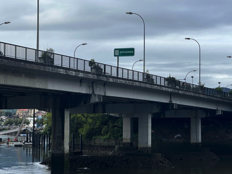
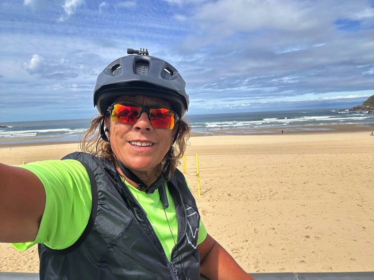
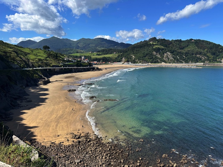
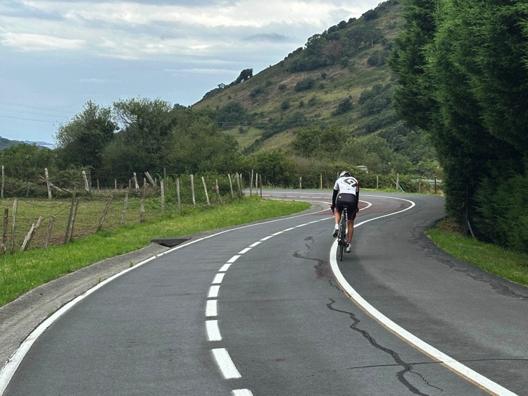
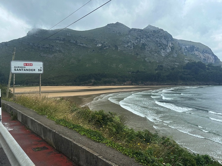
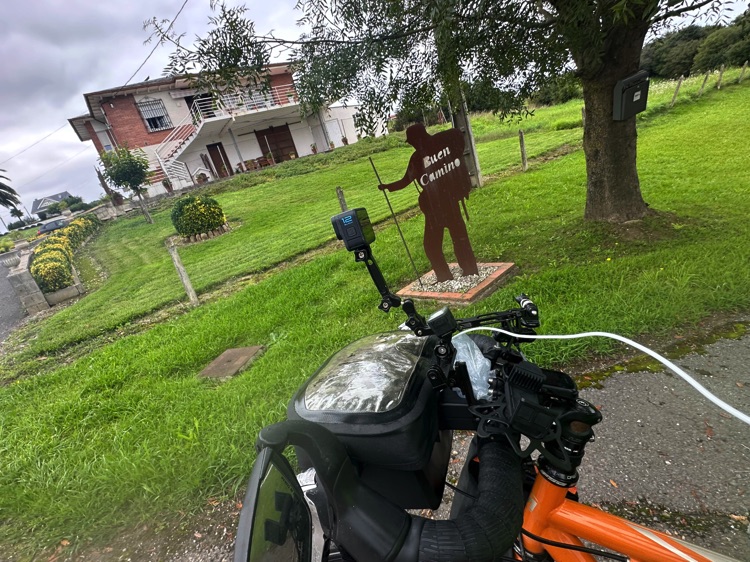
Crossing the Bidasoa River bridge, I left France and entered Spain at Irun, the starting point of the Camino del Norte. The Bay of Biscay coastline welcomed me with rolling roads, dramatic cliffs, and the green landscapes of España Verde, where ocean, forests, and wind accompanied every pedal stroke.
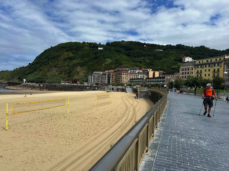
In the Basque Country, I passed through iconic towns like San Sebastián and Zarautz, following scenic roads among surfers, vineyards, and endless ocean views.
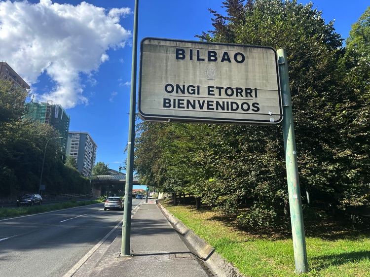
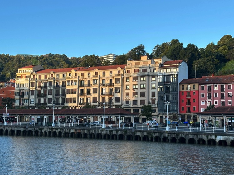
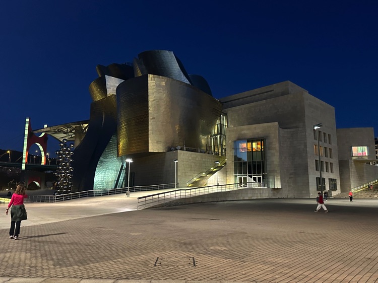
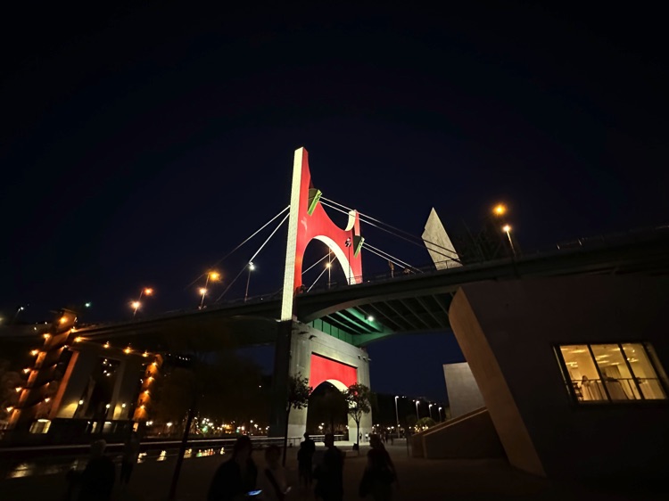
Continuing west into Cantabria, the route passed through important cities like Bilbao, famous for the Guggenheim Museum, and the wide beaches of Laredo and Santander, with coastal cycle paths that made riding easier than the pilgrims’ trails on foot.
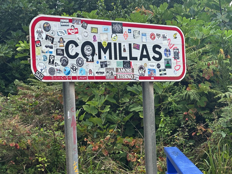
The stage ended in Comillas, among quiet villages and backroads, immersed in the authentic Atlantic landscapes and the atmosphere of the Camino del Norte.
🇪🇸 Stage 4.2 – Comillas → Santiago de Compostela
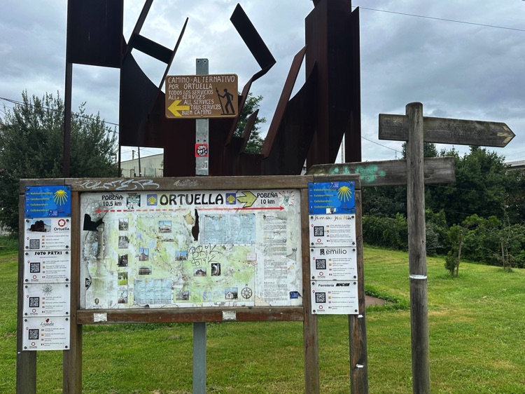
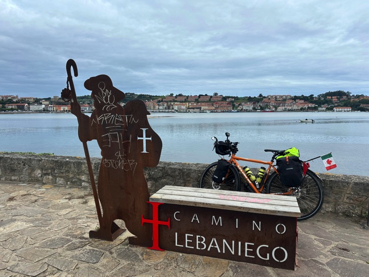
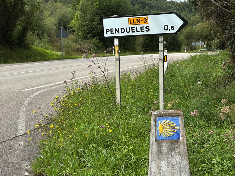
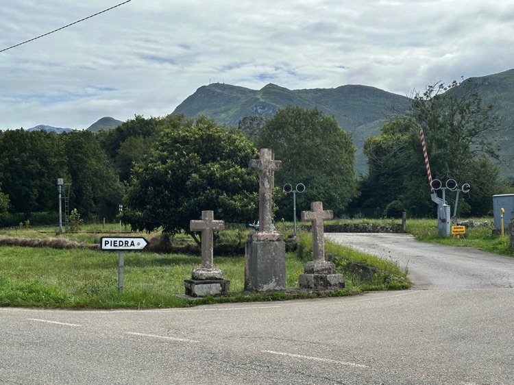
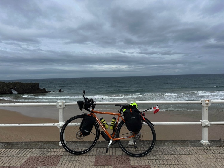
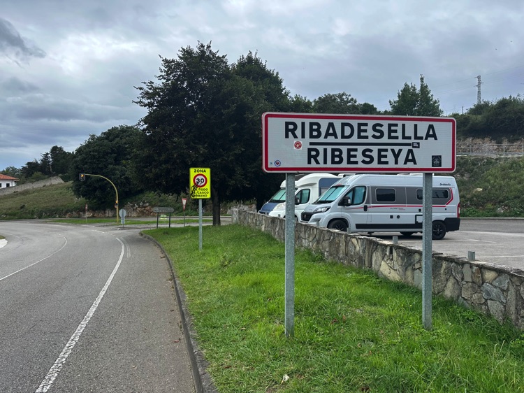
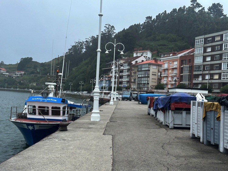
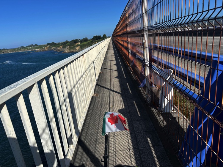
Entering the Asturias, I crossed the Puente de la Maza, where signs indicate the Camino Lebaniego, a 70 km route from the sea to the Picos de Europa. Soon after, I reached Ribadesella, nestled between estuaries, mountains, and beaches, cycling along the seafront with spectacular panoramas.
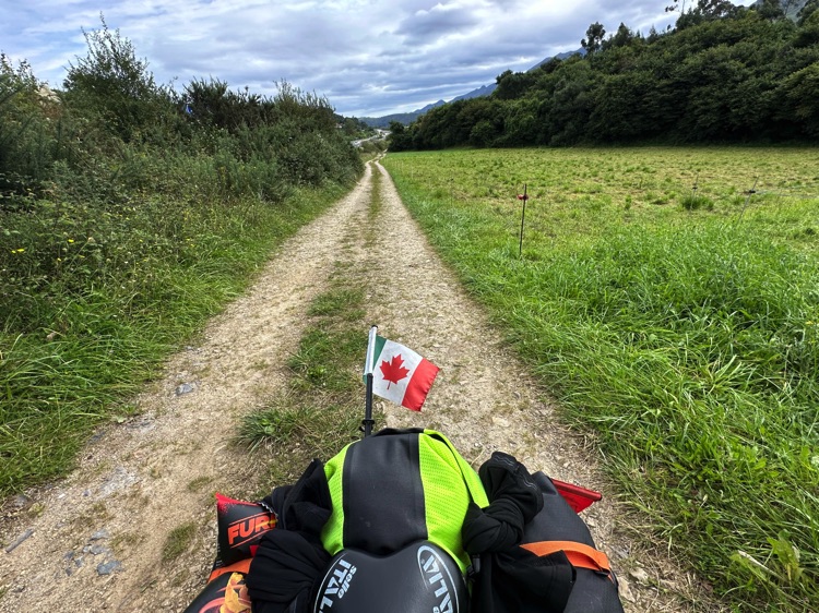
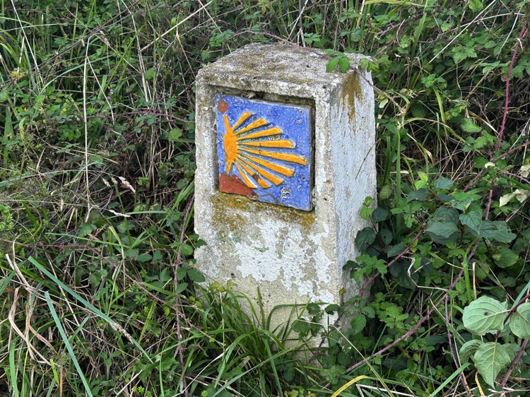
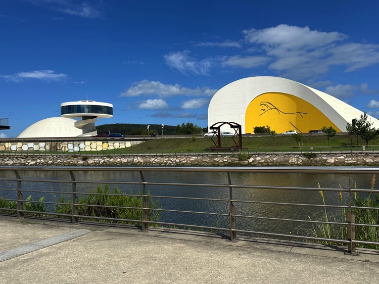
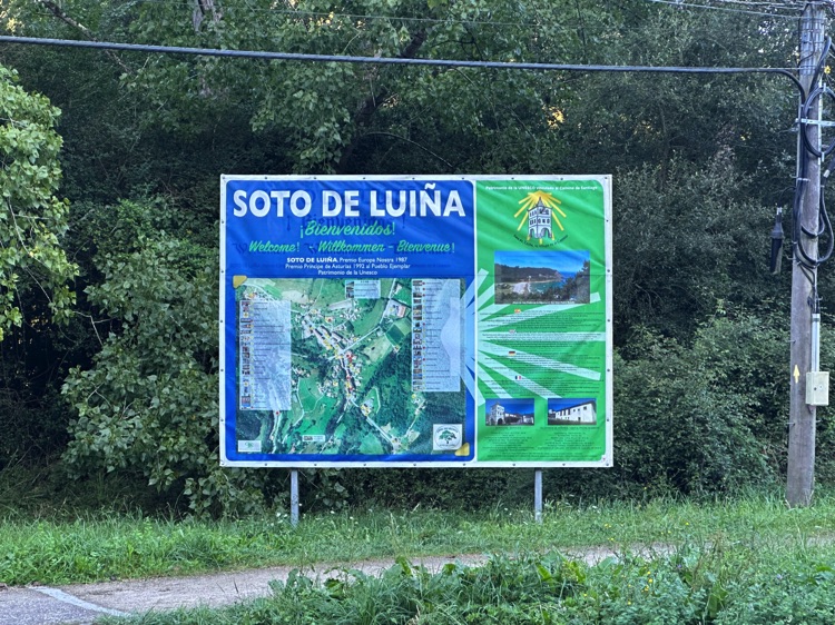
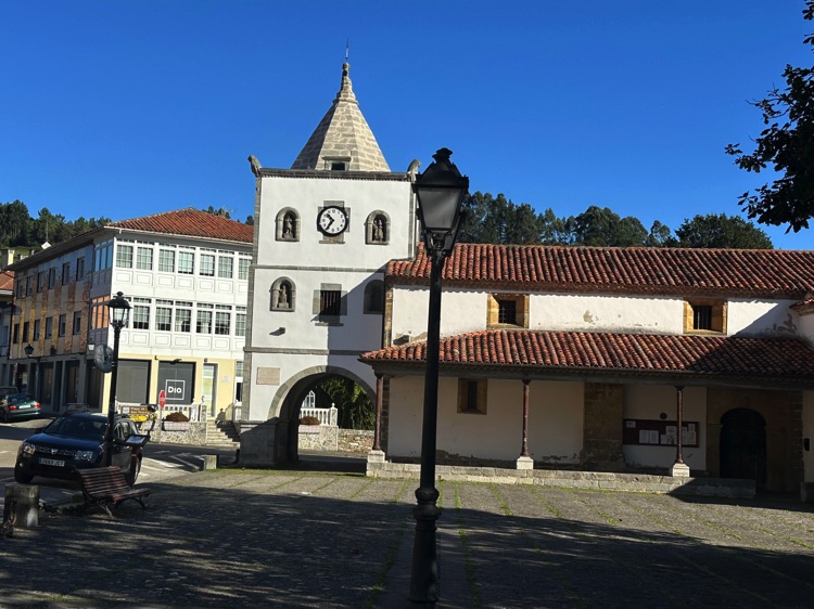
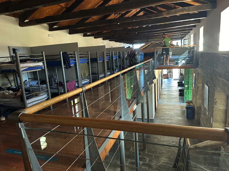
Continuing west, I passed through Gijón, Avilés, Soto de Luiña, and Cudillero, among picturesque villages and Atlantic vistas. Safer cycle paths allowed me to avoid the muddy stretches of the pedestrian Camino del Norte, while staying immersed in the pilgrims’ atmosphere.
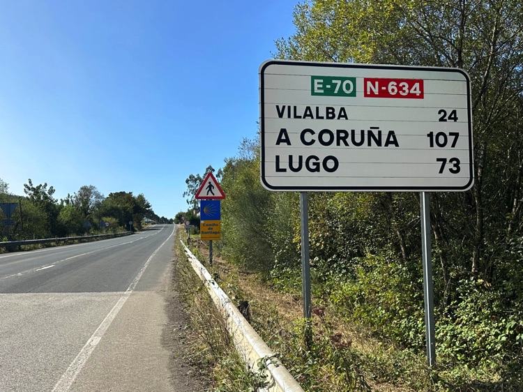
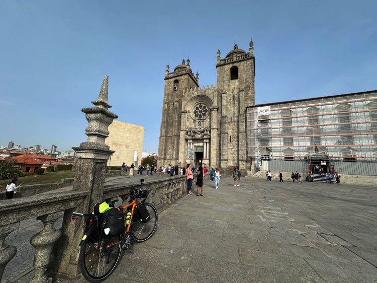
At Ribadeo, I left the coast to enter the Galician inland, climbing through valleys and villages toward Mondoñedo, Abadín, Vilalba, and Baamonde, finally reaching Santiago de Compostela, where the towers of the Cathedral marked a symbolic milestone.
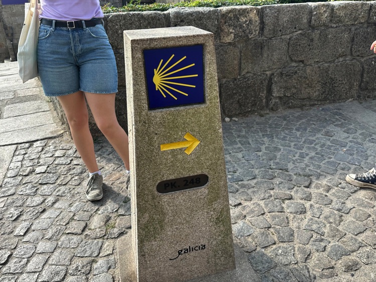
From Santiago, I followed the Portuguese Coastal Way, a pilgrimage route from Porto, Portugal, along the Atlantic coast to Santiago, in reverse. I passed through Padrón, Pontecesures, Pontevedra, Redondela, Vigo, and Baiona, until reaching A Guarda. A small ferry carried me to Caminha, Portugal, with the Spanish coast receding and the green hills of the Minho ahead, marking the beginning of a new chapter in the journey.
🇪🇸 Stage 4.3 – Santiago de Compostela → Caminha
From Santiago de Compostela, I continued south along the Portuguese Coastal Way, traveled in reverse, passing through Padrón, Pontecesures, crossing the Lérez River bridge, then Pontevedra, Redondela, Vigo, and Baiona, where news of Christopher Columbus’ return once arrived.
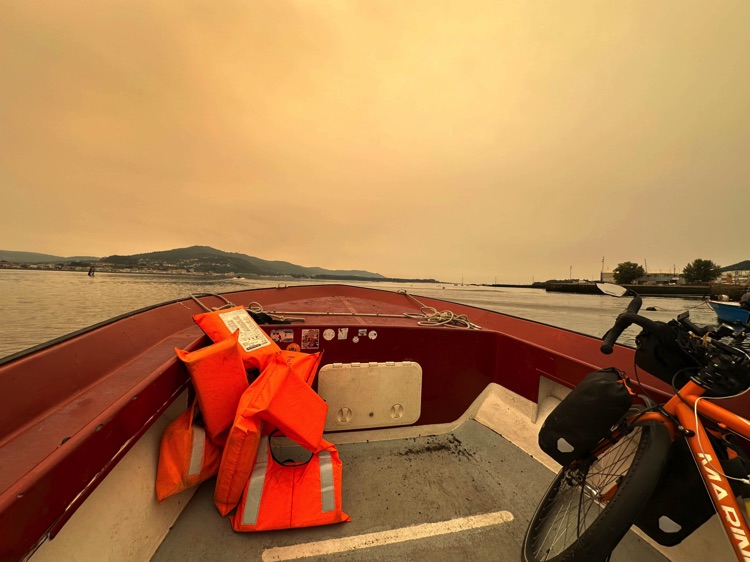
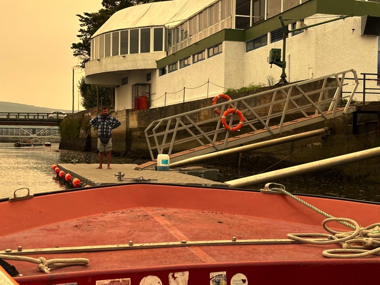
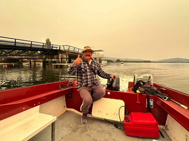
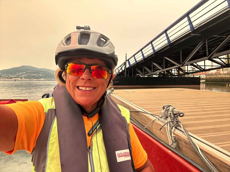
Finally, I reached the southernmost tip of Galicia, A Guarda, where land merges again with the ocean. A small ferrycarried me through calm currents, under a yellow-orange sky from nearby forest fires, with a smiling boatman at the helm, until reaching Caminha, Portugal.
As the Spanish coast receded behind me and the green hills of the Minho drew closer, I felt that a new chapter of my journey had just begun.
🇵🇹 ➡️ 🇪🇸 Stage 5 – From Northern to Southern Portugal, along the Algarve coast and hinterland (Porto → Vila Real de Santo António)
Overview
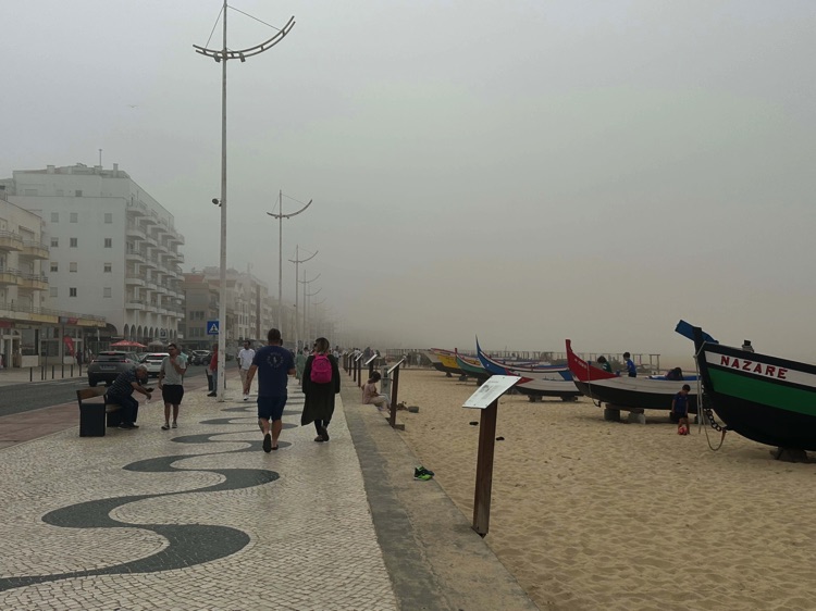
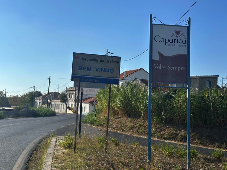
From northern Portugal, starting in Porto, I followed the Atlantic coast, passing through Nazaré, famous for its legendary waves, all the way to the vibrant city of Lisbon and the Caparica and Setúbal coasts. Continuing south along the Alentejo beaches, I entered tranquil inland areas, cycling through villages like Cercal do Alentejo.
Upon reaching the Algarve, nature took over: Aljezur welcomed me in the heart of the Costa Vicentina Natural Park, while I rode along the coast to discover hidden gems of the inland region.
Passing through villages such as Bensafrim and Budens, I descended again toward the coast to Lagos, following lighthouses and cliffs until reaching the southeastern tip of Portugal: Vila Real de Santo António, overlooking the Guadiana River, the natural border with Spain, where Ayamonte marks the gateway to Andalusia and the starting point toward Huelva.
📌 Discover the full stage: route details and GoPro footage on the blog
🇵🇹 Stage 5.1 – Caminha → Praia de Mira
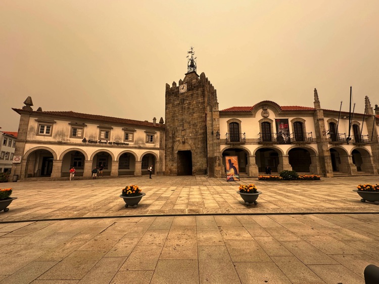
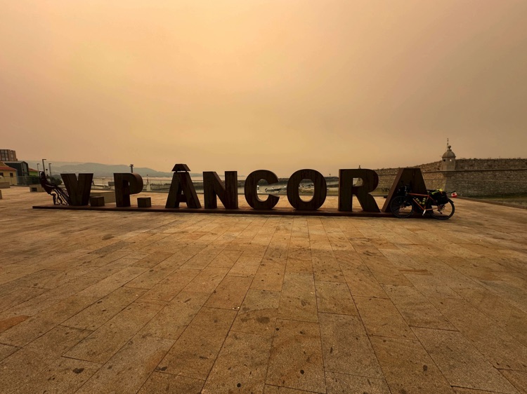
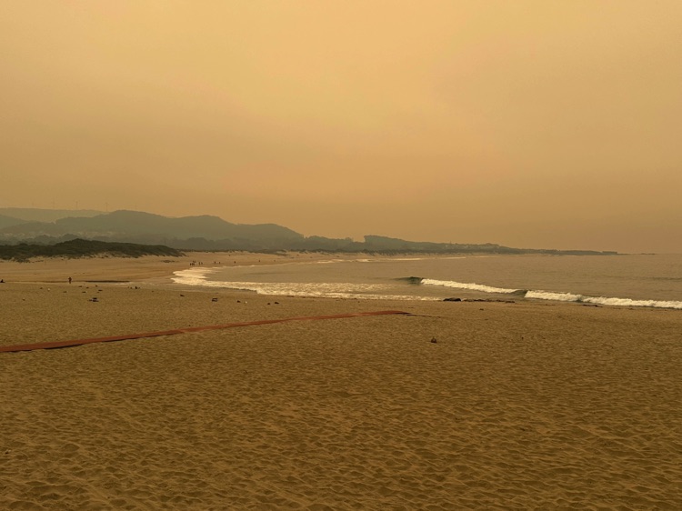
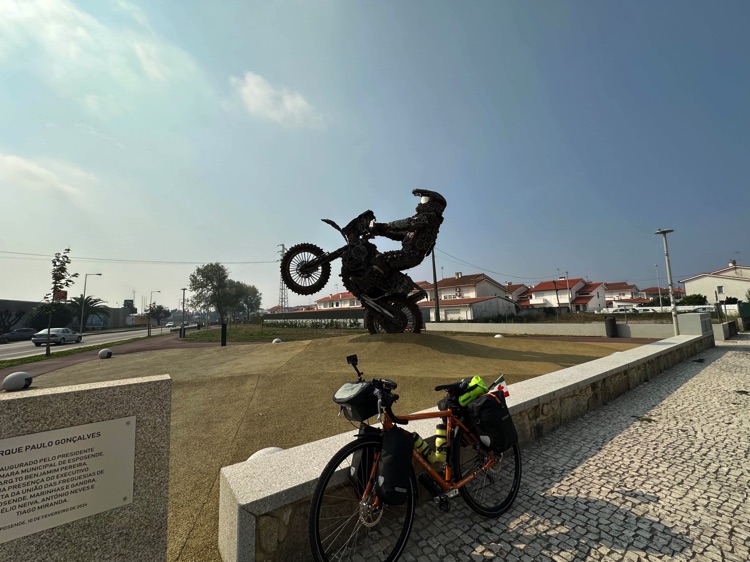
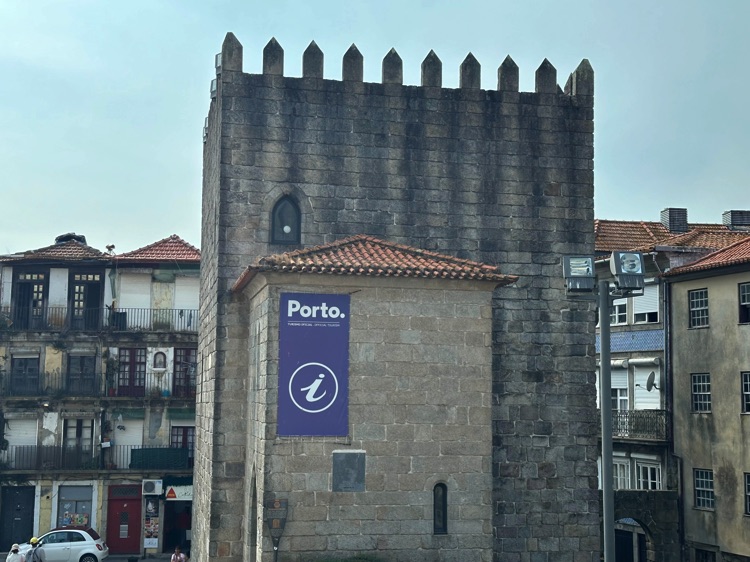
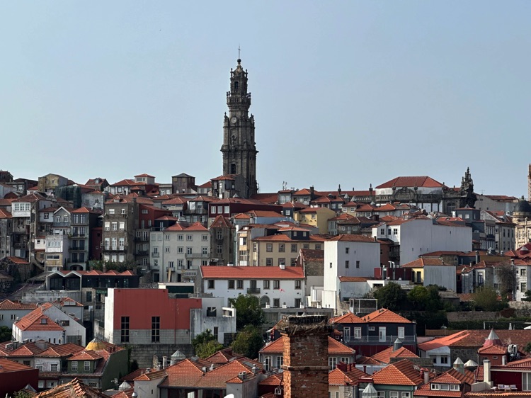
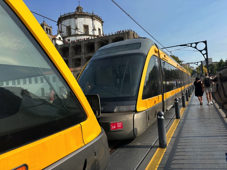
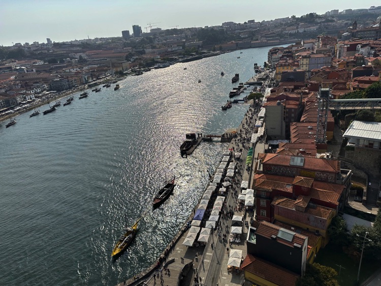
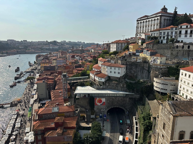
Leaving Caminha, I followed the northern Portuguese coast, passing through Vila Praia de Âncora, Viana do Castelo, and Esposende, until reaching Porto, a UNESCO World Heritage city.
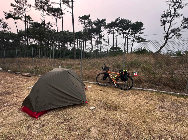
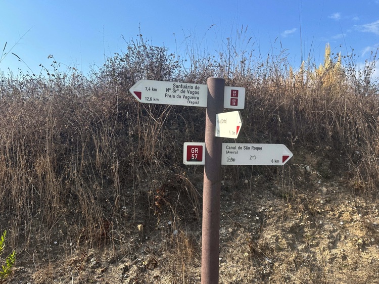
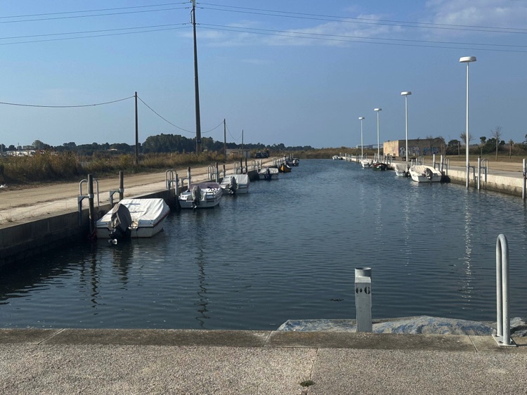
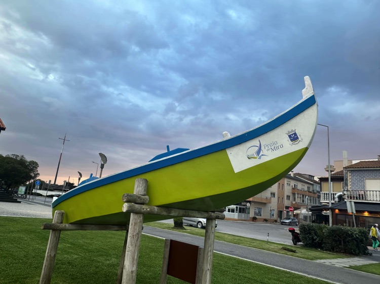
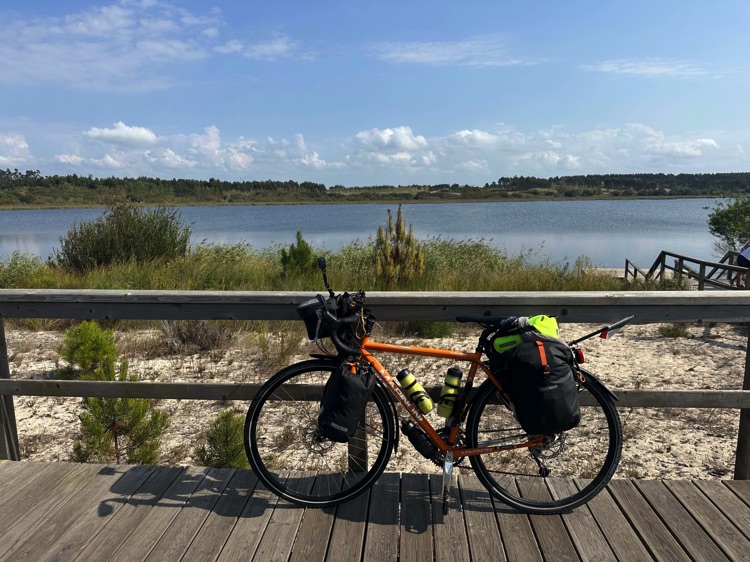
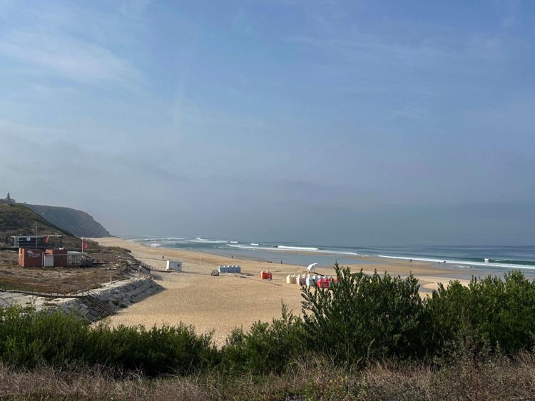
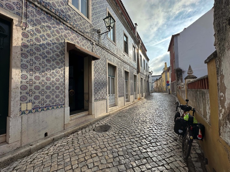
Crossing the Dom Luís I Bridge was unforgettable, with wine cellars and hills covered in azulejos. Continuing along the coastline, the ecovias winding between dunes, pine forests, and the Aveiro lagoon led me to Praia de Mira, nestled between the ocean and the Barrinha lagoon.
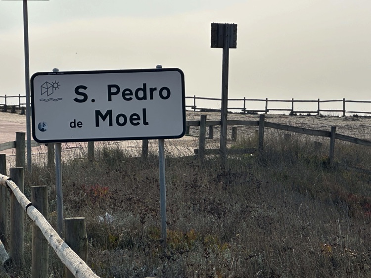
🇵🇹 Stage 5.2 – Praia de Mira → São Pedro de Moel
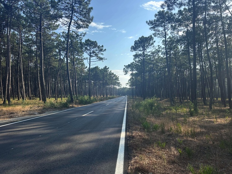
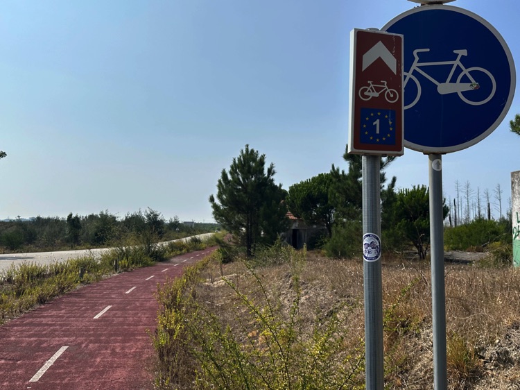
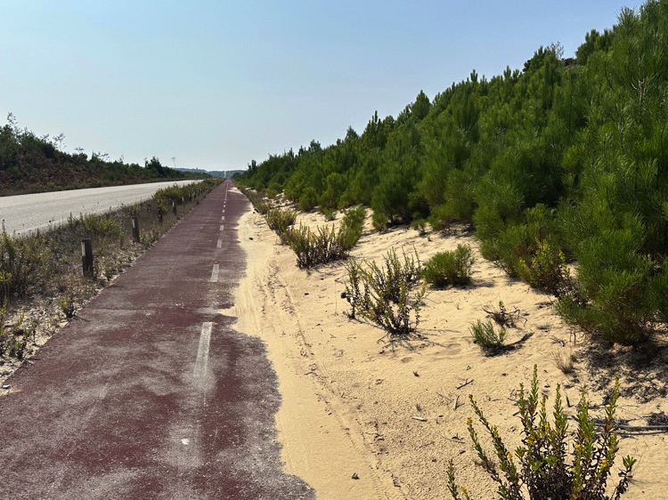
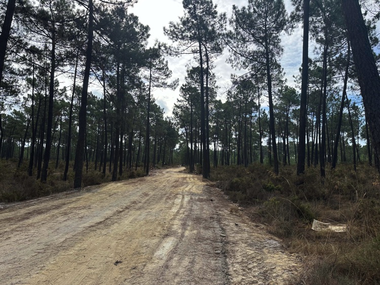
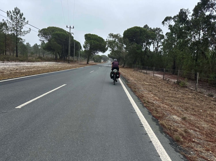
Leaving Praia de Mira, I followed a quiet cycle path through pine forests and the aroma of resin. The Estrada Atlântica, mostly flat with gentle ups and downs, led me to the Figueira da Foz bridge over the Mondego River.
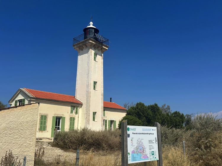
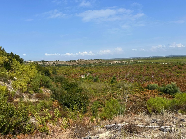
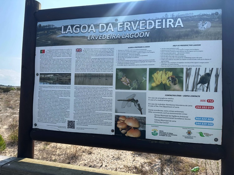
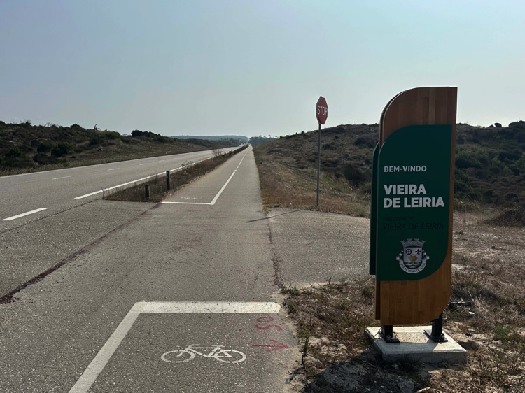
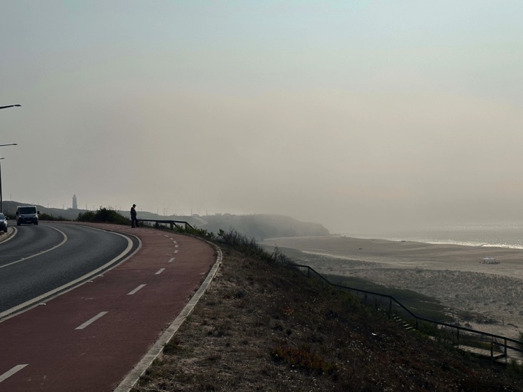
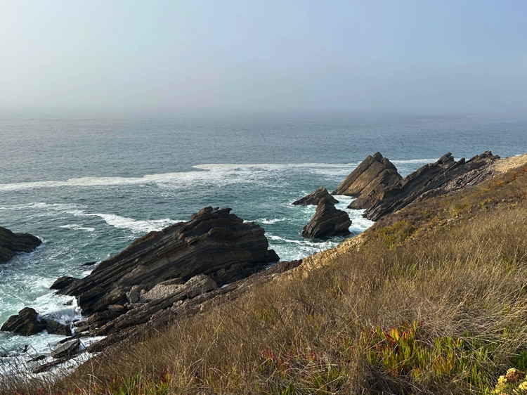
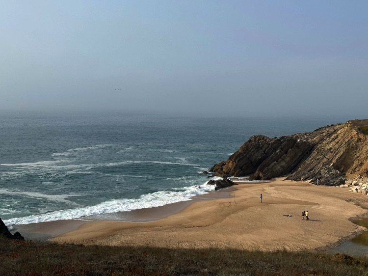
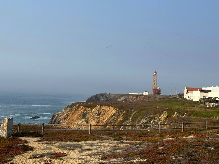
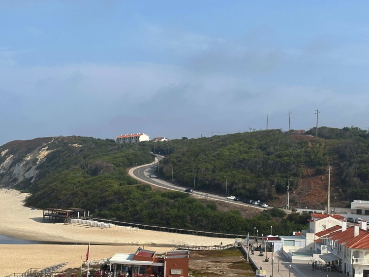
Passing near Osso da Baleia and the Lagoa da Ervedeira, I reached Vieira de Leiria and finally São Pedro de Moel, dominated by the Farol Penedo da Saudade and spectacular cliffs overlooking the ocean.
🇵🇹 Stage 5.3 – São Pedro de Moel → Torres Vedras
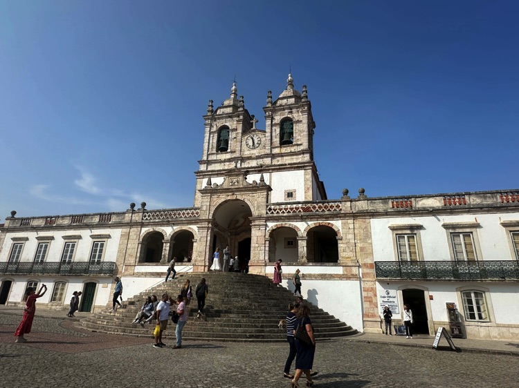
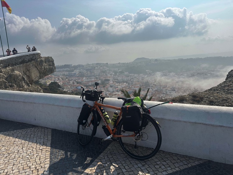
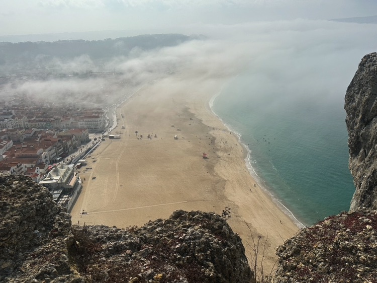
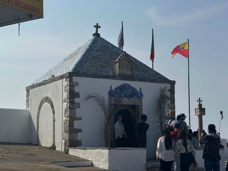
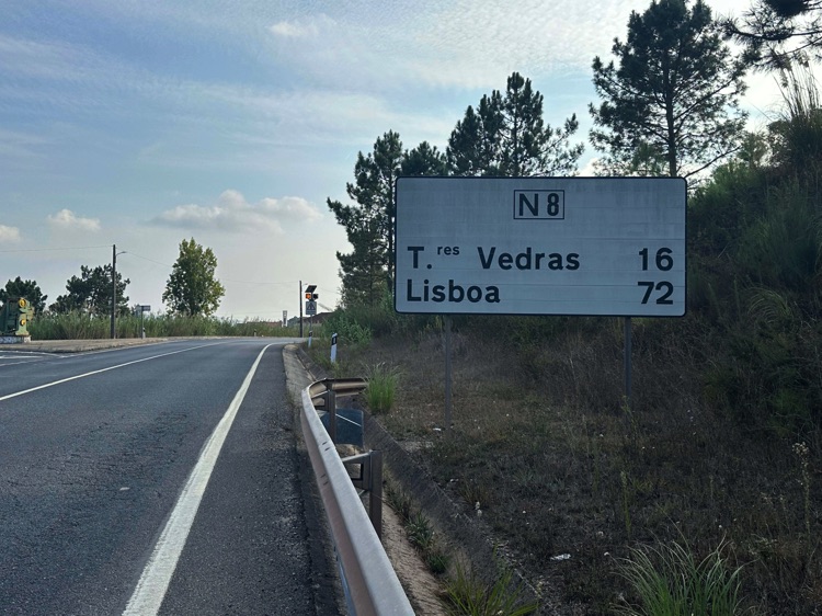
From São Pedro de Moel, I followed quiet coastal roads toward Nazaré, climbing up to the Sítio, with breathtaking views of Praia do Norte, famous for its giant waves and surfers from all over the world.
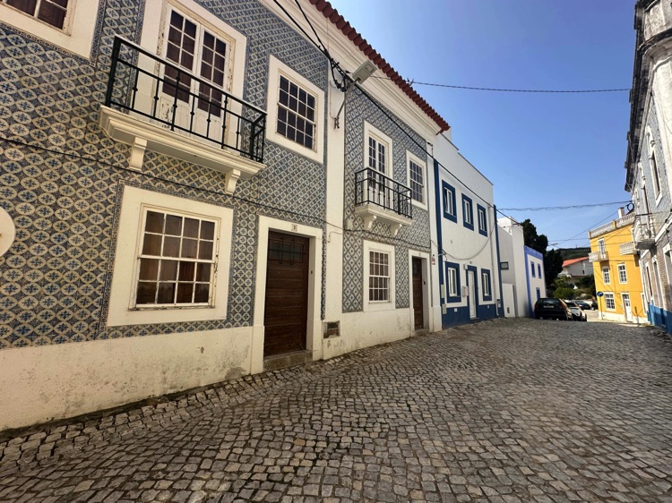
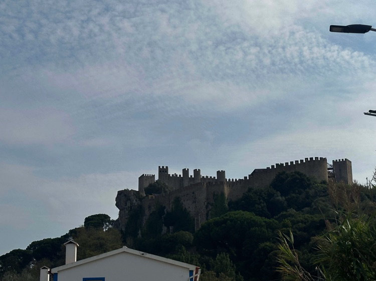
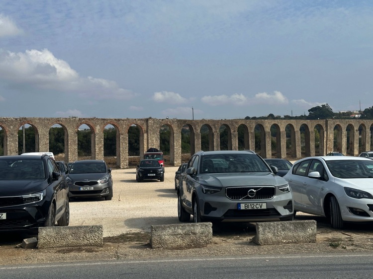
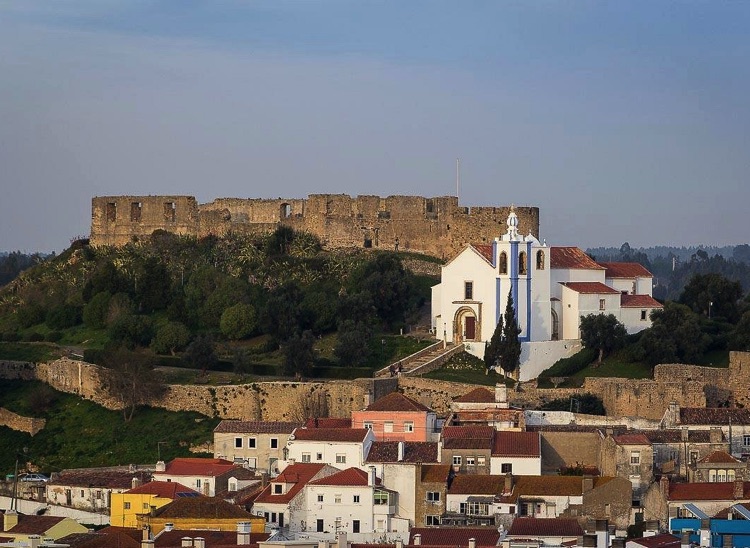
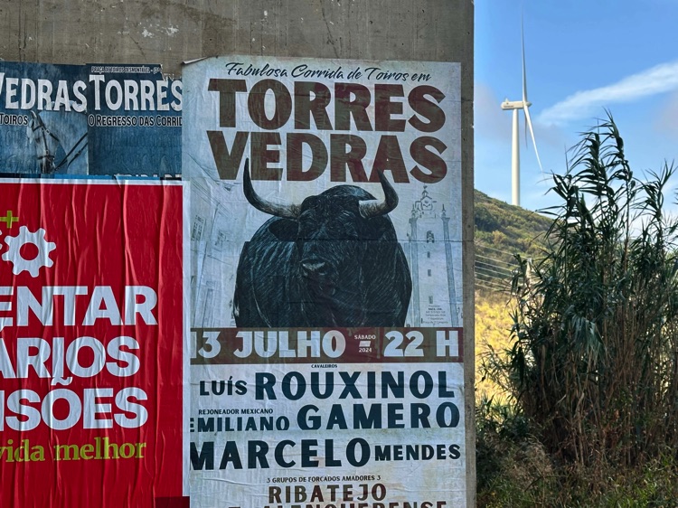
After the descent, I continued south, reaching São Martinho do Porto, a peaceful fishing village, and then headed inland, passing the Óbidos Aqueduct and the Castelo de Óbidos, perched on a hill. Riding through rural roads, I arrived at Torres Vedras, surrounded by vine-covered hills and its historic castle.
🇵🇹 Stage 5.4 – Torres Vedras → Penisola di Tróia
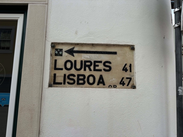
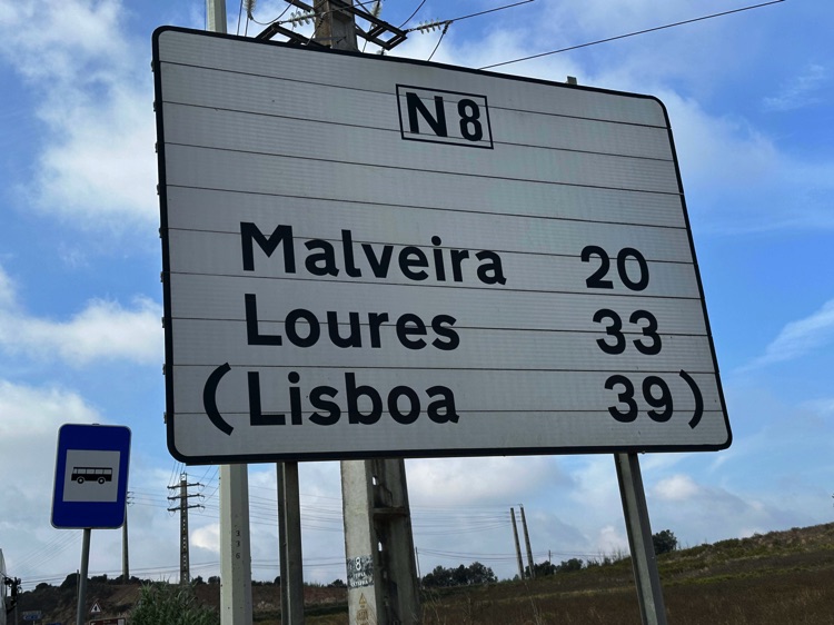
From Torres Vedras, I headed toward Lisbon, tackling the steep hills of Olival Basto, where the climbs were so challenging that I had to push my bike on foot. The effort was rewarded with spectacular views of the surrounding hills and countryside.
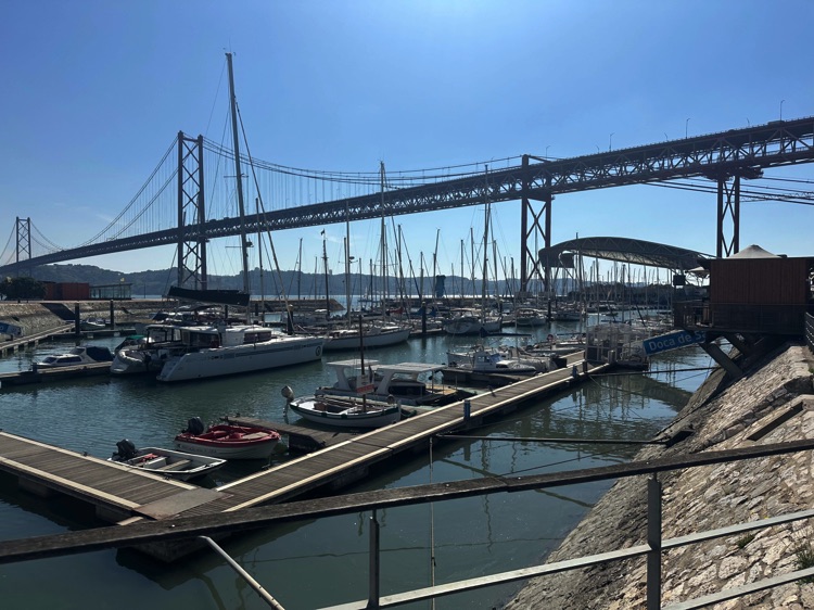
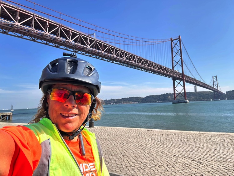
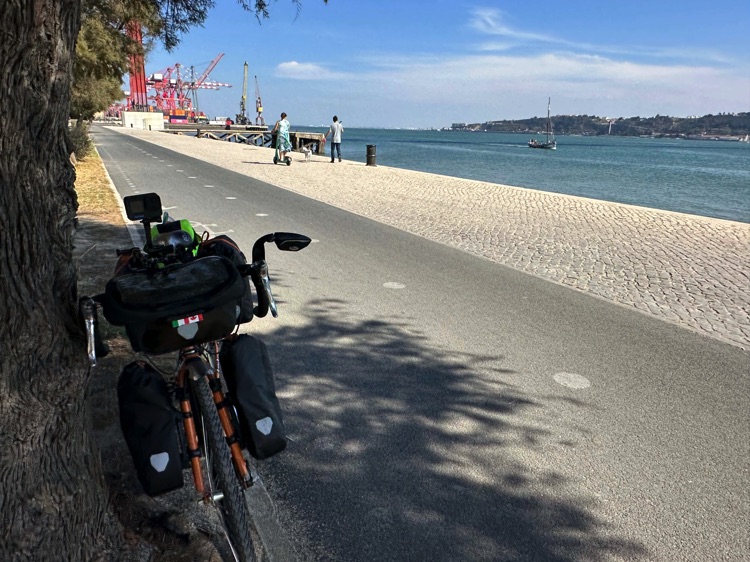
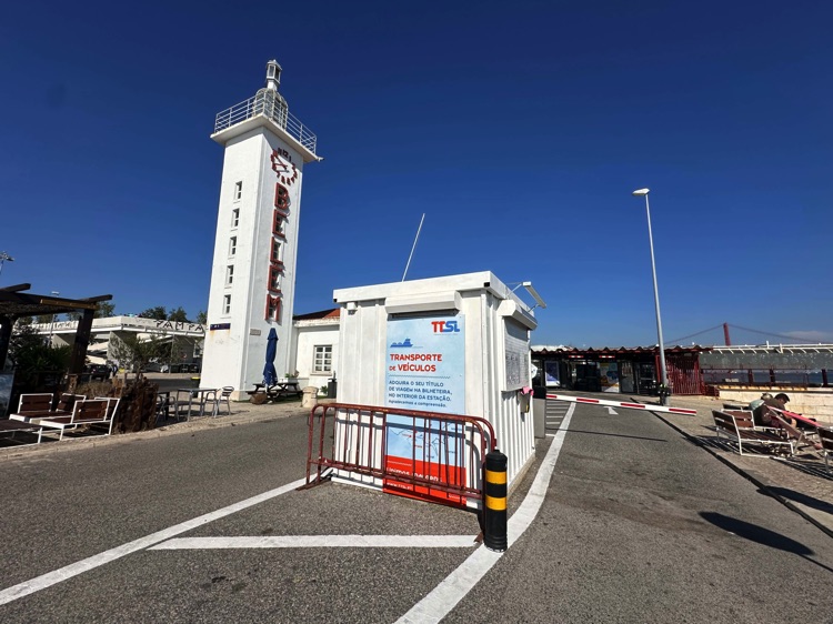
Entering Lisbon, the city came alive: trams gliding through narrow streets, sunlit façades, and the maritime district of Belém, rich with Portugal’s seafaring history.
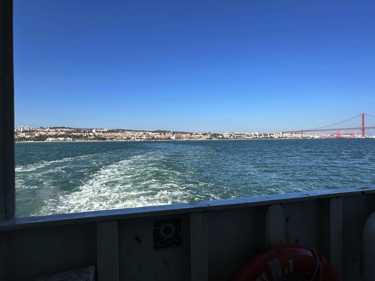
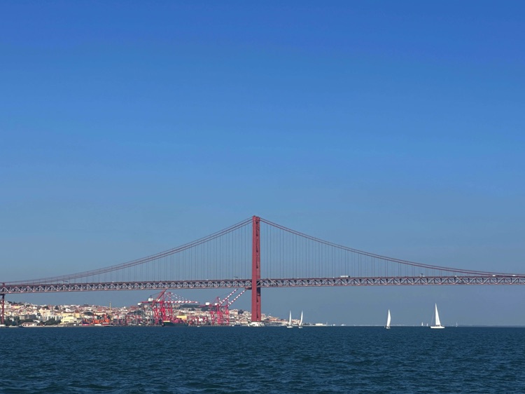
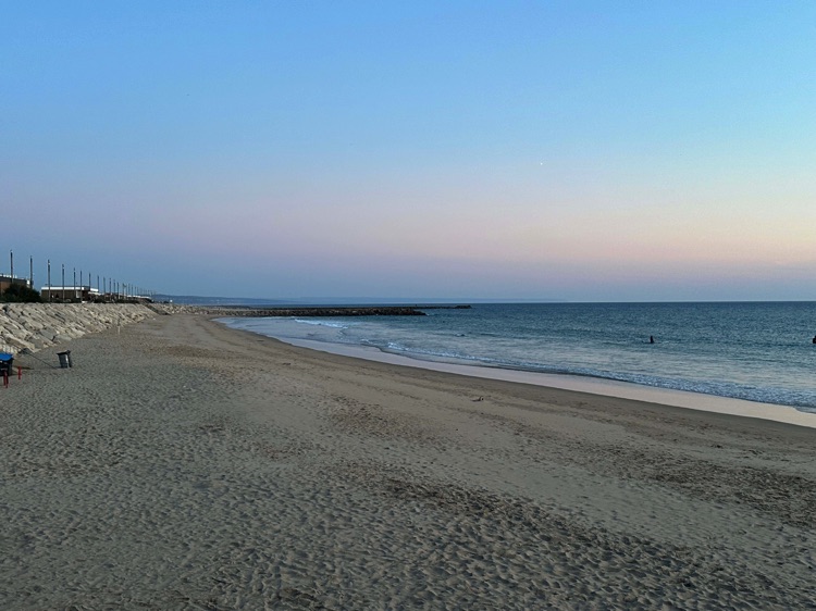
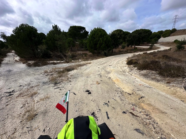
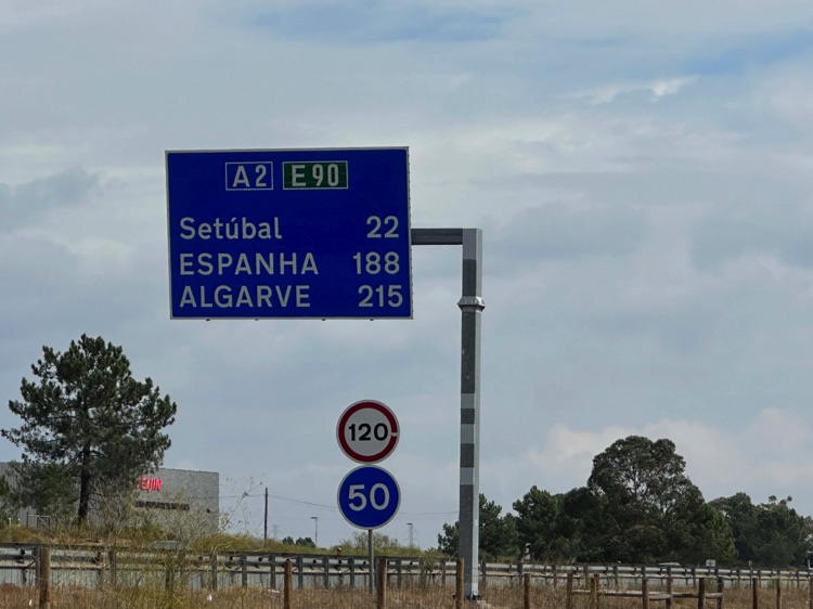
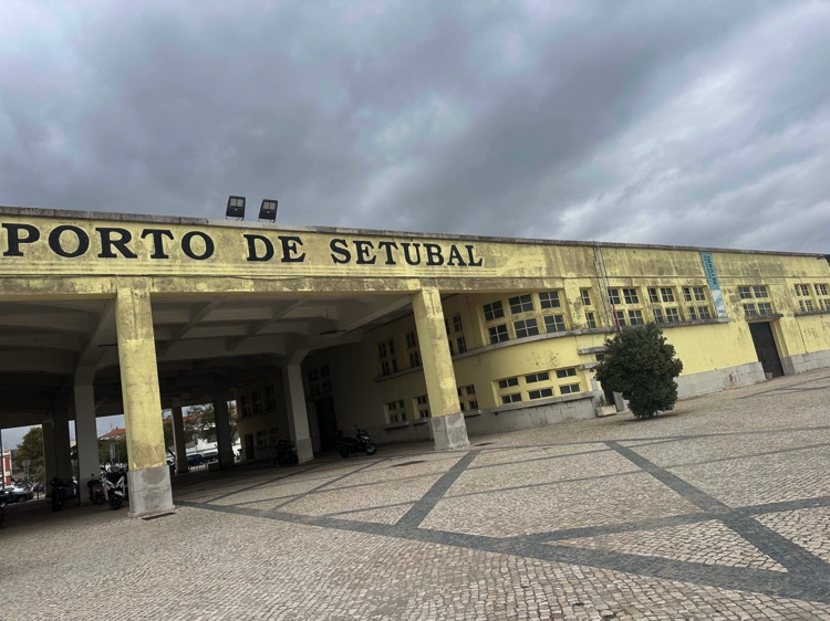
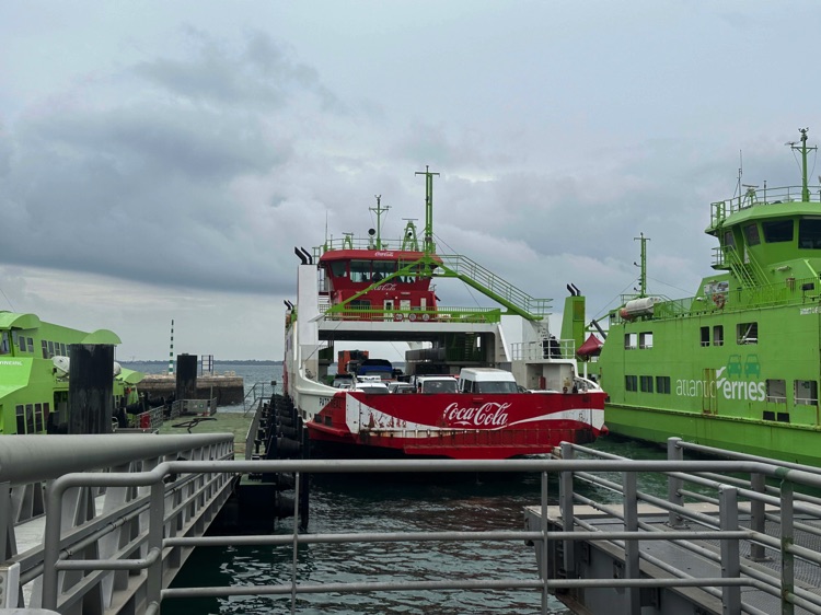
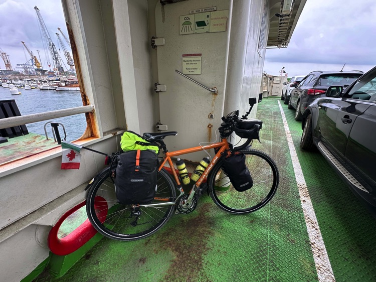
Crossing the Tagus River by ferry, I reached the Costa da Caparica, following beaches and cycle paths south to Setúbal and the Sado estuary, where a short ferry ride took me to the Tróia Peninsula.
🇵🇹 ➡️ 🇪🇸 Stage 5.6 – Lagos → Vila Real de Santo António / Ayamonte (Entry into Spain, Eastern Algarve)
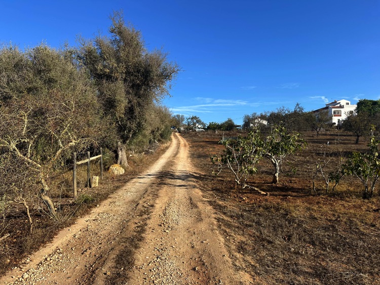
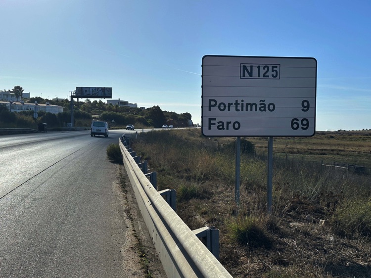
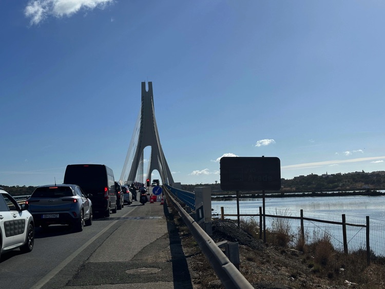
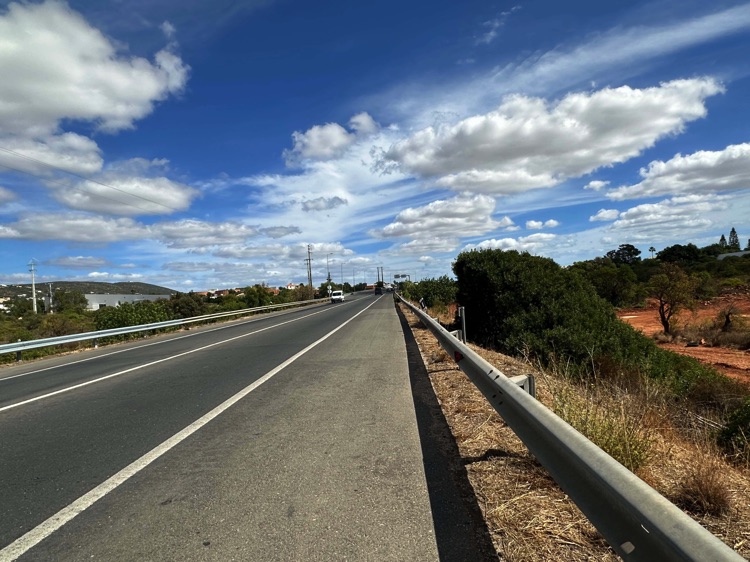
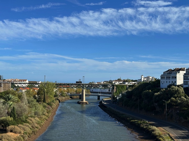
From Lagos, I pedaled east along the Algarve, passing through Portimão and crossing the Arade River bridge, amid open, flat landscapes and the constant sea breeze.
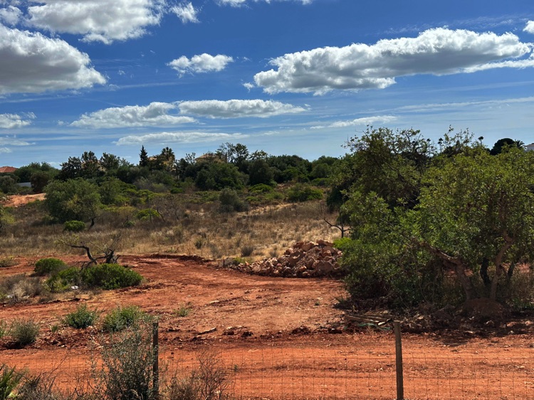
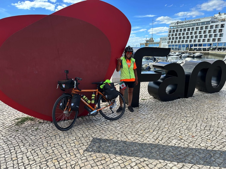
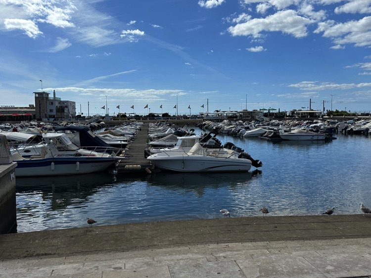
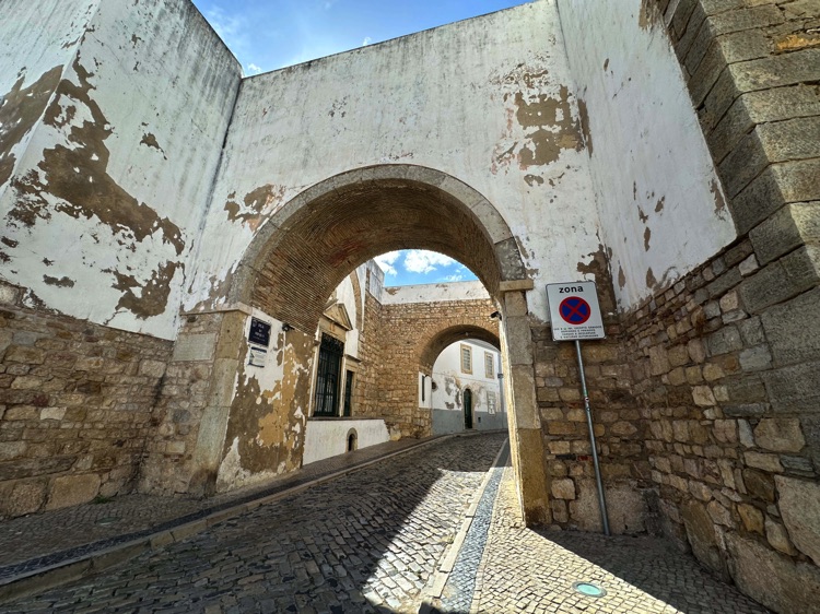
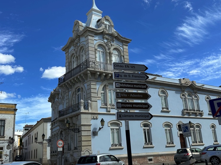
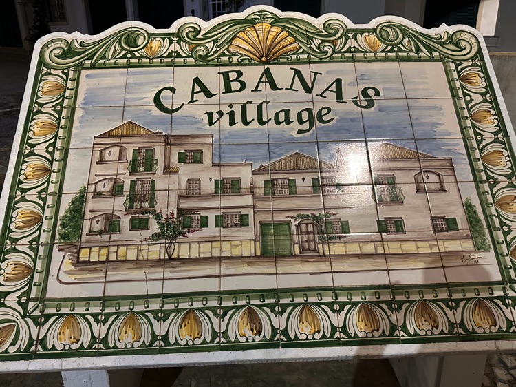
The Eastern Algarve is almost entirely flat, with sandy beaches, cultivated fields, and small coastal villages. I continued through Lagoa, Faro – the capital of the Algarve – and Olhão, reaching Cabanas de Tavira, a quiet former fishing village.
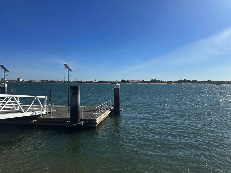
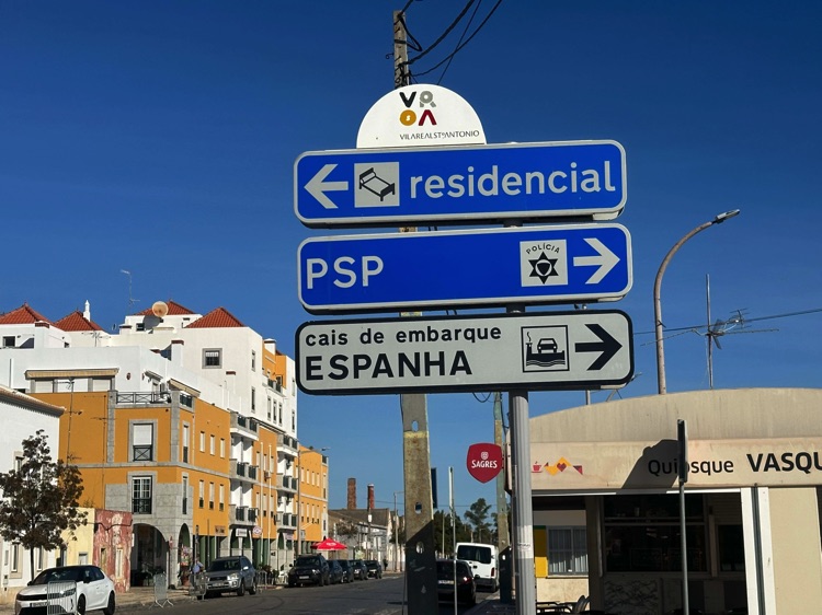
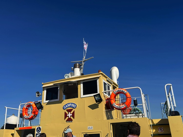
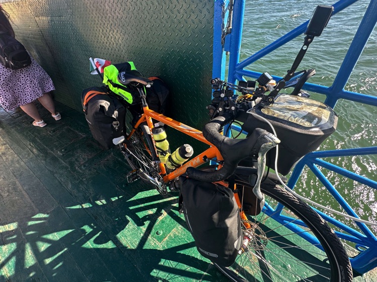
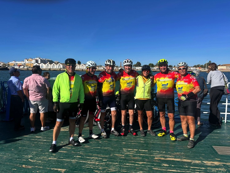
Approaching the Spanish border, the Guadiana River both separates and connects Portugal and Spain, leading to Vila Real de Santo António, perfect for the final Portuguese kilometers, before a short ferry ride took me to Ayamonte, the gateway to Andalusia and the start of the road toward Huelva.
🇪🇸 Stage 6 – Ayamonte to Tarifa: Crossing Andalusia and the Strait of Gibraltar
Overview
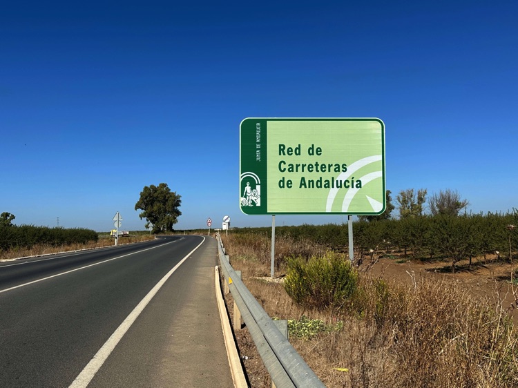
Entering Ayamonte from Portugal, I crossed into Andalusia, land of white villages, intense sun, and vibrant culture. The road took me through Huelva, with the Atlantic breeze and the scent of salt and citrus groves, all the way to the magnificent Seville.
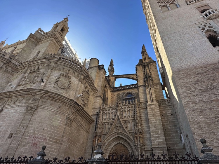
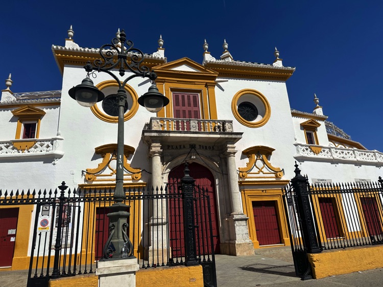
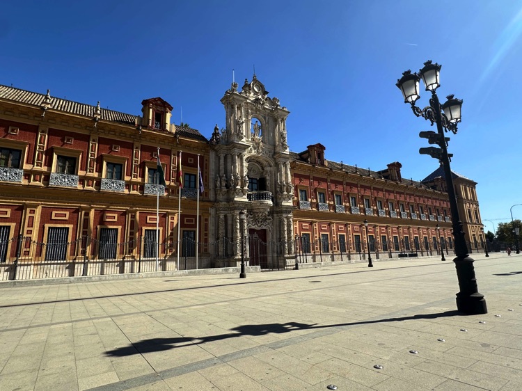
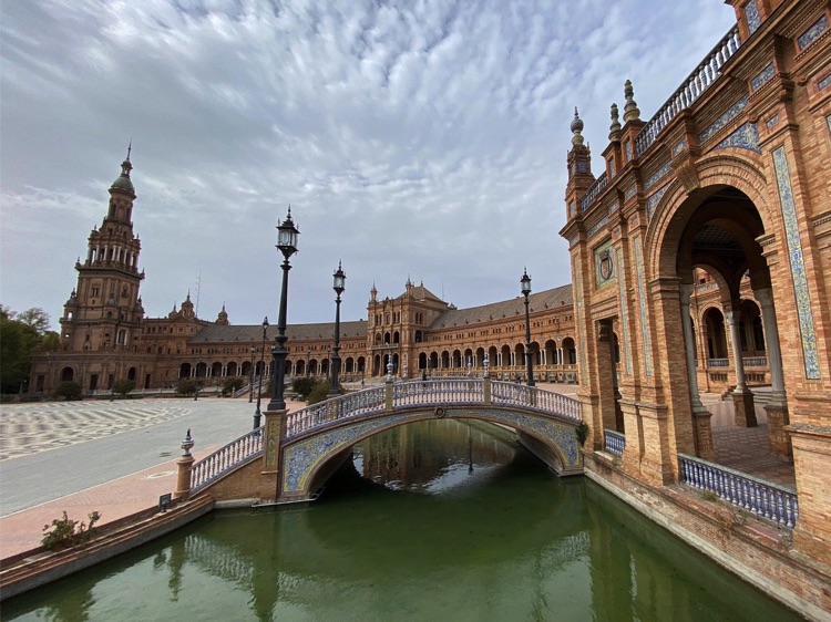
In the Andalusian capital, every corner tells a story: the Alcázar, the Cathedral, the alleys of Santa Cruz, the Plaza de Toros, and the Plaza de España turn every stop into a feast for the senses. Riding through sunlit streets, the city’s rhythm and history wrap around every pedal stroke.
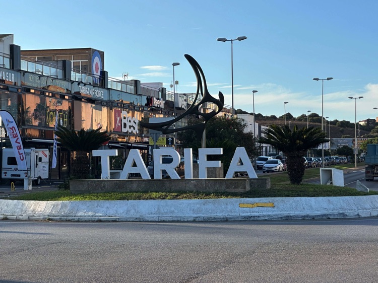
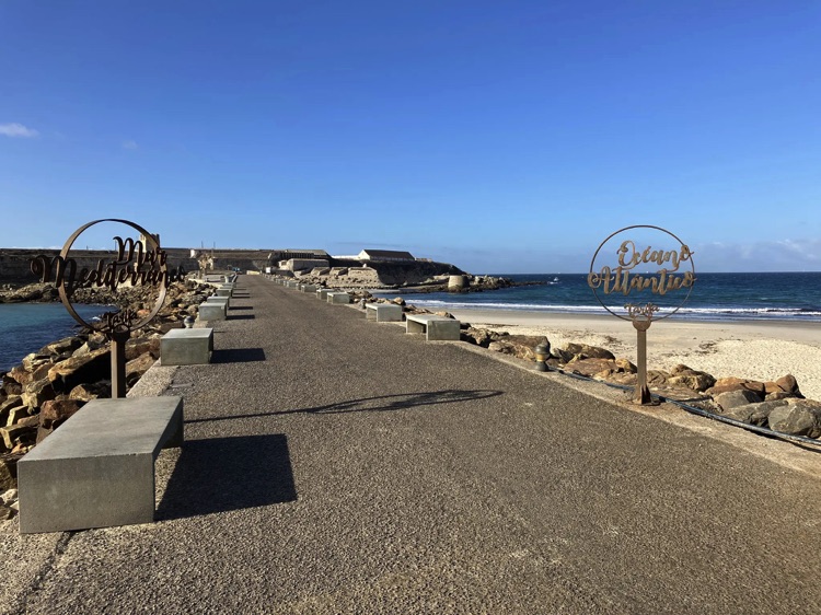
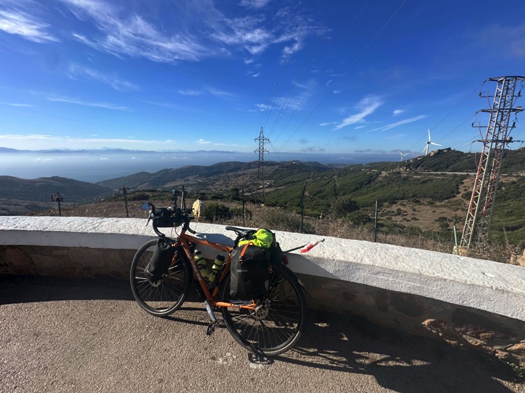
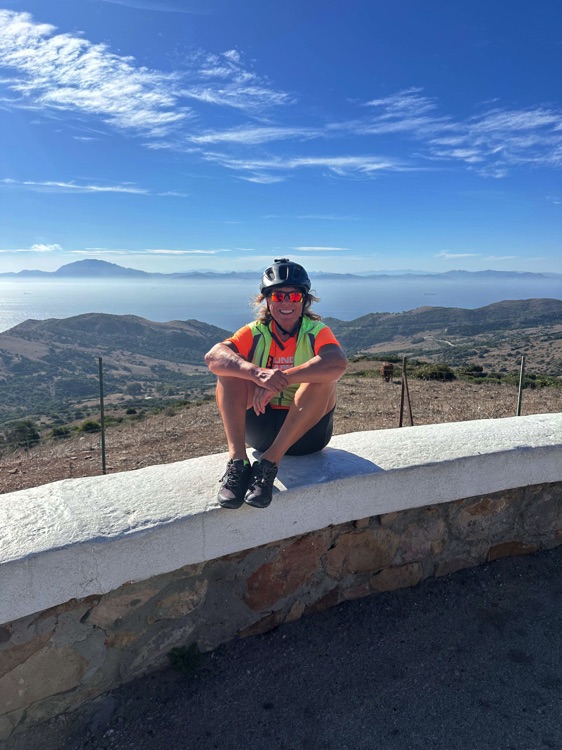
Heading south, the route culminates at Tarifa, the southernmost point of Europe. With the Atlantic wind at my backand Africa visible across the Strait of Gibraltar, this stretch represents a symbolic milestone and a unique thrill: the southern apex of my Iberian circumnavigation.
📌 Discover the full stage: route details and GoPro footage on the blog
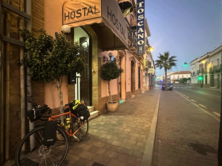
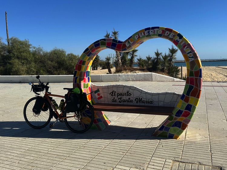
🇪🇸 Stage 6.1 – Ayamonte → El Puerto de Santa María (via Huelva and Seville)
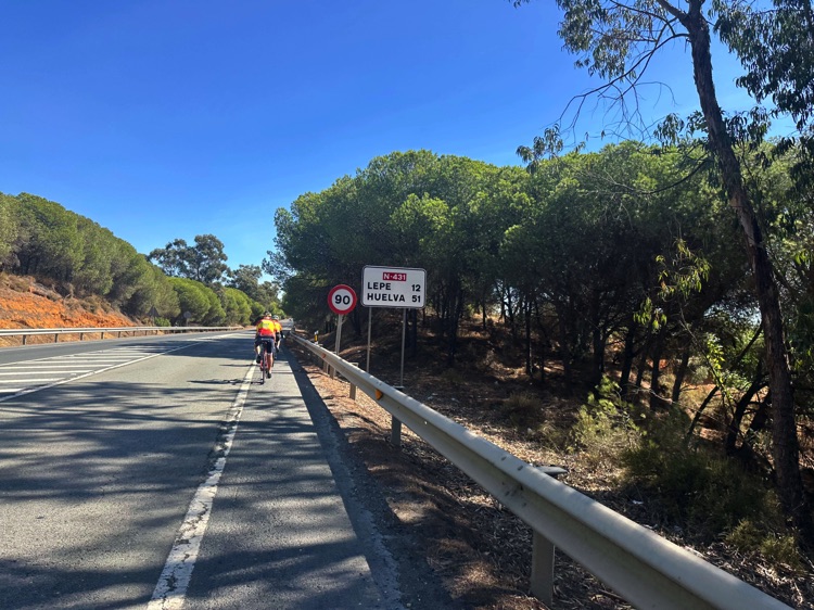
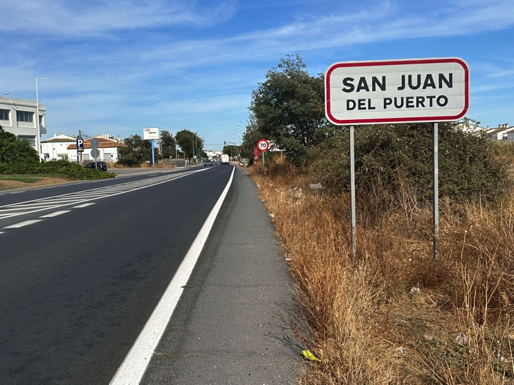
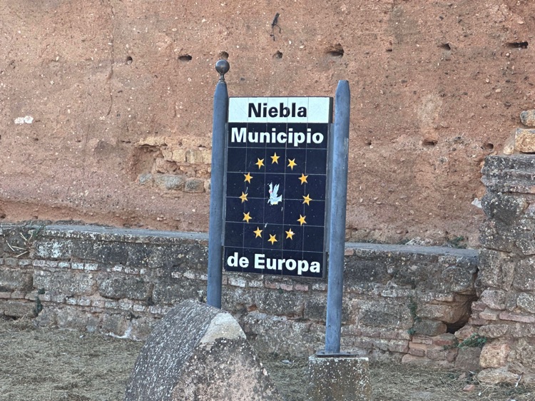
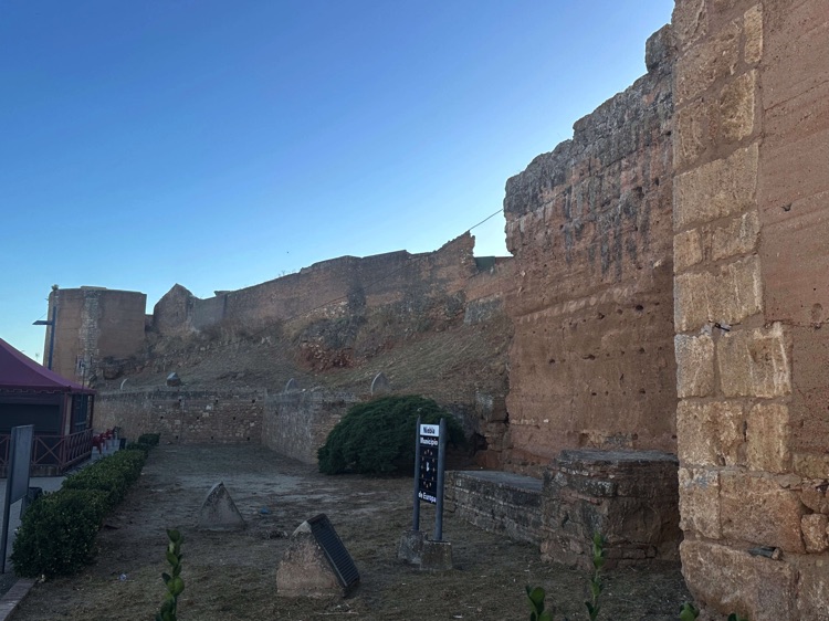
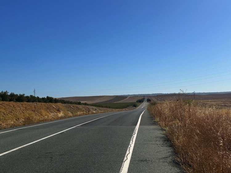
Leaving Ayamonte, I pedaled east along quiet agricultural roads, surrounded by citrus groves, olive trees, and sun-drenched fields. I passed through Huelva and the village of San Juan del Puerto along the Rio Odiel, then reached Niebla, with its imposing medieval walls.
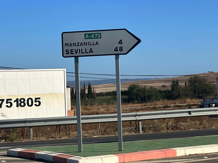
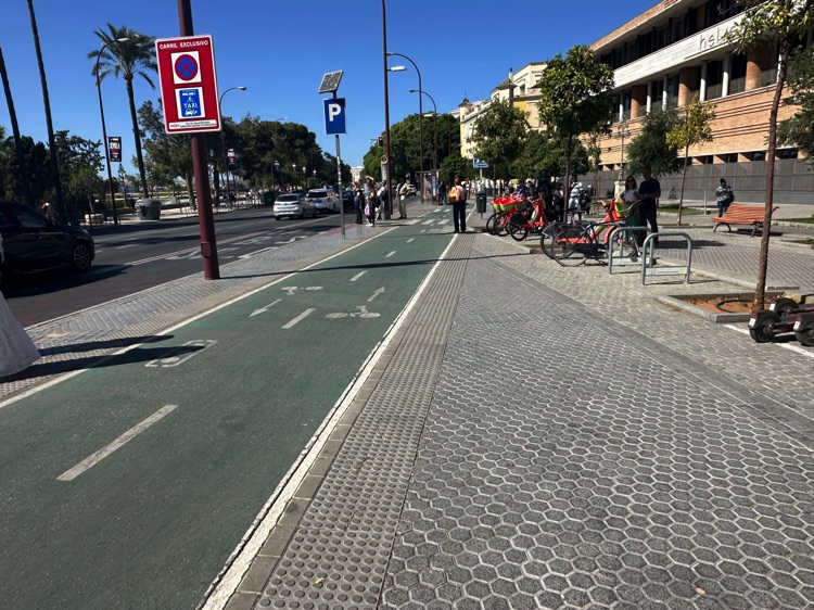
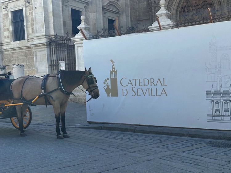
Continuing east, I arrived in Seville, cycling along the city’s bike paths and discovering its treasures: the Alcázar, the Cathedral with La Giralda, Santa Cruz, Triana, and the Plaza de España, where Andalusian life came alive amid arches, canals, and street musicians.
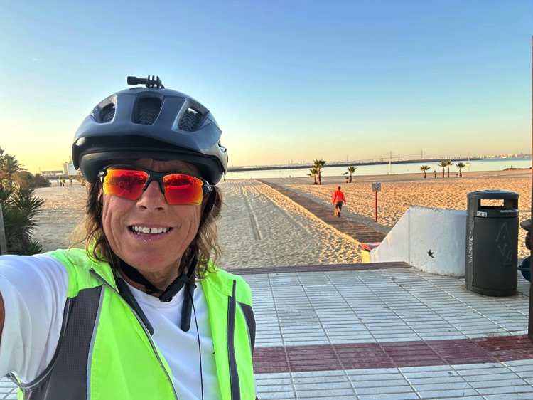
From the city, the coastal road in Cádiz province led me through dunes, rolling fields, and glimpses of the Atlantic, all the way to El Puerto de Santa María, a historic city tied to the voyages of Columbus.
🇪🇸 ➡️ 🇬🇮 Stage 6.2 – Southern Coast of Spain: Puerto Real → Tarifa (via Gibraltar, British Overseas Territory)
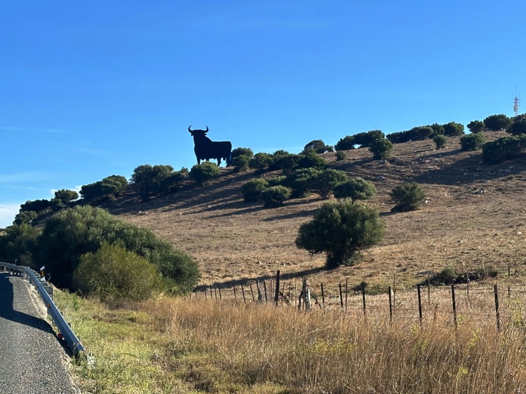
From Puerto Real, I continued south through salt flats, olive groves, and white inland villages like Vejer de la Frontera, constantly rewarded with new vistas of the Atlantic.
I passed through Chiclana de la Frontera, San Fernando, Rota, Chipiona, and Sanlúcar de Barrameda, reaching Conil de la Frontera and Barbate, amidst the cliffs and beaches of the Breña y Marismas del Barbate Natural Park.
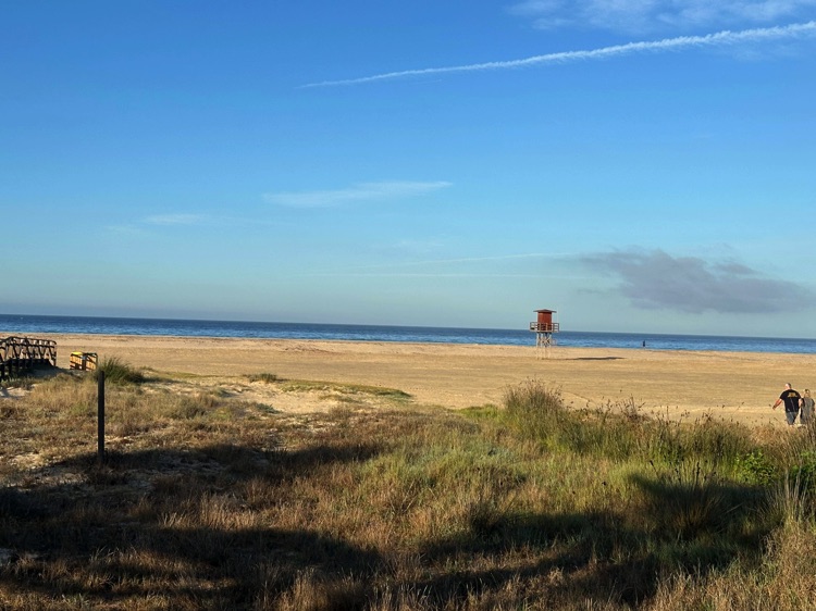
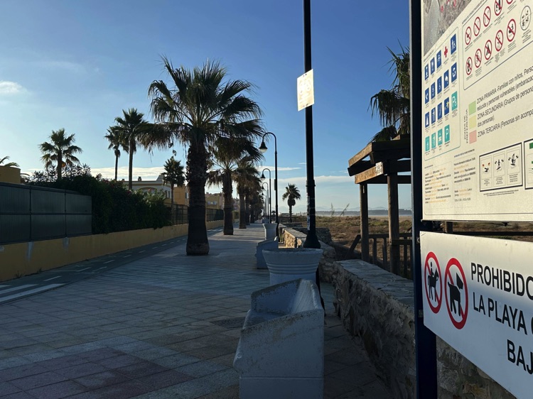
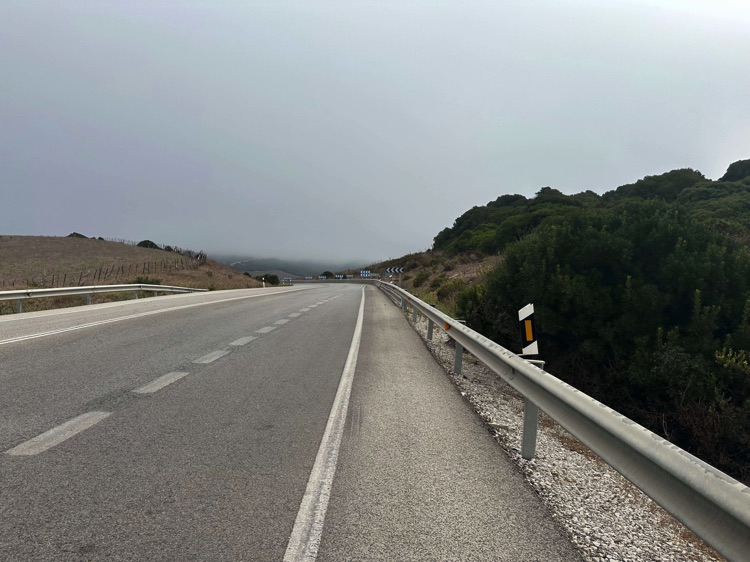
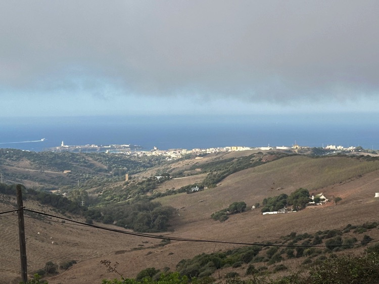
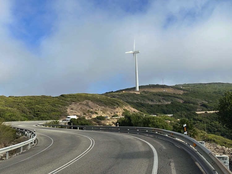
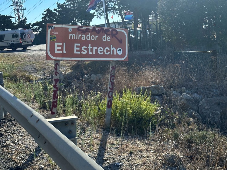
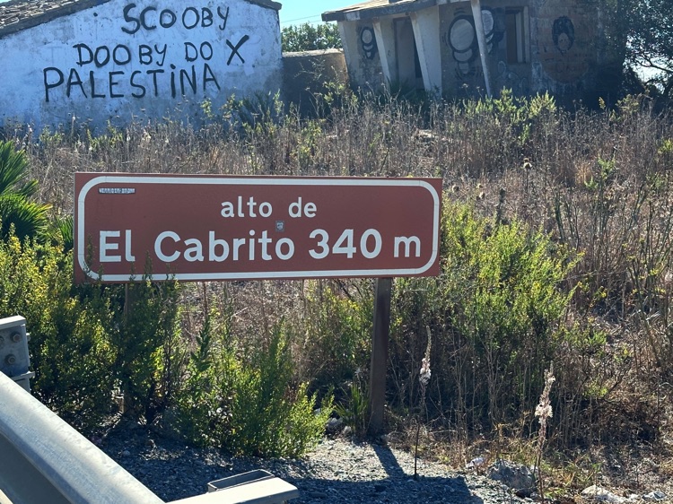
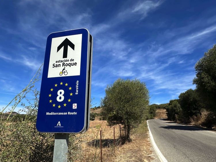
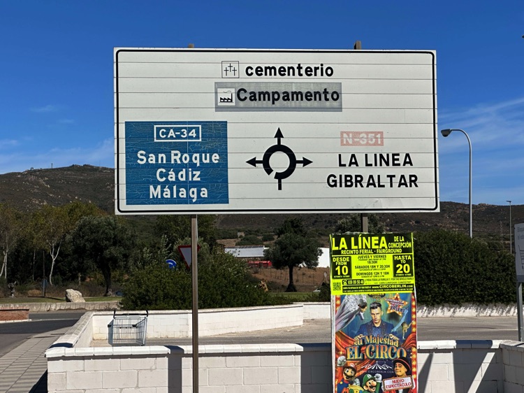
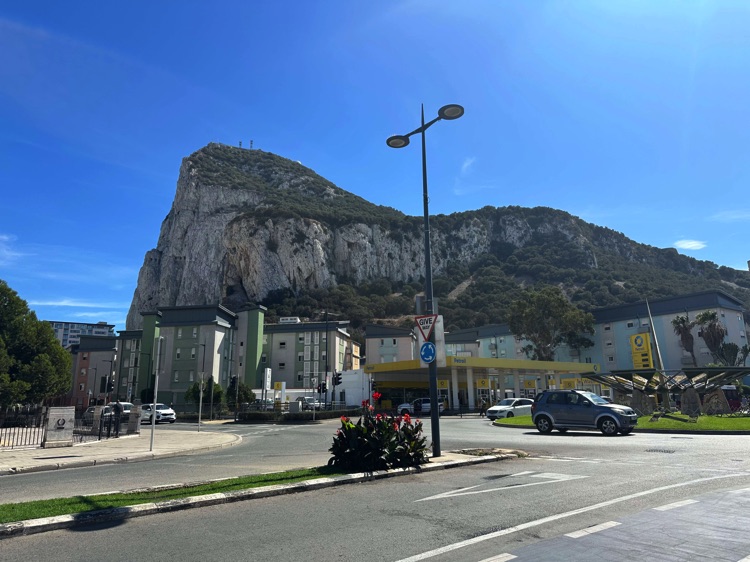
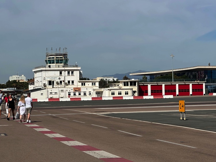
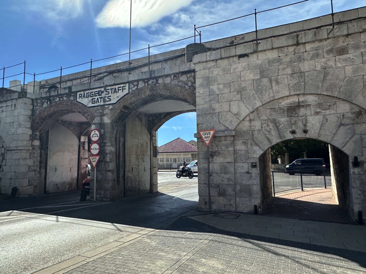
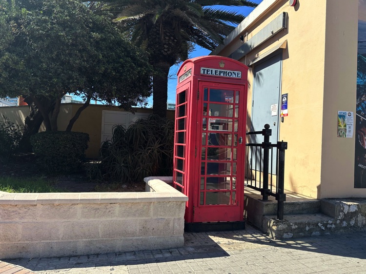
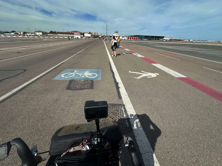
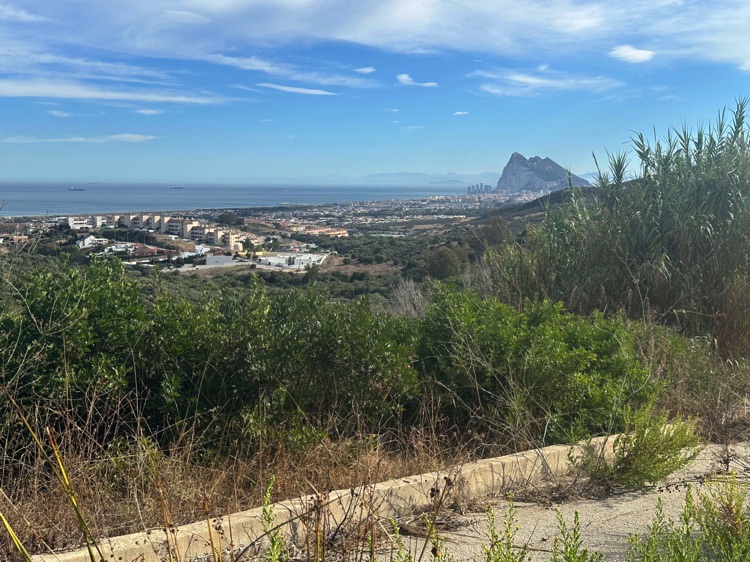
I crossed Zahara de los Atunes and Atlanterra before arriving at Tarifa, the southernmost point of Spain, where the Atlantic meets the Mediterranean. Continuing toward Algeciras, I reached La Línea de la Concepción, at the border with Gibraltar, the British Overseas Territory, where I took a brief pause before resuming my ride westward along the coast.
🇬🇮 ➡️ 🇪🇸 Stage 7 – From the Atlantic to the Mediterranean: Southern and Eastern Coasts of Spain
Overview
Turning towards the southern coast of Spain, I followed the broad lines of the sea. From the Costa de la Luz, overlooking the Atlantic, I entered the Costa del Sol, the sun-drenched heart of Mediterranean Andalusia, passing through iconic cities like Málaga and Marbella, where sun and sea set the rhythm of the days.
Heading east, the journey continued along the Costa de Almería, reaching Almería, and then across the Costa Cálidawith its historic Cartagena. Along the Costa de Valencia, I passed through Valencia, a vibrant and contemporary Mediterranean city.
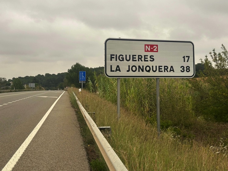
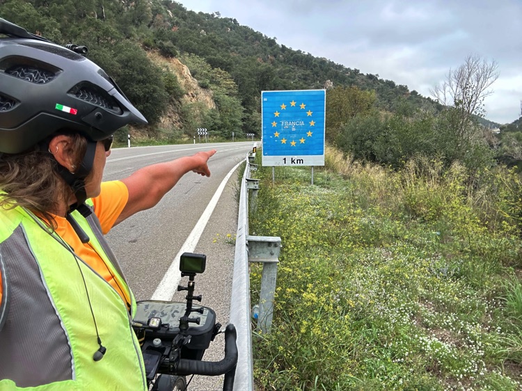
Further north, I cycled along the Costa Dorada, passing Tarragona, before entering Catalonia. Crossing Barcelona, perched on the sea and brimming with energy, the route continued along the Costa Brava to La Jonquera, at the foot of the Pyrenees, marking the border with France. Here I left Spain, closing the final major coastal stretch of my Iberian circumnavigation.
📌 Discover the full stage: route details and GoPro footage on the blog
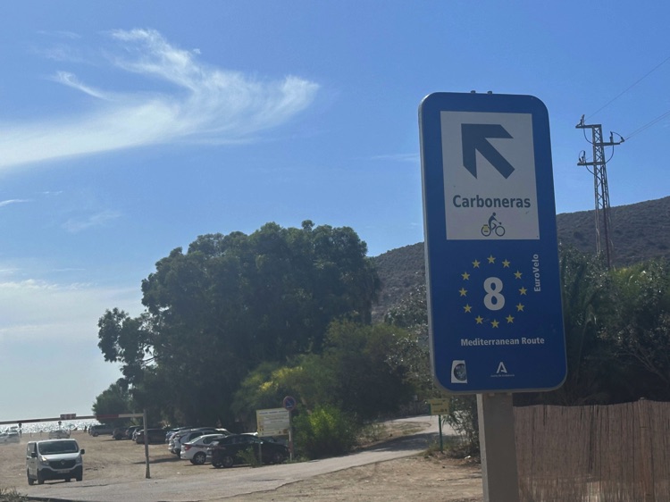
🇪🇸 Stage 7.1 – Mediterranean Coast of Spain: Gibraltar → Carboneras
Leaving Gibraltar, I entered the strait where the Atlantic and Mediterranean nearly touch, a symbolic beginning of the final major chapter of my Iberian journey.
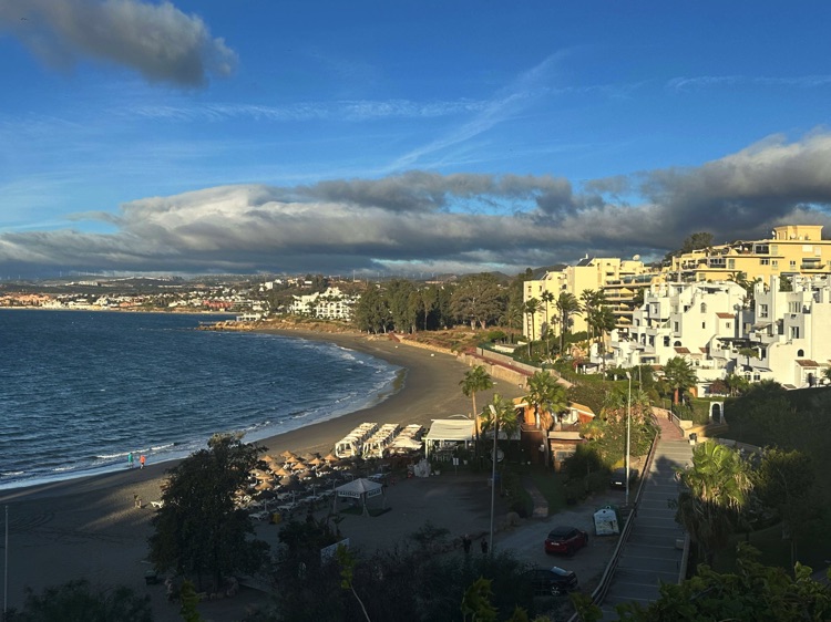
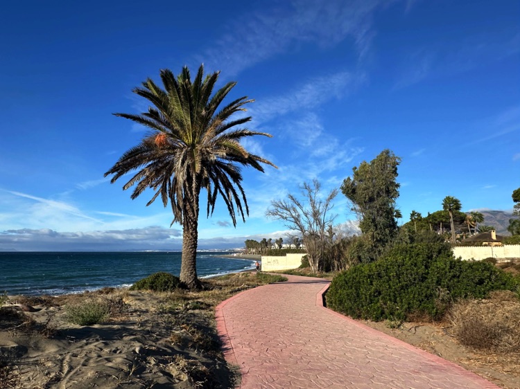
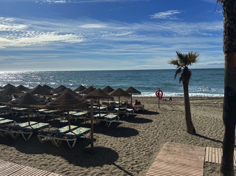
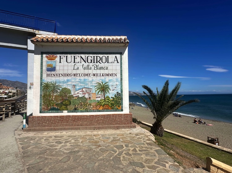
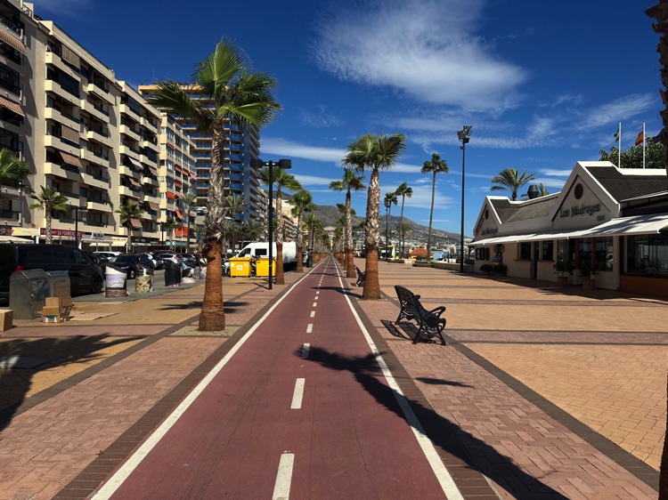
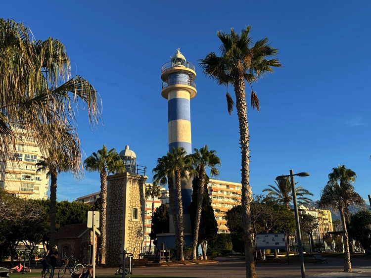
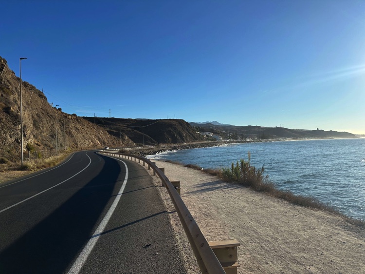
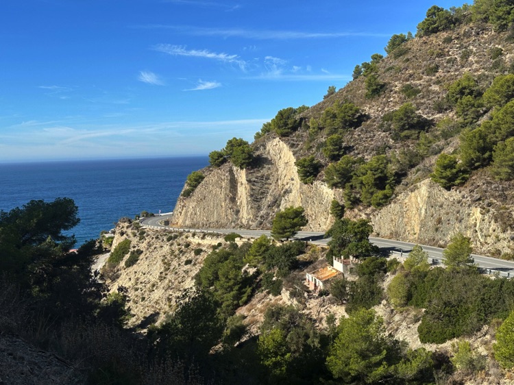
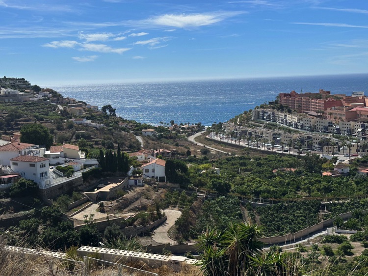
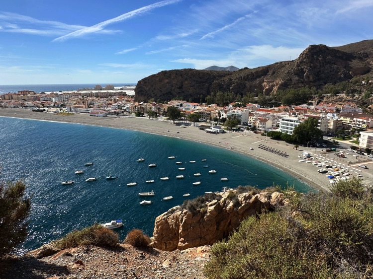
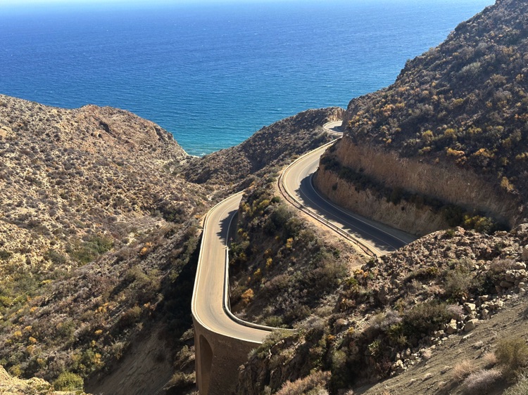
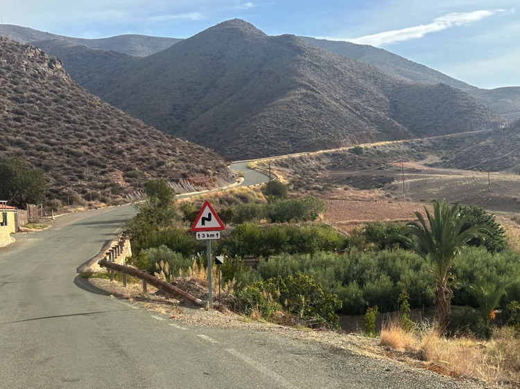
Following the coast eastward, the sea accompanied every pedal stroke along the Costa del Sol, through golden beaches, cliffs, and breathtaking panoramas, reaching the Costa de Almería, more arid and desert-like, dotted with coves and rocky inlets.
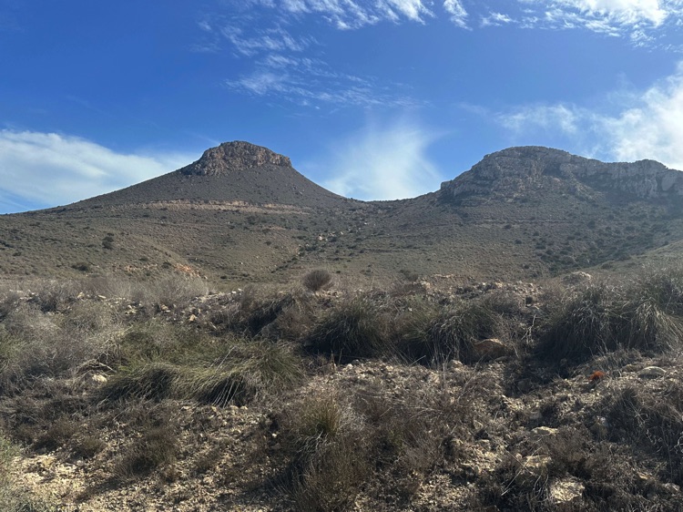
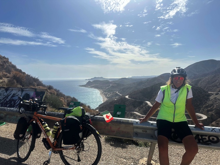
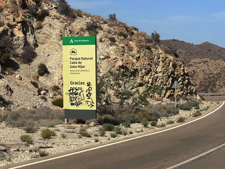
Crossing the Cabo de Gata-Níjar Natural Park, volcanic mountains plunged into the crystal-clear sea, while untouched beaches and small inlets alternated with quiet villages.
I finally reached Carboneras, with its small harborand golden beaches, where each pedal stroke became a moment suspended between nature, silence, and endless horizons, closing a memorable stretch along Spain’s Mediterranean coast.
🇪🇸 🌊 Stage 7.2 – Costa Blanca, Costa Daurada, Costa del Maresme, and Costa Brava: Carboneras → La Jonquera (Catalonia)
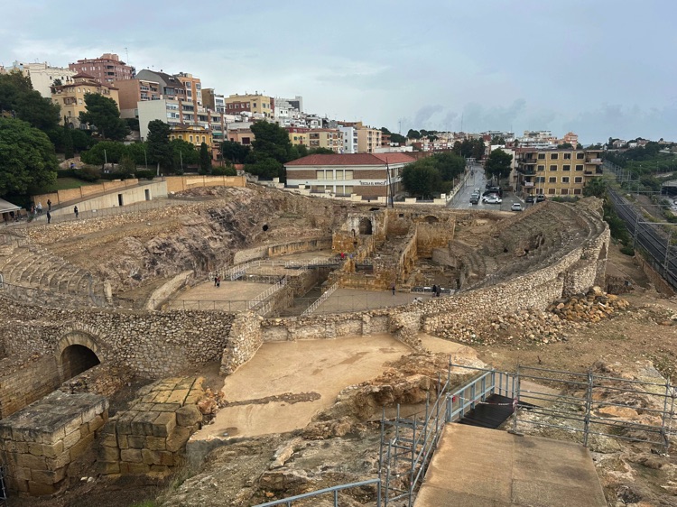
Continuing north along the Costa Blanca, hills and plains alternated with whitewashed villages until Valencia, while the Costa Daurada offered golden glimpses, and Tarragona displayed its imposing cathedral and Roman ruins.
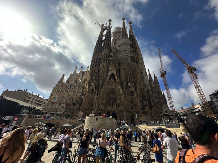
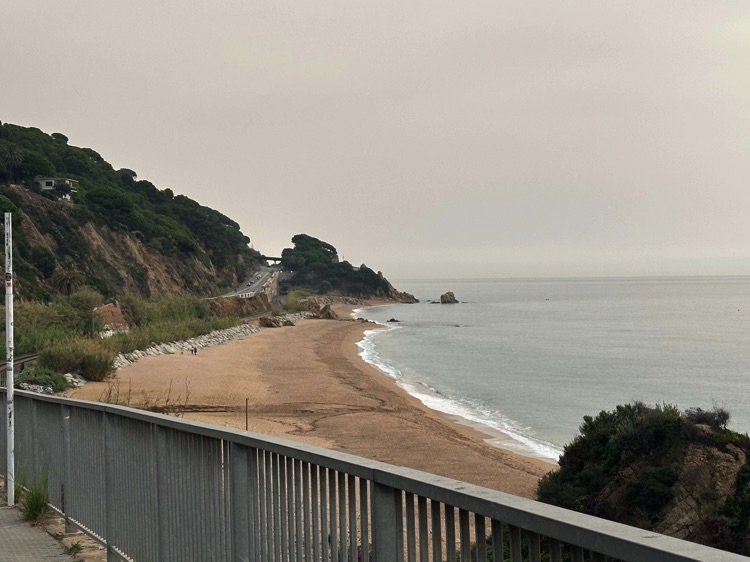
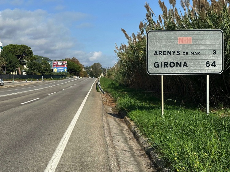
Cycling along some of Spain’s most iconic coasts, from the Costa Blanca to the Costa Brava, the rolling roads of the Costa del Maresme led to Barcelona, surrounded by sea, hills, and the masterpieces of Gaudí like Sagrada Família and Parc Güell.
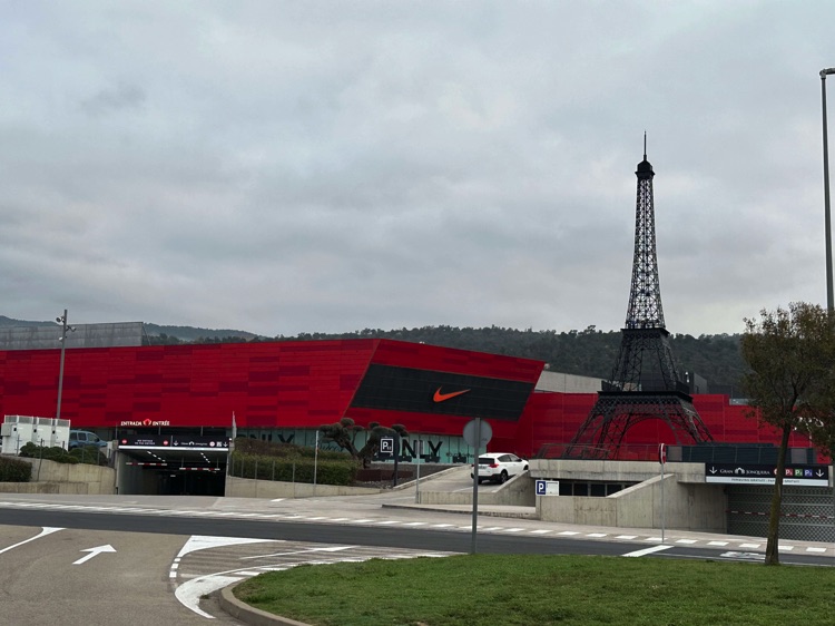
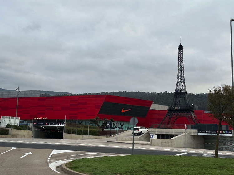
Finally, the ups and downs of the rugged Costa Brava guided me to La Jonquera, just steps from the French border. Every turn told a story: the sea changing shades, ancient ports, whitewashed villages, and lively towns.
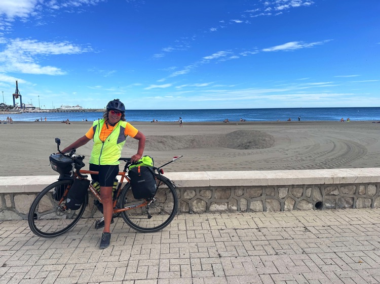
A vast and challenging route, yet in that moment, it felt simple: just me, my bicycle, and the endless blue horizon that had accompanied my entire Iberian circumnavigation.
🇫🇷 ➡️ 🇮🇹 Stage 8 – From La Jonquera to Ventimiglia: Closing the Tour
Overview
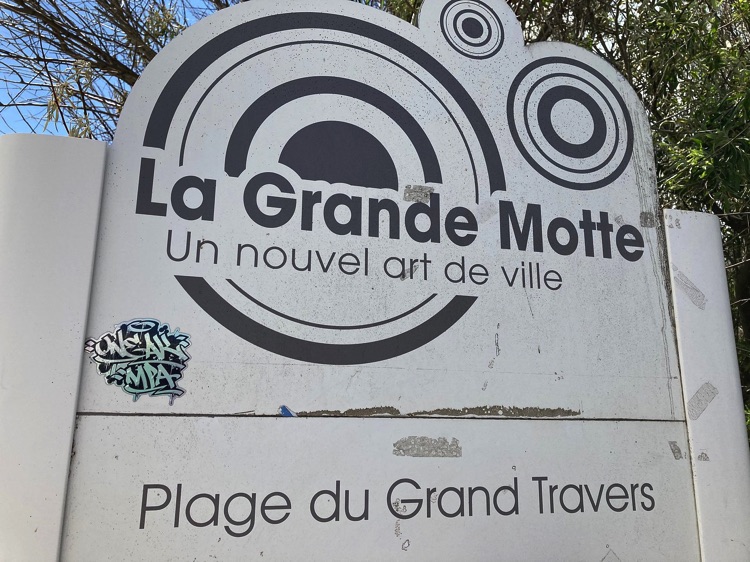
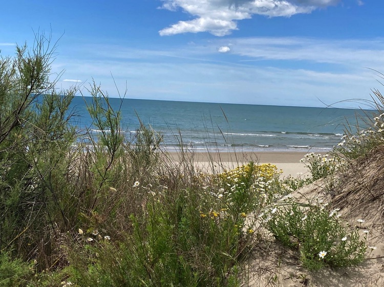
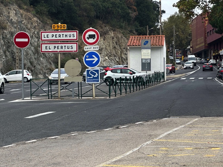
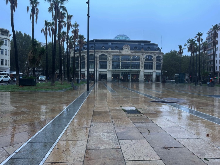
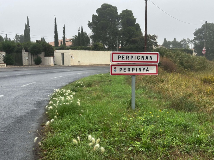
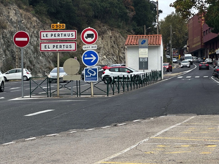
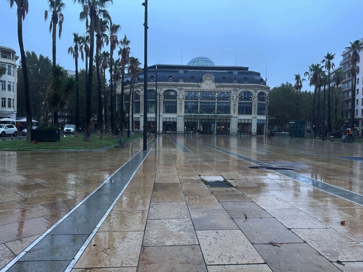
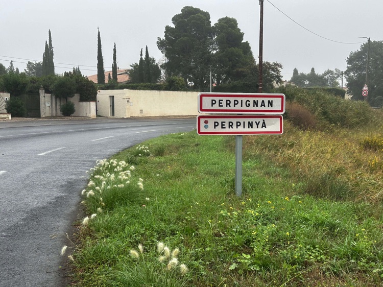
Crossing the border from La Jonquera to Le Perthus, I returned to follow the Mediterranean, revisiting Le Barcarès, where it all had begun. Along the EuroVelo 8 – Mediterranean Cycle Route, I passed through Perpignan, Fleury, Narbonne, Sète, and La Grande-Motte, reaching La Grau-du-Roi, the gateway to the Camargue.
I ventured into the inland, through marshes, salt flats, and small villages, touching Saint-Gilles, Arles, Aix-en-Provence, and Brignoles, among vineyard-covered hills and pine forests. Crossing the Forêt Communale de Fréjusand the Route de Cannes, I tackled the Col du Testanier before descending again toward the French Riviera.
From Cannes to Nice, along the Grande Corniche, and passing through La Trinité and La Turbie, I enjoyed breathtaking sea views all the way to Menton. Finally, re-entering Italy, the Italian Riviera unfolded before me, completing the loop in Ventimiglia, where my Iberian circumnavigation came to an end. A journey between sea and mountains, climbs and descents, encounters and endless panoramas, destined to remain forever in memory.
📌 Discover the full stage: route details and GoPro footage on the blog
🇪🇸 ➡️ 🇫🇷 Stage 8.1 – La Jonquera to Provence: French Riviera and Inland to Col du Testanier
Leaving La Jonquera, I crossed the French border through Le Perthus, revisiting places I had passed before, but under a new light. Following the French Riviera, I cycled past shimmering seas, golden beaches, and coastal villages, skimming Perpignan, Le Barcarès, and Sète, where lagoons and canals created almost surreal landscapes.
I then ventured into the Provence hinterland, among hills, vineyards, and authentic villages, reaching historic townslike Arles, rich in Roman heritage and Provençal atmosphere.
Quiet roads and airy panoramas accompanied every pedal stroke, leading to the Col du Testanier (311 m), a mountain pass in the Estérel Massif of the Provence region.
The climb, about 5.3 km long with 248 meters of elevation gain and an average gradient of 4.7%, winds through Mediterranean scrub, among pines and deep silences, offering views of the Provençal hills and, in places, the distant Mediterranean.
🇫🇷 ➡️ 🇮🇹 Stage 8.2 – From Col du Testanier to Ventimiglia: French and Italian Riviera
From the Col du Testanier, after a steady climb through the Mediterranean scrub, a long descent brought me back to the French Riviera, reaching Cannes, then continuing through Nice along the Promenade des Anglais, surrounded by sea, light, and vibrant atmosphere.
To avoid retracing the same coastline already covered on the way out, I chose a more challenging but entirely rewarding alternative: the scenic Grande Corniche, ascending through La Turbie, perched like a natural terrace above Monacoand the Mediterranean, offering breathtaking views of the Côte d’Azur.
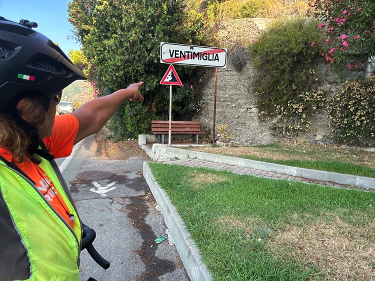
The final descent carried me along the French Riviera, passing Menton, to the Italian border and Ventimiglia, gateway to the Liguria Riviera, where the journey concluded exactly where it began.
An intense and unforgettable route: the perfect closing of an adventure between the Mediterranean and the Atlantic, full of landscapes, challenges, and freedom. 💛
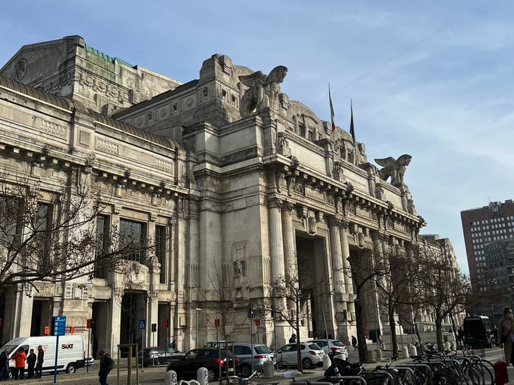
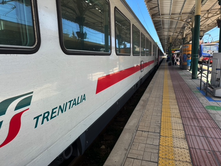
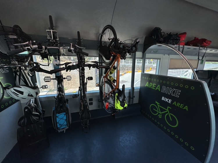
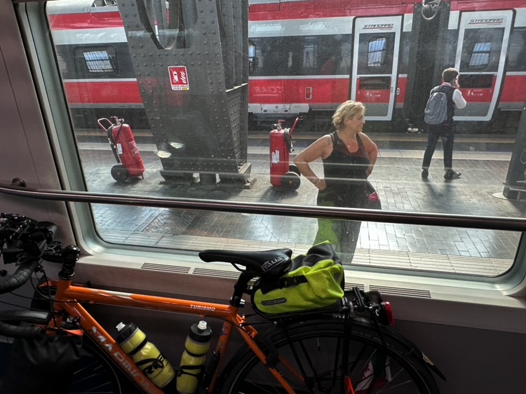
🇮🇹 Stage 1 – From Milano Centrale to Ventimiglia: The First Pedals of the Journey
Overview
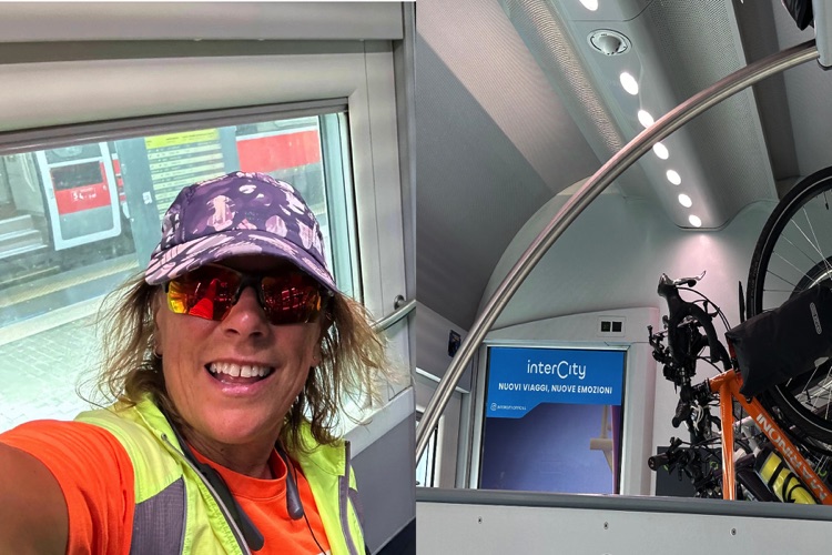
The journey began in Milan, full of excitement and anticipation. I was accompanied to the train station, where the trip officially started.
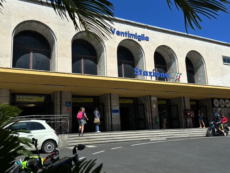
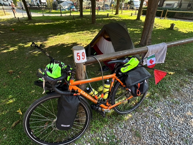
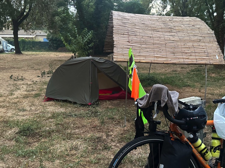
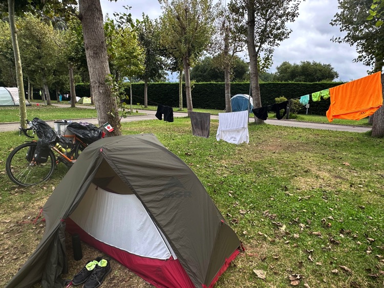
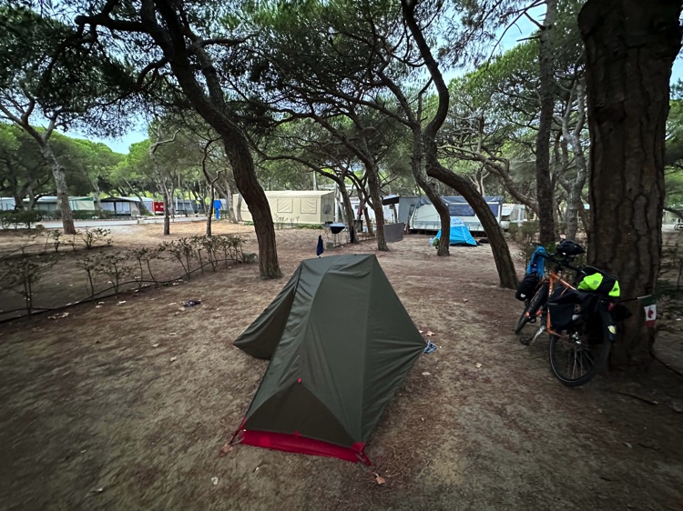
After a few kilometers, I arrived in Ventimiglia, overlooking the Liguria Riviera, and reached Camping Roma, a peaceful oasis on the border with France.
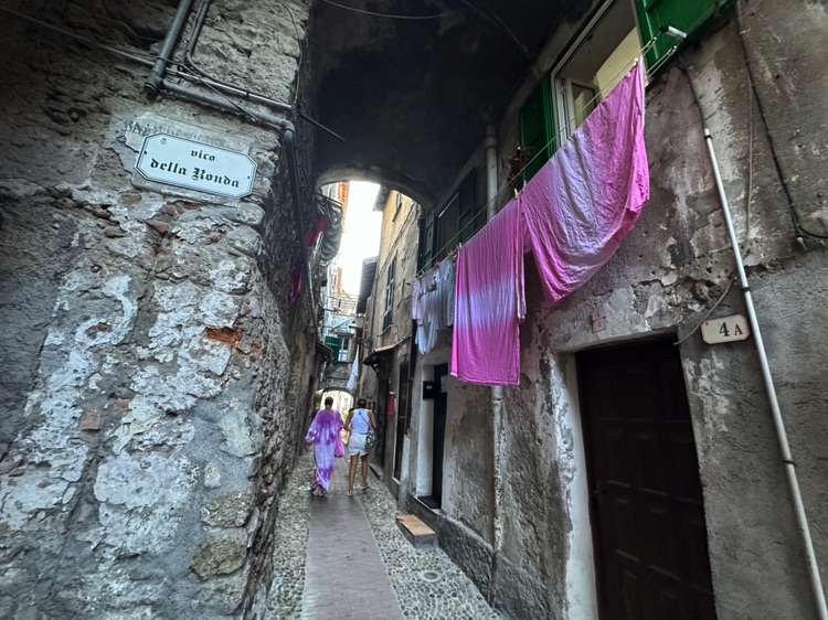
Later, I walked up to Ventimiglia Alta, a medieval village perched above the sea. Between narrow streets and glimpses of the Mediterranean, the journey truly began, with the promise of new landscapes and adventures beyond the border.
📌 Discover the full stage: route details and GoPro footage on the blog.
📌 Route Details
• Start 🚩: Ventimiglia, Italy
• Finish 🏁: Trieste, Italy
• Countries Crossed 🌍: Spain, Portugal, France, Italy
• Direction 🔄: Counterclockwise
• Distance 🚴: 5,714.23 km
• Daily Average 📊: 95.24 km/day
• Duration 🗓: 60 consecutive days (no rest days), August 22 – October 20, 2025
📌 Interview
• My Travel Interview 📝: Questions and answers told by me – Coming soon
📌 Video & Blog
• Footage 🎥: GoPro
• Blog 📖 🎥: Read the blog and relive every pedal with the GoPro action camera
📌 Maps
• Map Archive 📍: Daily map archive
• Complete Route Map 📍: View full map
🇵🇹 Stage 5.5 – Tróia Peninsula → Lagos
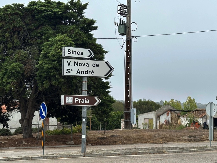
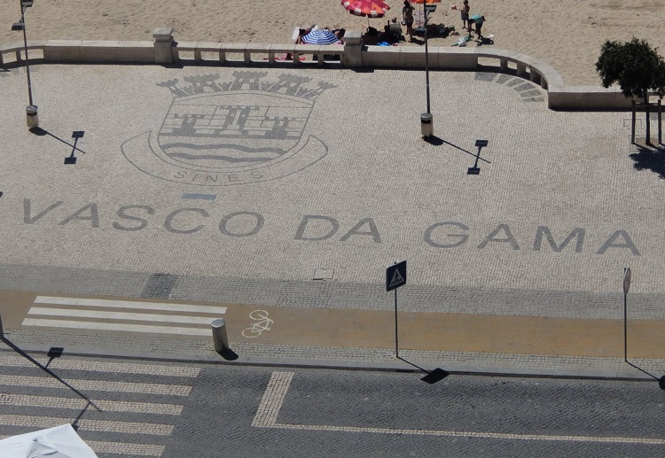
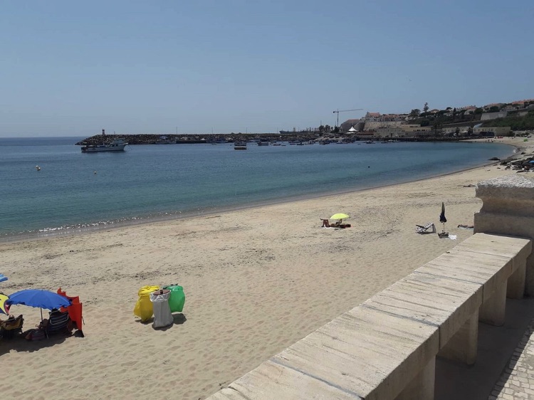
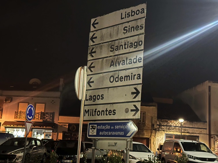
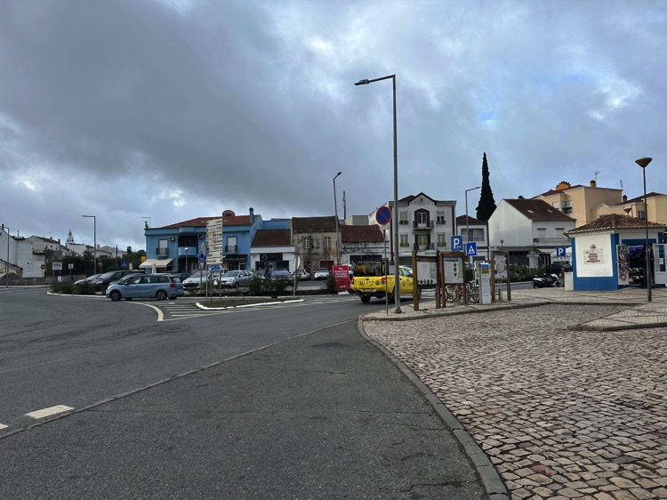
From Tróia, I followed the wild Alentejo coast to Sines, birthplace of Vasco da Gama. Continuing south, I passed through Cercal do Alentejo and Vila Nova de Milfontes, along the Mira River, between ocean winds and open landscapes.
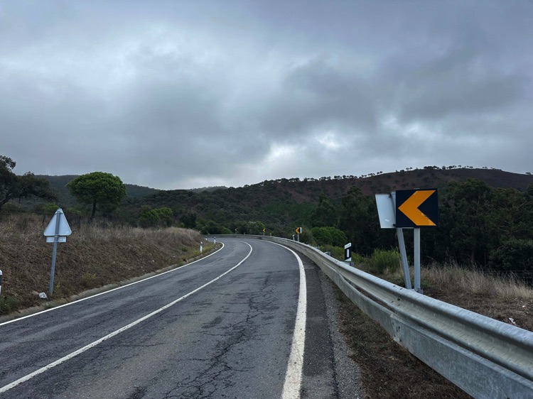
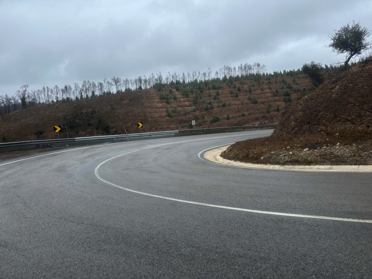
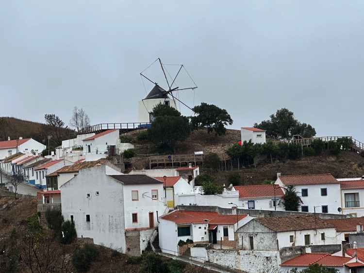
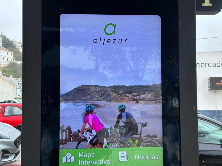
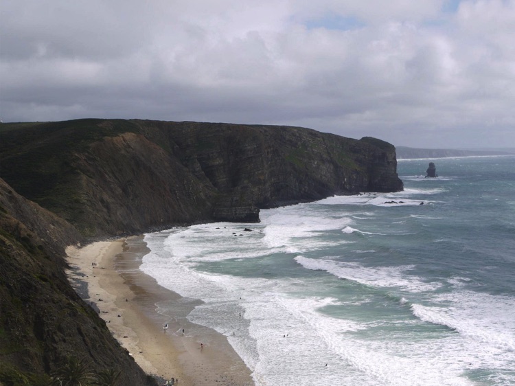
Beyond Odeceixe, among whitewashed houses, cork trees, and olive groves, I reached Aljezur, in the heart of the Costa Vicentina Natural Park. Here, I left the coast to explore the Algarve hinterland, passing through Bensafrim and Budens.
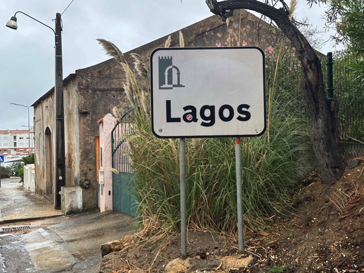
The final descent brought me back to the sea, to Lagos, among golden cliffs, sea caves, and natural arches, where the city still echoes the spirit of Portugal’s great explorations.