
Cycling Route from Dongo to Rifugio San Jorio – Lake Como, Lombardy, Italy
The beautiful cycling route from Dongo to Rifugio San Jorio is a complete adventure for those who love mountains, nature, and spectacular landscapes.
The climb combines paved and gravel sections, alpine villages, forests, and historic mule tracks, offering an intense yet deeply rewarding experience. The ride is out-and-back, allowing you to discover the valleys, mountains, and Lake Como, nestled in the stunning Lombardy region, from multiple perspectives.
Start – Dongo
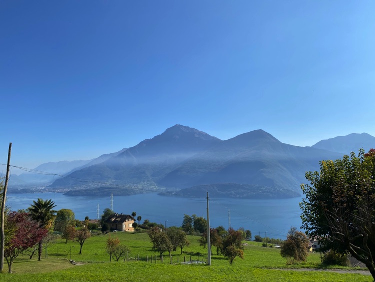
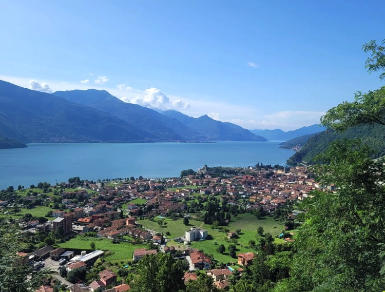
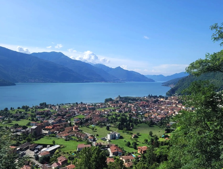
Dongo is a village nestled between Lake Como and the surrounding mountains, at the mouth of the Albano stream. Dominated by Monte Legnone, the highest peak in the area at 2,609 meters, it is the tallest mountain in the province of Lecco and one of the highest in the western Orobie Alps near Lake Como.
This charming village is rich in history and nature: in 1945, Mussolini was captured here, marking the end of the Fascist era. From Dongo starts one of the most fascinating climbs in Alto Lario, leading up to Rifugio San Jorio, with effort, breathtaking views, and alpine villages along the way. This ride is perfect for those seeking adventure, history, and nature, traveling out and back along the same road.
Starting the Ride – Statale Regina and Santuario Madonna delle Lacrime
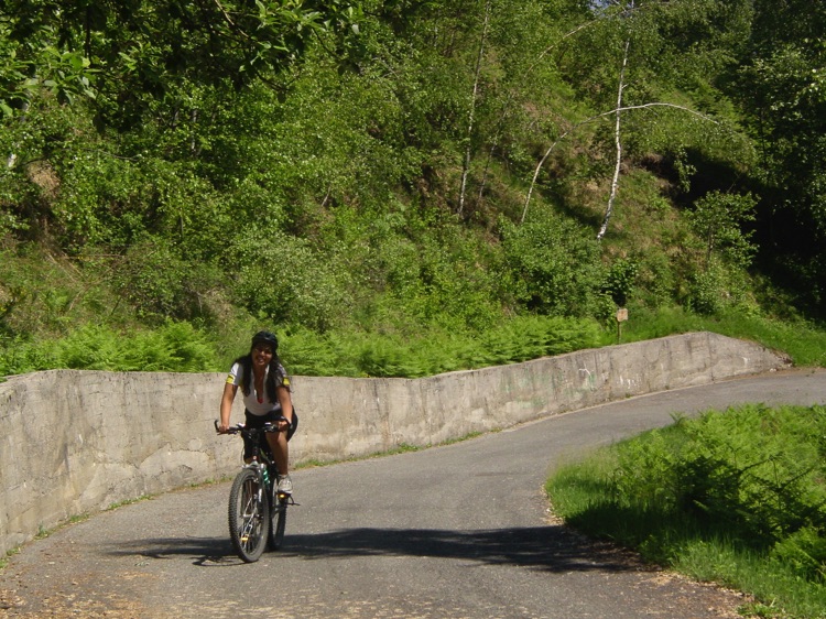
The ride begins at the Santuario Madonna delle Lacrime, along the Statale Regina in the center of Dongo. After admiring the sanctuary, turn right following the signs for Stazzona – San Jorio, and the climb begins immediately, with Lake Como and the Valtellina behind you.
Stazzona – The Balcony over Dongo and the Lake
Stazzona is a small hillside village. The road passes through the village houses, slowing the ride and offering a unique panorama over the Dongo plain and the opposite shore of the lake.
Germasino – Silence and Mountains
Continuing, you reach Germasino, a quiet village perched on the hills above the lake. The road maintains a steady gradient, while the effort of the climb is balanced by the silence and beauty of the surrounding mountains.
Garzeno – The Last Inhabited Village
You arrive at Garzeno (662 m a.s.l.), the last inhabited village before the highest part of the climb. Beyond the village, the road enters the forests and becomes more challenging.
Through Forests, Chalets, and Panoramas
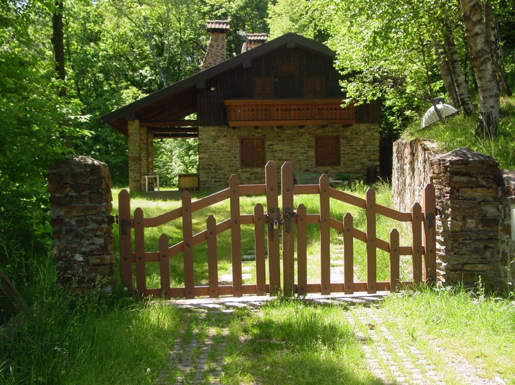
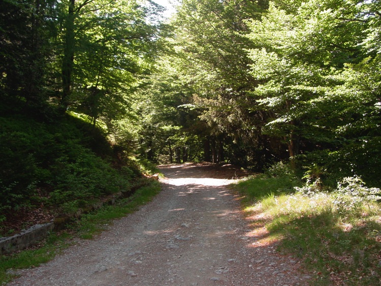
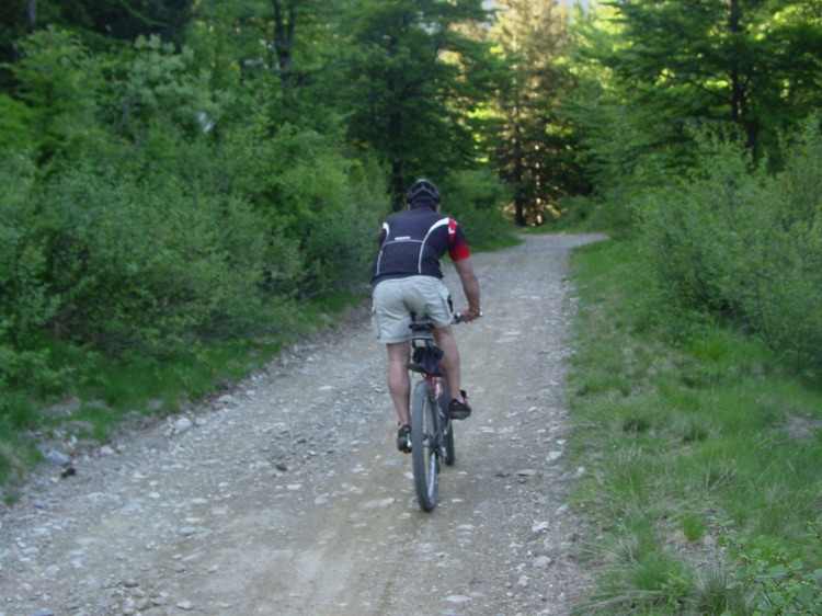
After Garzeno, the road passes through chestnut forests, with regular hairpin bends climbing the slopes. At each curve, stunning views open up: valleys, isolated chalets, wooded slopes, and glimpses of Lake Como. As you climb higher, the forest becomes mixed: beeches, maples, and some conifers accompany the ride, while clearings and small terraces provide rarely seen scenic views.
Gravel Mule Track with Curves and Fountain
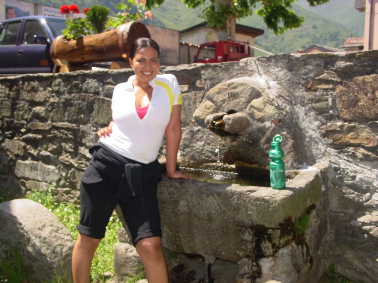
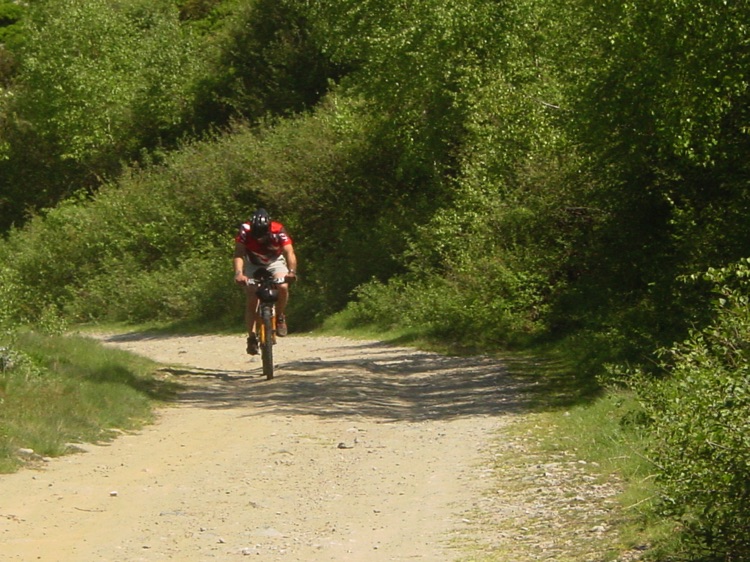
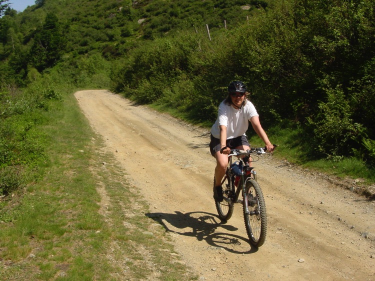
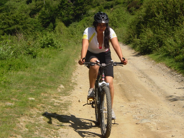
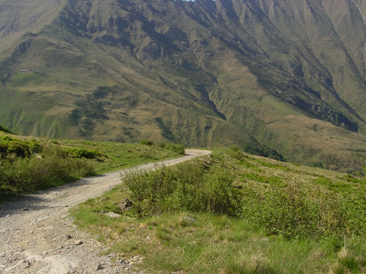
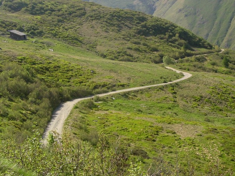
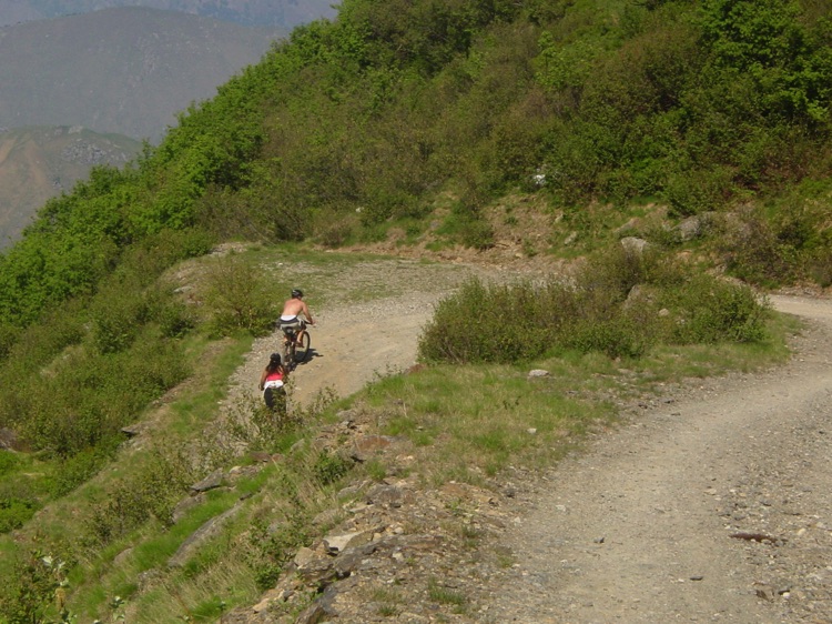
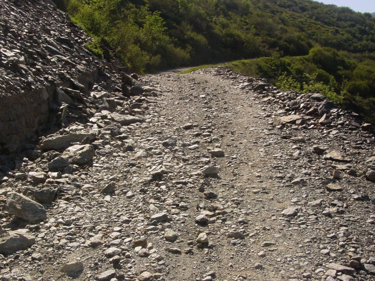
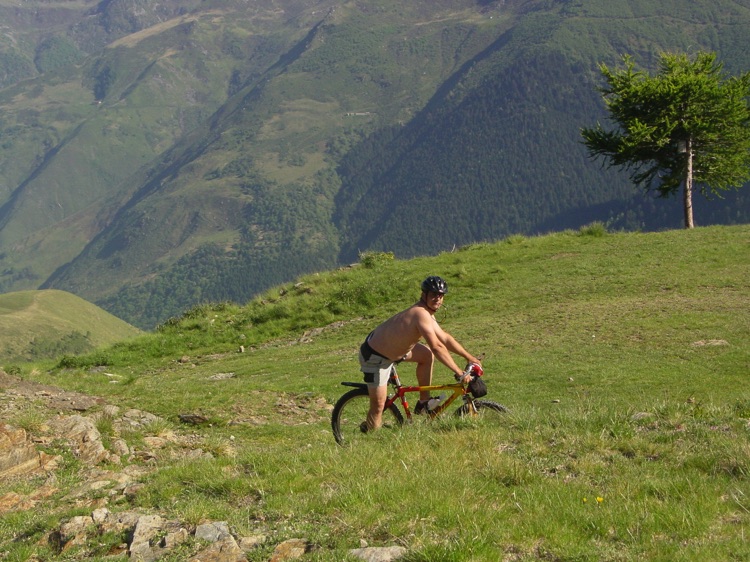
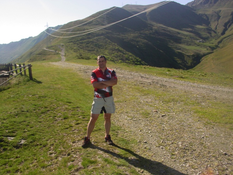
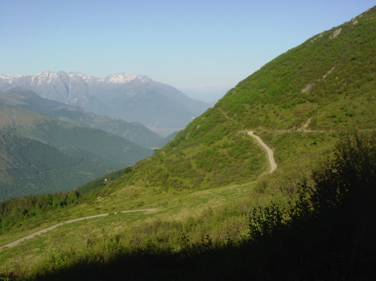
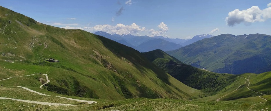
After the Church of Sant’Anna, the road leaves the asphalt and becomes a gravel track, partly following an ancient mule trail. This section, with curves and switchbacks, climbs the wooded slopes and offers breathtaking views of the valleys, chalets, and the distant lake. The vegetation gradually changes: chestnuts and beeches give way to firs, larches, and pines, along with alpine grasses and small shrubs typical of higher altitudes. A small mountain fountain along the way is perfect to refill your water bottles before the final meters toward the refuge.
Arrival at Rifugio San Jorio – Monte Giovo Ridge
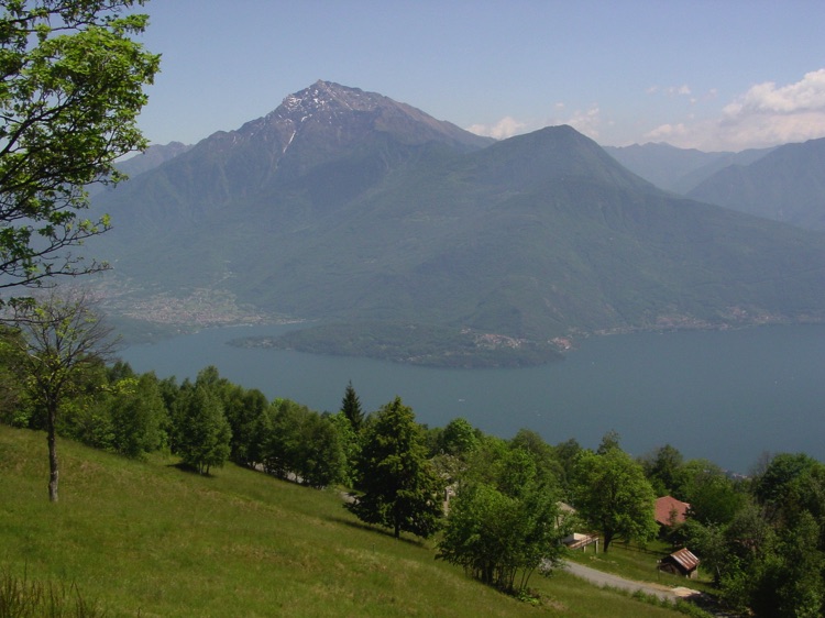
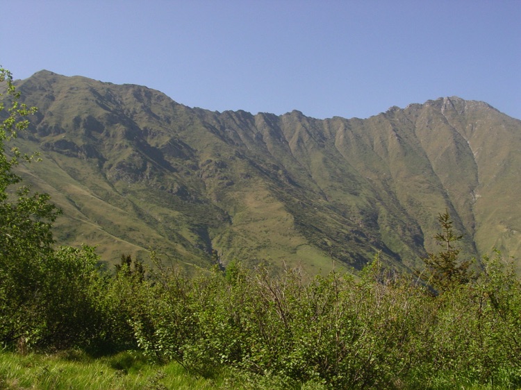
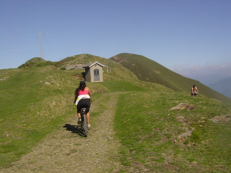
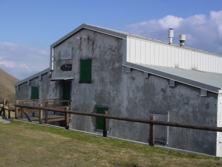
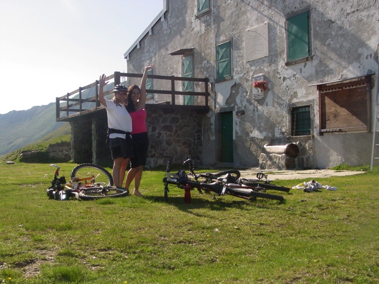
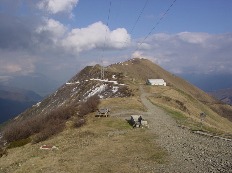
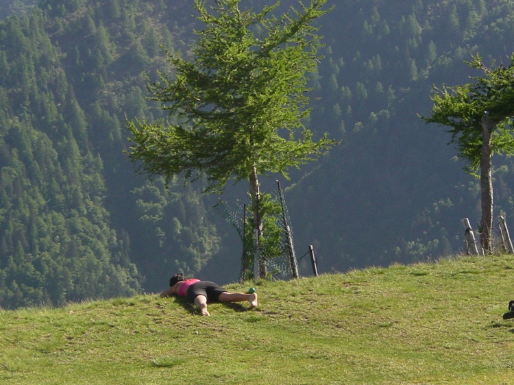
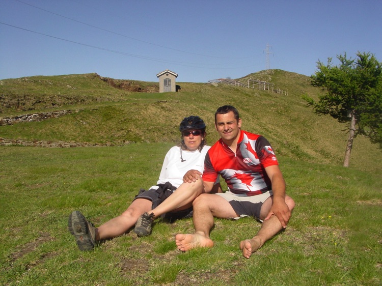
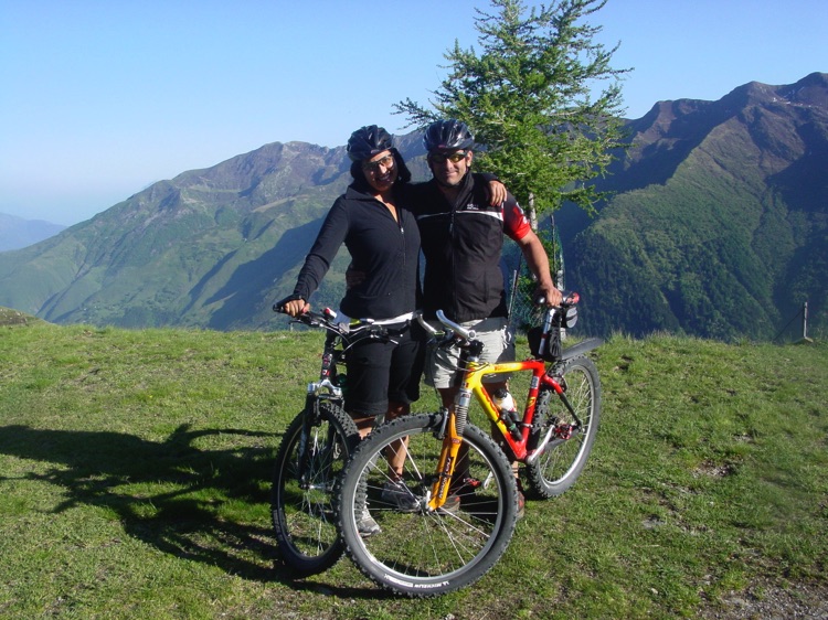
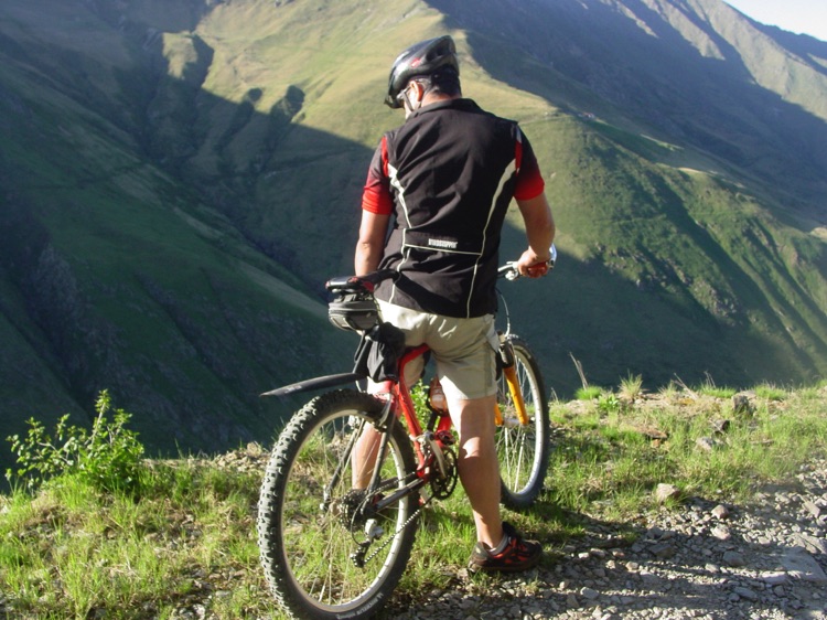
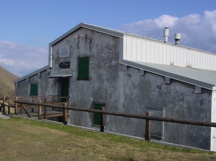
Arriving at Rifugio San Jorio, situated on a ridge of Monte Giovo just below Passo San Jorio, the panorama is spectacular. The refuge was closed when we arrived, but the 360° view made up for it: Monte Legnone, Legnoncino, Monte Crocetta, Monte Bregagno, the valleys below, and on clear days, the Swiss peaks of Canton Ticino.
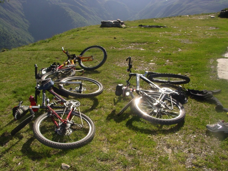
The alpine vegetation completes the scene: firs, larches, and pines dot the ridge, while alpine meadows and shrubs mark the end of the climb. The silence, the wind, and the views make this experience unforgettable. After enjoying the surrounding panoramas and refilling our water bottles at the cemented fountain, we hopped back on our bikes ready for the descent.
Return to Dongo
The return follows the same route: gravel, curves, forests, and villages, allowing you to relive the panoramas and vegetation in reverse. The satisfaction of climbing nearly 1,770 m of elevation makes the return ride lighter and full of emotion.
Conclusion
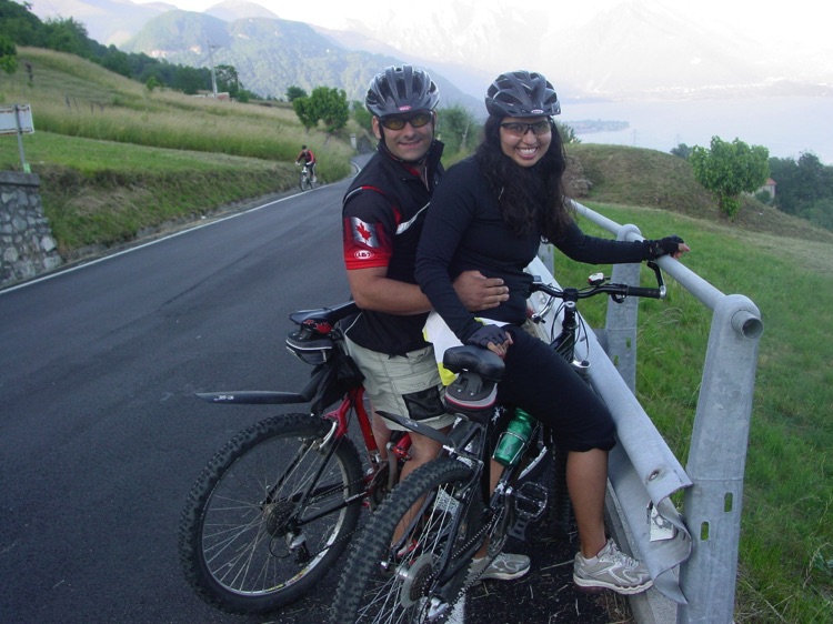
Amid beautiful landscapes, the serenity of the place, and good company, I completed this cycling tour from Dongo to Rifugio San Jorio and back. An experience that combines effort, history, and nature, leaving lasting memories of the mountains, lake, and alpine valleys.
📌 Route Information (out and back)
• Start / Finish 📍: Dongo (210 m a.s.l.) → Rifugio San Jorio (1,980 m a.s.l.) → return to Dongo
• Total Distance 🚴: ~41.4 km (round trip)
• Estimated Time ⏱️: 5–6 hours, including photo stops and scenic breaks
• Average Gradient 📈: 7–8% (steeper sections up to 18% on the final gravel kilometers)
• Total Elevation Gain: ~1,770 m
• Minimum / Maximum Altitude ⛰: 210 m / 1,980 m a.s.l.
• Surface 🛣: 60% paved – 40% gravel (outbound), 50% paved – 50% gravel (return)
• Difficulty 💪 : Challenging
• Views: Lake Como, Valtellina, surrounding mountains (Monte Legnone, Legnoncino, Monte Crocetta, Monte Bregagno), alpine valleys, isolated chalets
• Vegetation: Chestnuts, beeches, maples in lower sections; firs, larches, and pines higher up; alpine meadows and shrubs at the highest points
• Highlights: Gravel/mule track with curves and switchbacks, mountain fountain along the route, arrival on Monte Giovo ridge
Route Map 📍: Map Coming Coming Soon