
Coastal Circle Cycle Tour – Vancouver, Sunshine Coast & Vancouver Island, British Columbia, Canada
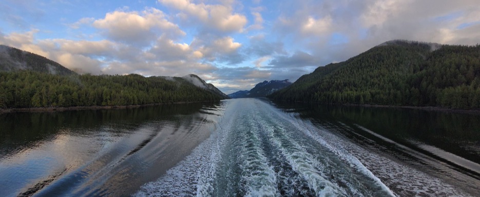
The Coastal Circle Cycle Tour is a self-supported cycling loop around the Salish Sea, linking Vancouver, the Sunshine Coast, and Vancouver Island in British Columbia, Canada. It is a continuous route where bicycle, ocean, and ferries create one flowing movement through rugged shorelines, forests, fjords, and the traditional territories of First Nations communities.
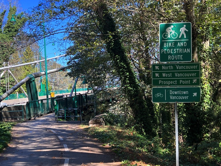
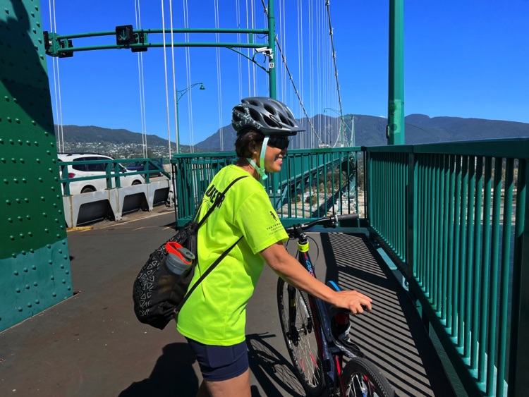
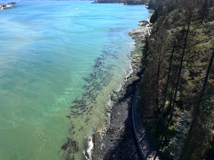
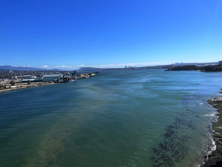
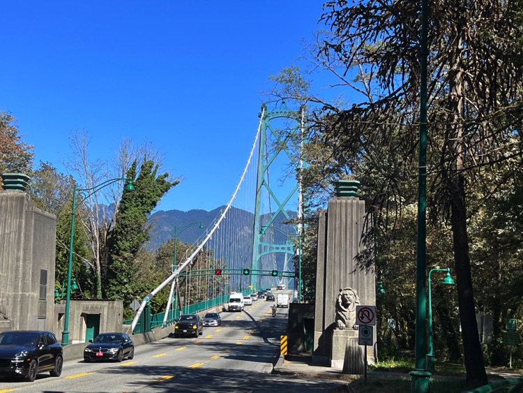
You leave Vancouver with that familiar feeling of a journey just beginning, when everything still lies ahead. The first kilometres roll between city streets and water until the Lions Gate Bridge appears. Below, the harbour filled with ships; beside you, the forest of Stanley Park; ahead, the open ocean. It is the moment when the city gives way to the journey.
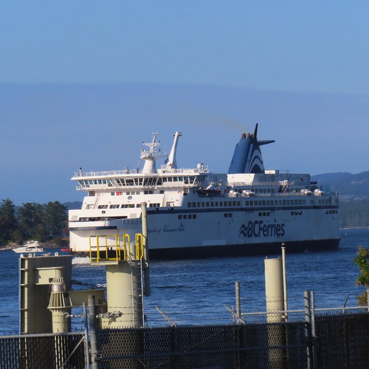
After crossing the bridge, the road enters West Vancouver, following the shoreline with constant ups and downs until Horseshoe Bay, a small harbour tucked between mountains and sea, where the BC Ferries network begins.
Sunshine Coast
The first ferry, about 40 minutes, reaches Gibsons, a relaxed coastal town with a marina, cafés, and houses facing the water. From here, the Sunshine Coast truly begins.
Highway 101 follows the shape of the land, never really becoming flat. The route passes Roberts Creek, Davis Bay, and Sechelt, a small coastal town located within the traditional territory of the Sechelt First Nation. Farther north, the road continues toward Halfmoon Bay, Pender Harbour, and Madeira Park, among deep bays, forested slopes, and constant ocean views.
Here the ride finds its natural rhythm: curves, short climbs, quick descents, and glimpses of the sea between the trees.
At Ruby Lake Resort, the journey pauses in a different way. The bike is left behind for a while, and a canoe replaces it. On the still waters of Ruby Lake, surrounded by the forests of the Caren Range, everything slows down. For a moment, the road disappears. Then the ride continues toward Earls Cove, at the northern tip of the Sechelt Peninsula.
The second ferry, about one hour, crosses narrow fjords to Saltery Bay. The landscape becomes wilder, and the first night is spent at Saltery Bay Campground among tall trees and ocean air.
Mainland Coast to Powell River
The following day continues along the mainland coast of British Columbia toward Powell River, a town on the Salish Sea historically built around the paper industry and now an important regional ferry hub.
From here departs the longest ferry crossing of the route, about 1 hour and 40 minutes, sailing to Comox. This is the moment when the mainland is left behind and Vancouver Island is finally reached.
Vancouver Island
Arrival in Comox brings another change of scenery. The east coast of Vancouver Island feels broader and brighter, with open farmland, beaches, and steady ocean winds.
The route continues through Courtenay, Royston, and Union Bay to Fanny Bay, well known for its oysters and long tradition of shellfish farming.
Farther south, the ride passes Deep Bay, with the option of a short detour to Coombs, famous for the Old Country Market where real goats graze on the grassy rooftop one of the island’s most curious landmarks.
The route returns to the coast through Qualicum Bay, a long shoreline stretch where the second night is spent at Qualicum First Nation Campground, between beach and forest.
The next day continues through Parksville to Nanaimo, one of the island’s main harbour cities.
The Return
From Nanaimo, the final ferry sails back to Horseshoe Bay, another 1 hour and 40 minute crossing over the Salish Sea. This time the ocean is no longer departure, but return.
Back on the mainland, the bike carries you through the final kilometres toward Vancouver. Then the Lions Gate Bridge appears once more the same bridge as the beginning, but seen through different eyes.
Conclusion
The Coastal Circle Cycle Tour is more than a geographic route. It is a journey shaped by the rhythm of water and pedalling. Each section has its own character: the rolling and intimate Sunshine Coast, the more remote mainland shore, the open brightness of Vancouver Island, and the ferries acting as natural pauses between lands.
In the end, the circle closes where it began, yet something has changed. What remains is the feeling of having travelled along a great Pacific edge, where road, forest, and ocean breathe together.
📌 Route Information
• Start & Finish📍: Vancouver, Columbia Britannica
• Main Locations Passed 🌍 : Vancouver → Horseshoe Bay → Gibsons → Sechelt → Madeira Park → Saltery Bay → Powell River → Comox → Fanny Bay → Qualicum Bay → Nanaimo → Vancouver
• Route Type 🔄 : Clockwise loop
• Distance 🚴♂️ : Approx. 429 km
• Duration 📅 : 3 days
• Road Type 🛣️ ; Scenic paved roads, rolling terrain, bike + ferry combination
• Difficultyà 💪 : Moderate / Challenging
• Ferries Included ⛴️ :
1. Horseshoe Bay → Gibsons (about 40 min)
2. Earls Cove → Saltery Bay (about 50–60 min)
3. Powell River → Comox (about 1h 40 min)
4. Nanaimo → Horseshoe Bay (about 1h 40 min)
• Highlights 🌟️ : Crossing the Lions Gate Bridge · Canoe break at Ruby Lake Resort · Famous oysters of Fanny Bay · Rooftop goats in Coombs · Four ferries at the heart of the adventure
• Accommodation 🏕️ : Saltery Bay Campground & Qualicum First Nation Campground
• Tour Map📍: View Map – coming soon
coming soon